MyTopo
Florence Alabama US Topo Map
Couldn't load pickup availability
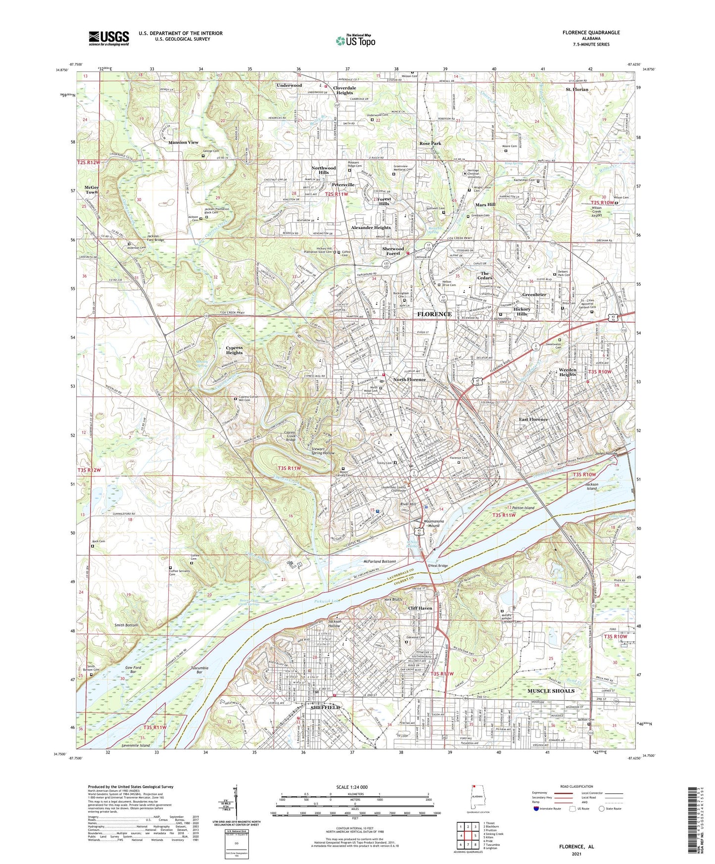
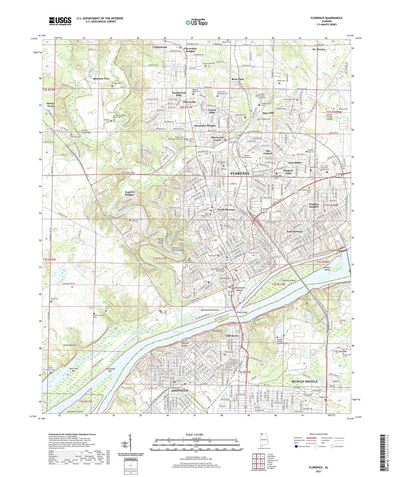
2024 topographic map quadrangle Florence in the state of Alabama. Scale: 1:24000. Based on the newly updated USGS 7.5' US Topo map series, this map is in the following counties: Lauderdale, Colbert. The map contains contour data, water features, and other items you are used to seeing on USGS maps, but also has updated roads and other features. This is the next generation of topographic maps. Printed on high-quality waterproof paper with UV fade-resistant inks.
Quads adjacent to this one:
West: Sinking Creek
Northwest: Threet
North: Blackburn
Northeast: Pruitton
East: Killen
Southeast: Leighton
South: Tuscumbia
Southwest: Pride
This map covers the same area as the classic USGS quad with code o34087g6.
Contains the following named places: Alabama Avenue School, Alabama Highway Patrol Troop E Post, Alexander Heights, Anderson Rosenwald School, Annapolis Avenue Church of Christ, Armistead Cemetery, Bailey Branch, Beasley Spring, Beaver Dam Creek Springs, Beckman, Beechwood, Blake School, Brandon Elementary School, Briarcliff, Brookwood Village Shopping Center, Buckingham, Burrell-Slater High School, Burtwell Spring, Calvary Baptist Church, Canaan, Central Christian Church, Chisholm Hills, Church of Christ, Church of God of Prophecy, City of Florence, City of Sheffield, Cliff Haven, Cloverdale Heights, Coffee Cemetery, Coffee High School, Coffee Rosenwald School, Colonial Manor Hospital, Columbia Avenue Presbyterian Church, Country Club Acres, Cow Ford Bar, Cox Avenue Church of Christ, Cox Creek, Cox Creek Park, Craven Branch, Creekwood, Cypress Creek, Cypress Creek Bridge, Cypress Crest, Cypress Forest, Cypress Heights, Diamond Park and Golf Course, East Florence, East Sheffield, Easton, Eastside Missionary Baptist Church, Edgemont, Eliza Coffee Memorial Hospital, English Village Shopping Center, Fairview, First Assembly of God Church, First Baptist Church, First Church of the Nazarene, First Methodist Church, First Missionary Baptist Church, First Pentecostal Church, First Presbyterian Church, Florence, Florence Canal, Florence Cemetery, Florence Christian Academy, Florence City Hall, Florence Fire Department Station 1, Florence Fire Department Station 3, Florence Fire Department Station 4, Florence Fire Department Station 5, Florence Golf and Country Club, Florence High School, Florence Junior High School, Florence Landing, Florence Lauderdale Industrial Park, Florence Municipal Park, Florence Plaza Shopping Center, Florence Police Department, Florence Post Office, Florence State Dock, Florence Synodical Female College, Florence Water Treatment Plant, Forest Hills, Forest Hills Junior High School, Four Lane Shopping Center, Friendship Freewill Baptist Church, Furnace Hill, Gaston Chapel Primitive Baptist Church, George Cemetery, Gilbert School, Glendale Estates, Grace Episcopal Church, Greenbrier, Greenview Memorial Cemetery, Gresham Cemetery, Handy Museum, Handy School, Healing Fountain Church of God, Heathrow, Hibbett School, Hickory Hill Plantation, Hickory Hills, Hickory Hills Plaza Shopping Center, Highland Methodist Church, Huddon Creek, International Bible College, Jackson Cemetery, Jackson Ford Bridge, Jackson Hollow, Jackson Island, Jerusalem School, Jones Hollow, Joy-Lan Drive-In, JW Powell School, Kachelman Cemetery, King Spring, Kirby Elementary School, Lauderdale County Courthouse, Lauderdale County Sheriff's Office, Little Cypress Creek, Loyall, Mansion View, Mars Hill, Mars Hill Bible School, Mars Hill School, McFarland Bottoms, McFarland Park, McGee Town, Moore Cemetery, Morningdale, Mount Calvary Cemetery, Murphy - Kemper - Cockburn Cemetery, Muscle Shoals Reservation, National Fertilizer Development Center, New Castle Estates, North Alabama State Fair Park, North Florence, North Florence Park, North Florence Post Office, North Port, Northgate Shopping Center, Northwood Hills, Northwood Park, Northwood Plaza Shopping Center, Oakwood Cemetery, Olland, O'Neal Bridge, O'Neal Harbor, Parkway Shopping Center, Patton Island, Petersville, Point Park, Pond Creek, Popes Tavern Museum, Price Cemetery, Regency Square Mall Shopping Center, River Bend Center For Mental Health, River Hill, River Oaks, Rock School, Rose Park, Saint Josephs School, Sam C Harlan Elementary School, Sannoner Historic District, Seven Points Shopping Center, Sheffield, Sheffield Dock, Sheffield Fire Department Station 1, Sheffield Fire Department Station 2, Sheffield Heights, Sheffield High School, Sheffield Police Department, Sheffield Post Office, Sherill Gardens, Sherwood Forest, Six Points, Smith Bottom, Smith Bottom Cemetery, South Florence, Stewart Spring Hollow, Sweetwater Creek, Sweetwater Plantation, Tenth Avenue Park, The Cedars, The Forks Plantation, Threadgill Elementary School, Three Forks, Three Points School, Town Plaza Shopping Center, Tri - Cities Memorial Gardens Cemetery, Tri Cities Park, Tuscumbia Bar, TVA Forage Research, Twin Brooks, Underwood, Underwood - Petersville Volunteer Fire Department, Underwood Cemetery, Underwood Elementary School, Underwood Estates, University of North Alabama, Valley Spring, Vestavia Gardens, Walker School, Walnut Street Historic District, Washington Park, Waumanona Mound, WBCF-AM (Florence), Weeden Elementary School, Weeden Heights, Wildwood Park, Wilson Cemetery, Wilson Creek, Wilson Creek Airport, Wilson Dam, Wilson Dam Post Office, Wilson Dam Village Number Three, Wilson Middle School, Wilson Park, Windcrest, Windsor Heights, WJOI Radio Tower, WLAY-AM (Muscle Shoals), WLAY-FM (Muscle Shoals), Wood Avenue Historic District, Woodlawn Heights, WOWL Radio Tower, WOWL-TV Tower, WSHF-AM (Sheffield), WVNA-AM (Tuscumbia), WVNA-FM (Tuscumbia), WXOR-AM (Florence), York Bluffs, York Terrace Park, ZIP Codes: 35630, 35660


