MyTopo
Saint Andrews Bay Alabama US Topo Map
Couldn't load pickup availability
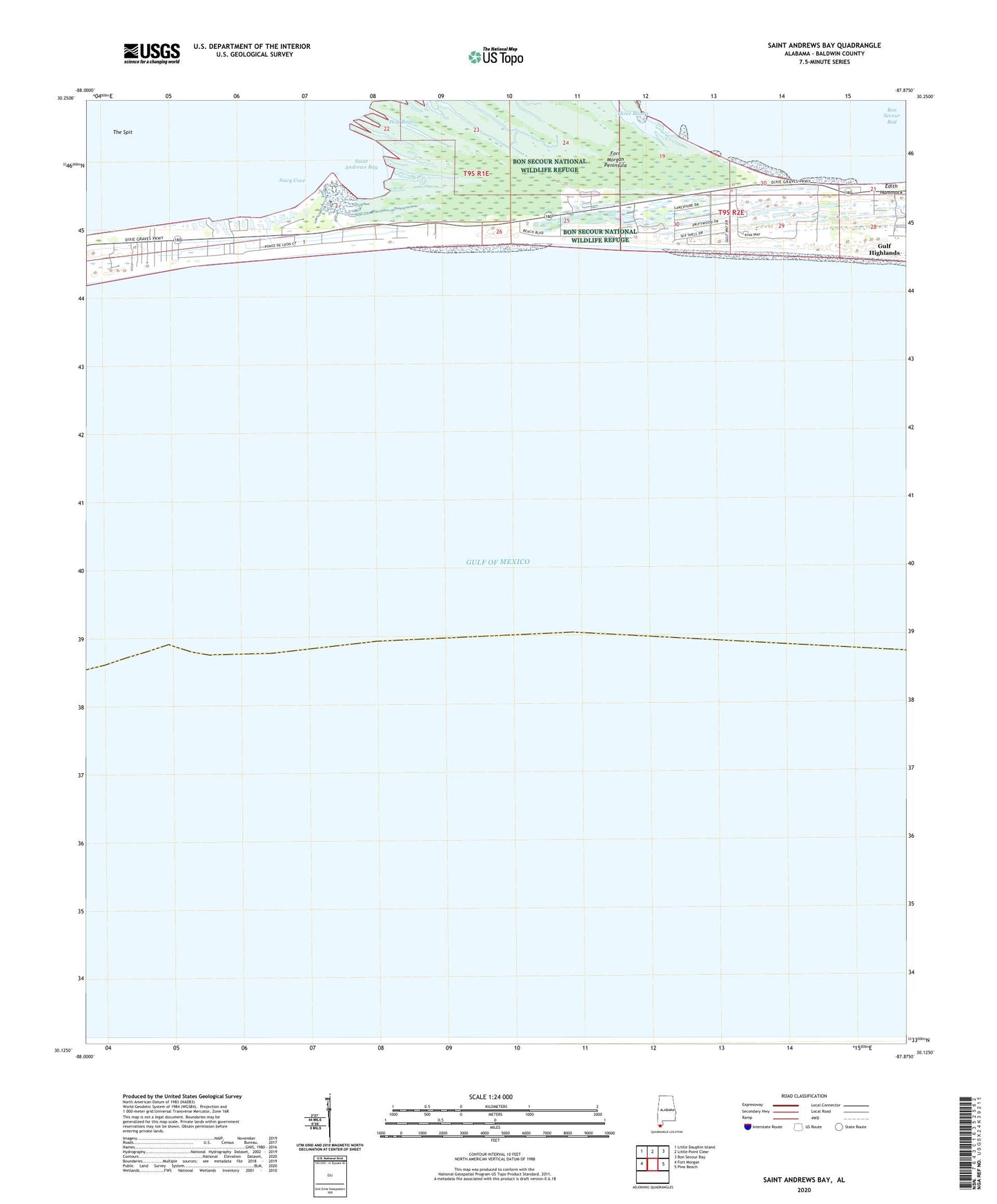
2025 topographic map quadrangle Saint Andrews Bay in the state of Alabama. Scale: 1:24000. Based on the newly updated USGS 7.5' US Topo map series, this map is in the following counties: Baldwin. The map contains contour data, water features, and other items you are used to seeing on USGS maps, but also has updated roads and other features. This is the next generation of topographic maps. Printed on high-quality waterproof paper with UV fade-resistant inks.
Quads adjacent to this one:
West: Fort Morgan
Northwest: Little Dauphin Island
North: Little Point Clear
Northeast: Bon Secour Bay
East: Pine Beach
This map covers the same area as the classic USGS quad with code o30087b8.
Contains the following named places: Fort Morgan Peninsula, Gulf Highlands, Hog Bayou, Kiva Dunes Golf Course, Navy Cove, Pilot Town, Saint Andrews Bay, The Spit, Three Rivers