MyTopo
The Basin Alabama US Topo Map
Couldn't load pickup availability
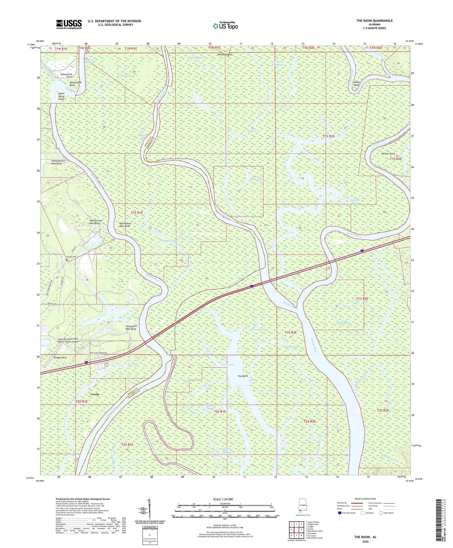
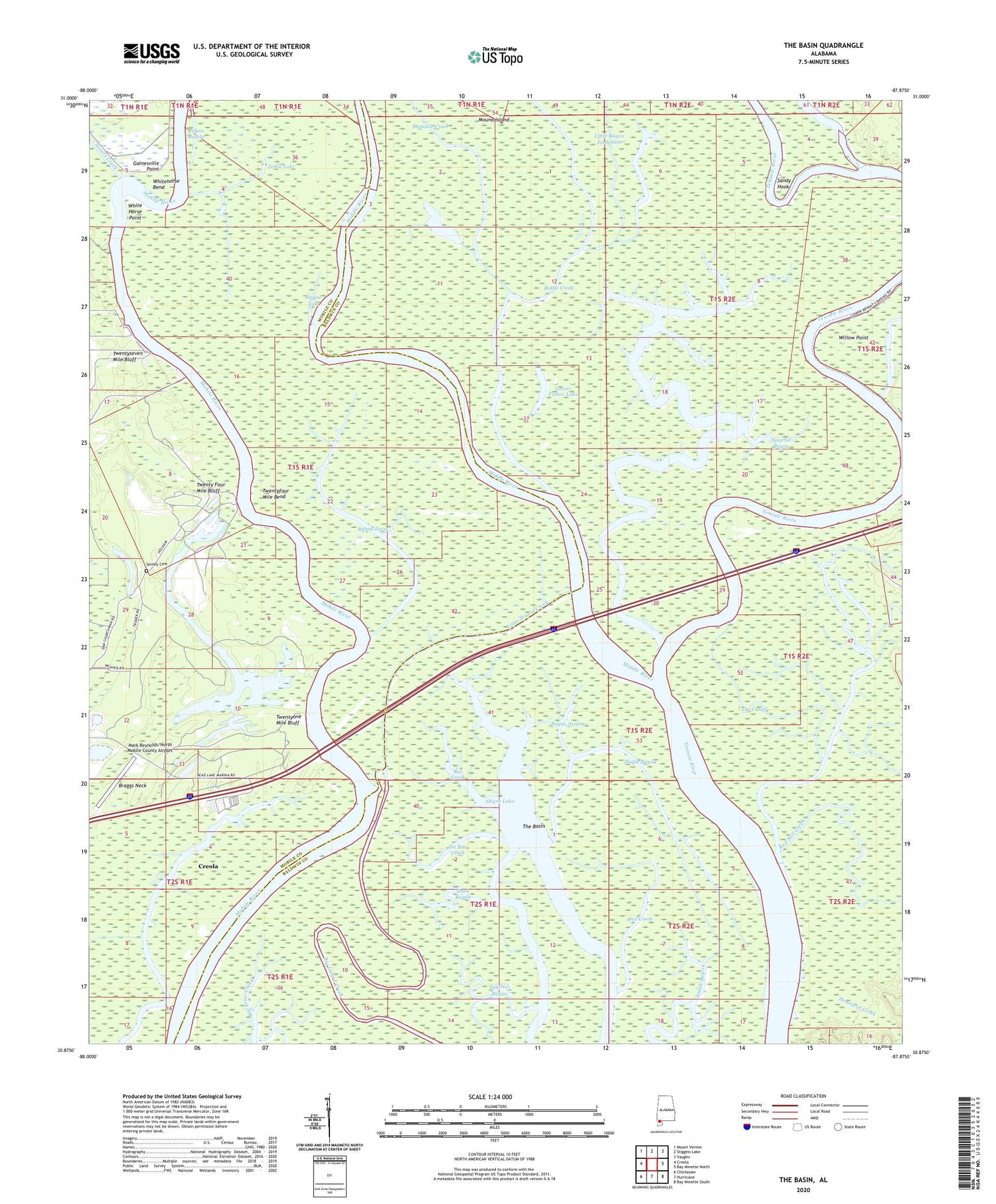
2024 topographic map quadrangle The Basin in the state of Alabama. Scale: 1:24000. Based on the newly updated USGS 7.5' US Topo map series, this map is in the following counties: Baldwin, Mobile. The map contains contour data, water features, and other items you are used to seeing on USGS maps, but also has updated roads and other features. This is the next generation of topographic maps. Printed on high-quality waterproof paper with UV fade-resistant inks.
Quads adjacent to this one:
West: Creola
Northwest: Mount Vernon
North: Stiggins Lake
Northeast: Vaughn
East: Bay Minette North
Southeast: Bay Minette South
South: Hurricane
Southwest: Chickasaw
This map covers the same area as the classic USGS quad with code o30087h8.
Contains the following named places: Alligator Lake, Bat Creek, Bates Creek, Bayou Avalon, Bayou Tola, Bayou Zeast, Bottle Creek, Bottle Creek Site, Braggs Neck, Carter Branch, Cold Creek, Dead Lake, Dead Lake Mobile Home Park, Dennis Creek, Dennis Lake, Dominic Creek, Duck Bayou, Fisher Lake, Fort Louis de la Louisiane, Fort Louis Historical Marker, Fort Philip, Gainesville Point, Griffin Creek, Grompau Branch, Holcim Axis Quarry, Honeycut Creek, Killcreas Lake, Little Bayou Jessamine, Little Johns Creek, Little Lizard Creek, Lower Fisher Lake, Maple Bayou, Mark Reynolds/North Mobile County Airport, Martin Branch, Middle River, Mound Island, Mud Landing, Owl Creek, Rains Creek, Red Hill Creek, Saint Lukes Church, Salco Landing, Sand Landing, Sandy Hook, Shipes Canal, Six Bits Creek, Smiths Cemetery, Squirrel Bayou, The Basin, The Cutoff, The T, Twenty Four Mile Bluff, Twenty One Mile Bluff Landing, Twentyfour Mile Bend, Twentyone Mile Bluff, Twentyseven Mile Bluff, Wash Branch, White Horse Point, Whitehorse Bend, Willow Point, Zedol Lake


