MyTopo
Creola Alabama US Topo Map
Couldn't load pickup availability
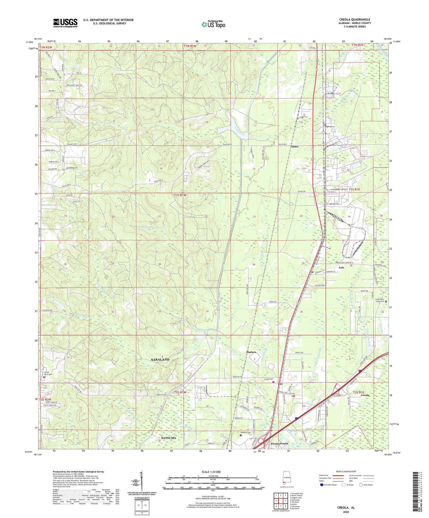
2024 topographic map quadrangle Creola in the state of Alabama. Scale: 1:24000. Based on the newly updated USGS 7.5' US Topo map series, this map is in the following counties: Mobile. The map contains contour data, water features, and other items you are used to seeing on USGS maps, but also has updated roads and other features. This is the next generation of topographic maps. Printed on high-quality waterproof paper with UV fade-resistant inks.
Quads adjacent to this one:
West: Chunchula
Northwest: Citronelle East
North: Mount Vernon
Northeast: Stiggins Lake
East: The Basin
Southeast: Hurricane
South: Chickasaw
Southwest: Kushla
This map covers the same area as the classic USGS quad with code o30088h1.
Contains the following named places: Arkemia Industrial Site Wastewater Treatment Facility, Axis, Axis Census Designated Place, Axis Post Office, Baldwin Cemetery, Barry Village, Celeste, City of Creola, Cold Creek Dam, Cold Creek Oil Field, Cold Creek Reservoir, Cold Creek Swamp, Creola, Creola Cemetery, Creola Church, Creola Mobile Home Park, Creola Police Department, Creola Post Office, Creola School, Creola United Methodist Church, Creola Volunteer Fire Department, Cypress Pond Branch, First Baptist Church of Axis, Forest Lawn Cemetery, Forest Lawn Church, Hall Branch, Harpers Branch, Hatters, Hatters Mill, Hatters Pond, Hatters Pond Gas Field, Jim Bell Branch, Le Moyne, Little Bethel Church, Little Rock Baptist Church, Little Saint Louis Cemetery, Little Saint Louis Church, Malones Bridge, Maples Lake Dam, New Beginnings Christian Center, New Bethel Church, Reedy Branch, Rocky Branch, Saint Louis School, Salco, Salco 43 Industrial Park, Sanctuary Assembly of God Church, Sawmill Creek, Seymore Branch, Sipau Branch, South Cold Creek Oil Field, Turnerville Oil Field, Turtle Branch, Wards Mobile Home Park, ZIP Codes: 36505, 36512, 36525