MyTopo
Thomaston West Alabama US Topo Map
Couldn't load pickup availability
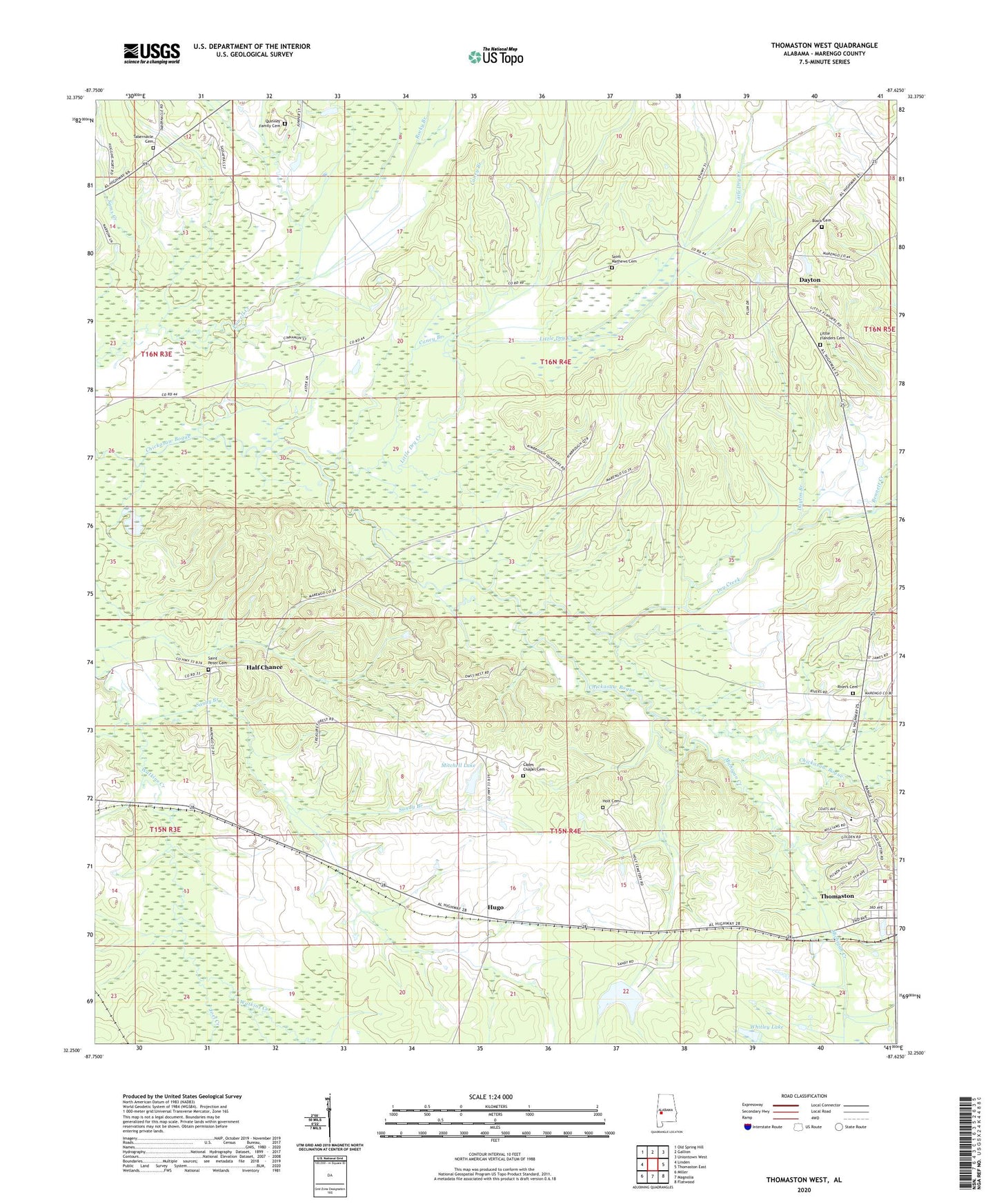
2024 topographic map quadrangle Thomaston West in the state of Alabama. Scale: 1:24000. Based on the newly updated USGS 7.5' US Topo map series, this map is in the following counties: Marengo. The map contains contour data, water features, and other items you are used to seeing on USGS maps, but also has updated roads and other features. This is the next generation of topographic maps. Printed on high-quality waterproof paper with UV fade-resistant inks.
Quads adjacent to this one:
West: Linden
Northwest: Old Spring Hill
North: Gallion
Northeast: Uniontown West
East: Thomaston East
Southeast: Flatwood
South: Magnolia
Southwest: Miller
This map covers the same area as the classic USGS quad with code o32087c6.
Contains the following named places: A L Johnson High School, Bennett Creek, Black Cemetery, Cades Chapel, Cades Chapel Cemetery, Camp Thomaston State Prison Camp, Caney Branch, Dayton, Dayton Branch, Dayton United Methodist Church, Dry Creek, Eagles Stadium, First Methodist Church, Freddie Jones Field Airport, Friendship Church, Goodwill Church, Grove Hill Church, Half Chance, Holt Cemetery, Hope Hill Church, Hugo, Joel Creek, Little Dry Creek, Little Flanders Cemetery, Lovely Baptist Church, Michigan Creek, Mitchell Dam, Mitchell Lake, Palmetto School, Rivers Cemetery, Rocky Branch, Saint James Church, Saint Mathews Cemetery, Saint Matthews Church, Saint Peter Cemetery, Saint Peters Church, Sams Creek, Sandy Branch, Tabernacle Cemetery, Tabernacle Church, Thomaston, Thomaston Colored Institute, Thomaston Volunteer Fire Department Station 2, Town of Dayton, Whitley Dam, Whitley Lake