MyTopo
Windham Springs Alabama US Topo Map
Couldn't load pickup availability
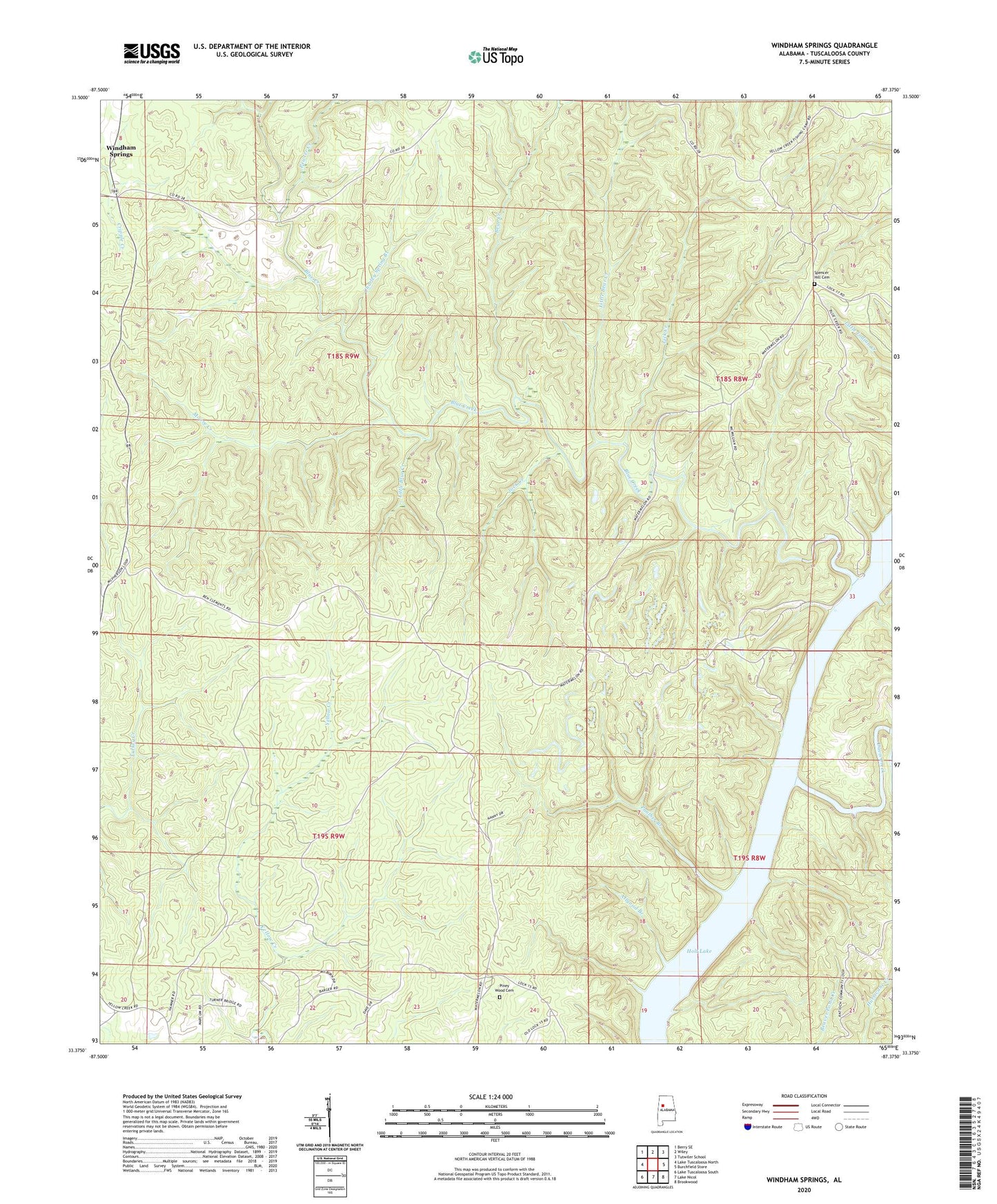
2024 topographic map quadrangle Windham Springs in the state of Alabama. Scale: 1:24000. Based on the newly updated USGS 7.5' US Topo map series, this map is in the following counties: Tuscaloosa. The map contains contour data, water features, and other items you are used to seeing on USGS maps, but also has updated roads and other features. This is the next generation of topographic maps. Printed on high-quality waterproof paper with UV fade-resistant inks.
Quads adjacent to this one:
West: Lake Tuscaloosa North
Northwest: Berry SE
North: Wiley
Northeast: Tutwiler School
East: Burchfield Store
Southeast: Brookwood
South: Lake Nicol
Southwest: Lake Tuscaloosa South
This map covers the same area as the classic USGS quad with code o33087d4.
Contains the following named places: Allgood Branch, Bear Creek, Blue Creek, Blue Creek Number 2 Mine, Blue Creek Public Use Area, Boyds Camp, Charley Spring Branch, Crowder Shoals, Davis Creek, Emily Number 5 Mine, Fair Shoals, Harolds Lake, Jock Creek, Lick Creek, Little Bear Creek, Little Blue Creek, Lock Number Eight, McDuff Spring Branch, Moore Creek, Panther Branch, Pewter Creek, Piney Wood Cemetery, Piney Woods Church, Piney Woods School, Pond Branch, Spencer Hill Cemetery, Spencer Hill Church, Spencer Hill School, Turkey Creek Mine, Walton Road Ford, Windham Springs, Windham Springs Baptist Church, Windham Springs Division