
MyTopo
Baldy Basin Arizona US Topo Map
Couldn't load pickup availability
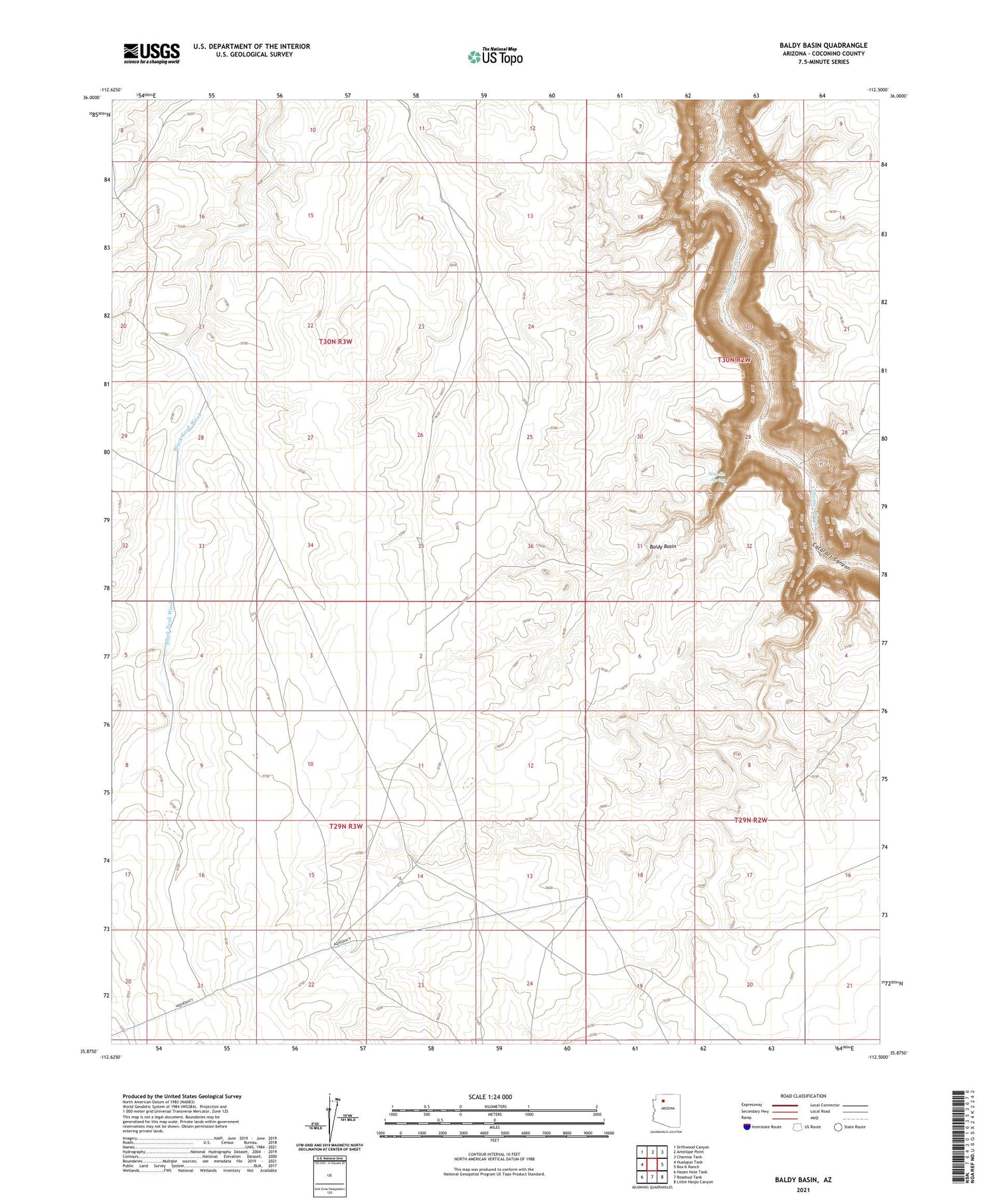
2021 topographic map quadrangle Baldy Basin in the state of Arizona. Scale: 1:24000. Based on the newly updated USGS 7.5' US Topo map series, this map is in the following counties: Coconino. The map contains contour data, water features, and other items you are used to seeing on USGS maps, but also has updated roads and other features. This is the next generation of topographic maps. Printed on high-quality waterproof paper with UV fade-resistant inks.
Quads adjacent to this one:
West: Hualapai Tank
Northwest: Driftwood Canyon
North: Antelope Point
Northeast: Chamisa Tank
East: Box K Ranch
Southeast: Little Harpo Canyon
South: Rosebud Tank
Southwest: Hazen Hole Tank
This map covers the same area as the classic USGS quad with code o35112h5.
Contains the following named places: Baldy Basin, Sinyella Spring, Tank Number Thirteen and One-Half


