MyTopo
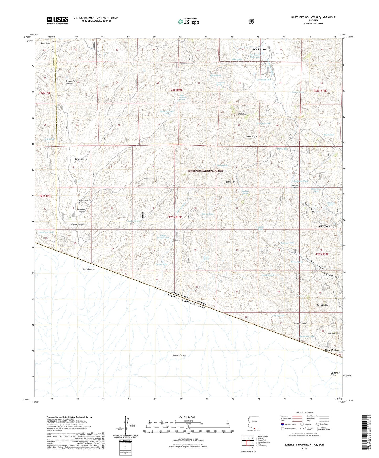
Bartlett Mountain Arizona US Topo Map
Couldn't load pickup availability
Also explore the Bartlett Mountain Forest Service Topo of this same quad for updated USFS data
2021 topographic map quadrangle Bartlett Mountain in the state of Arizona. Scale: 1:24000. Based on the newly updated USGS 7.5' US Topo map series, this map is in the following counties: Santa Cruz, Pima. The map contains contour data, water features, and other items you are used to seeing on USGS maps, but also has updated roads and other features. This is the next generation of topographic maps. Printed on high-quality waterproof paper with UV fade-resistant inks.
Quads adjacent to this one:
West: Cumero Mountain
Northwest: Wilbur Canyon
North: Arivaca
Northeast: Murphy Peak
East: Ruby
Southeast: Alamo Spring
This map covers the same area as the classic USGS quad with code o31111d3.
Contains the following named places: Agua Cercada Canyon, Agua Cercada Spring, Agua Cercada Tank, Agua Cercada Well, Alamo Mine, Austerlitz, Austerlitz Mine, Bartlett Mountain, Black Peak, Bonita Canyon, Bonita Tank, Boundary Tank, Brick Mine, California Gulch, Canoncito, Cantina Wash, Casa Piedra, Cemetery Tank, Choctaw Mine, Cobre Mountain, Cobre Ridge, Coches Canyon, Corner Tank, Dart Tank, El Oro Cemetery, El Oro Mine, Grapevine Spring, Holden Canyon, Holden Tank, Japanese Tank, Japanese Valley, Juan Encinas, Land Tank, Margarita Tank, Mojonera Canyon, Mojonera Well, Nogalito Spring, Oak Tank, Old Glory, Old Glory Spring, Oro Blanco, Oro Blanco Dam, Oro Blanco Ranch, Oro Blanco Reservoir, Oro Fino Mine, Palomas Tank, Partridge, Pasture Tank, Road Canyon Well, Road Tank, Saint Christopher Mine, Saucita Tank, Saucito Spring, Sentinel Peak, Sierra Canyon, Sierra Spring, Sierra Tanks, Sierra Well, Skunk Spring, Tres Bellotas Ranch, Tres Bellotas Well, Turner Tank, Upper Turner Tank, Warsaw Spring, Warsaw Tank, Yanks Spring, Yellow Jacket Mine, Yellow Jacket Tank