MyTopo
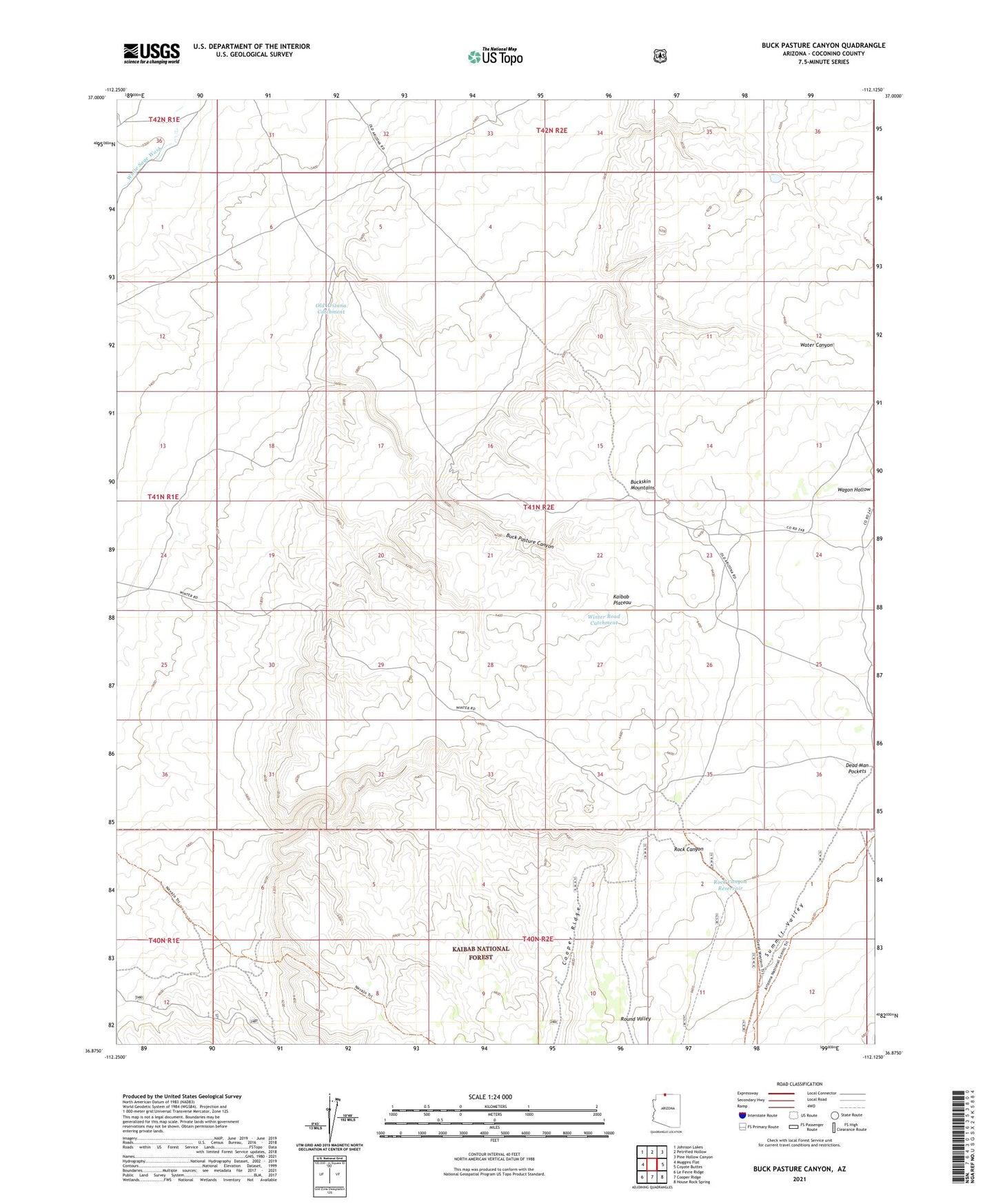
Buck Pasture Canyon Arizona US Topo Map
Couldn't load pickup availability
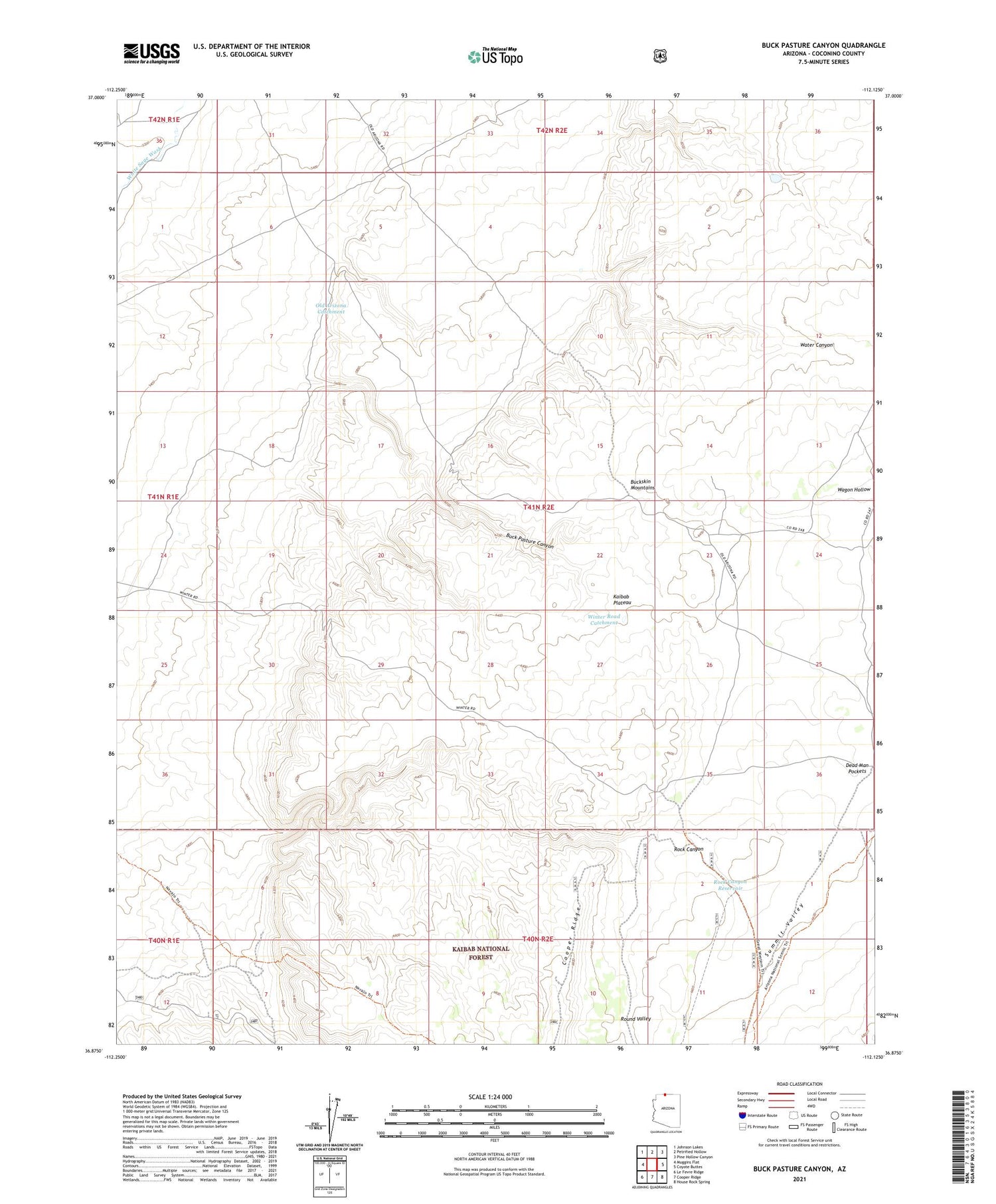
Also explore the Buck Pasture Canyon Forest Service Topo of this same quad for updated USFS data
2021 topographic map quadrangle Buck Pasture Canyon in the state of Arizona. Scale: 1:24000. Based on the newly updated USGS 7.5' US Topo map series, this map is in the following counties: Coconino. The map contains contour data, water features, and other items you are used to seeing on USGS maps, but also has updated roads and other features. This is the next generation of topographic maps. Printed on high-quality waterproof paper with UV fade-resistant inks.
Quads adjacent to this one:
West: Muggins Flat
Northwest: Johnson Lakes
North: Petrified Hollow
Northeast: Pine Hollow Canyon
East: Coyote Buttes
Southeast: House Rock Spring
South: Cooper Ridge
Southwest: Le Fevre Ridge
This map covers the same area as the classic USGS quad with code o36112h2.
Contains the following named places: Bentonite Reservoir, Buckskin Mountains, Dead Man Pockets, Franks Reservoir, Kaibab Plateau Arizona Trail, Navajo Trail, Navajo Trait Tank, Navajo Trait Trick Tank, Old Arizona Catchment, Rock Canyon Reservoir, Shearing Shed Reservoir, Summit Valley, Summit Valley Tank, Summit Valley Wildlife Apron, Wagon Hollow, Water Canyon, Winter Road Catchment