MyTopo
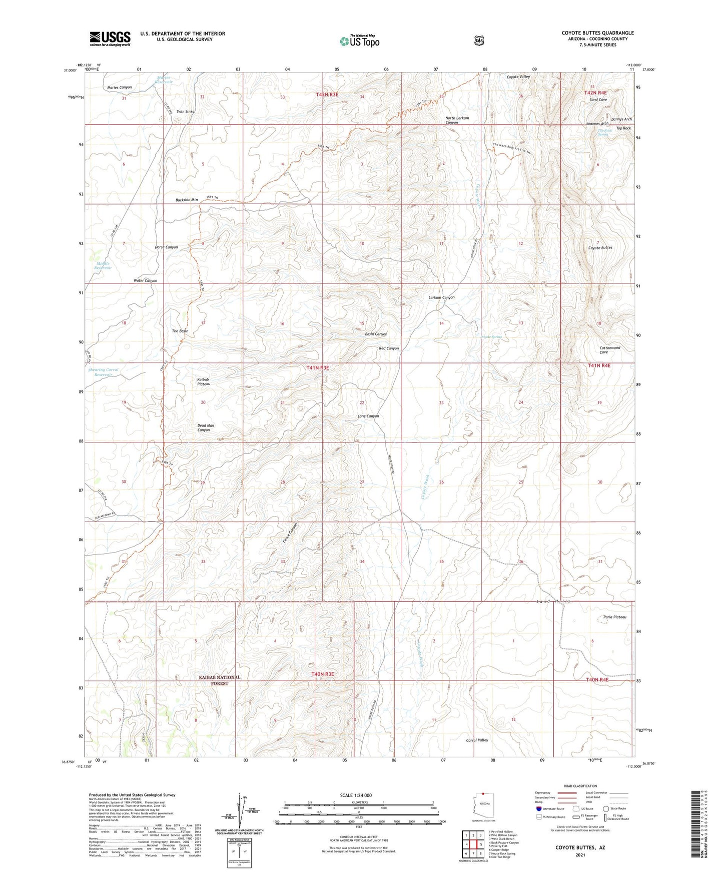
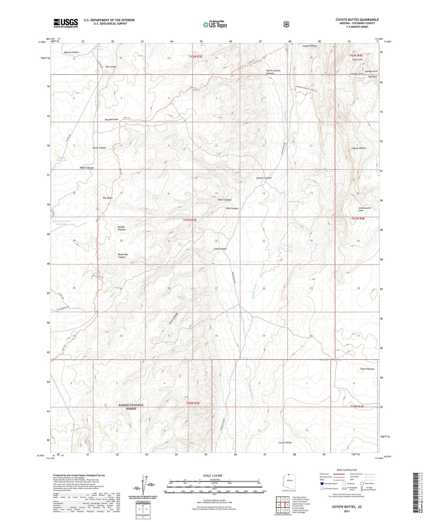
Coyote Buttes Arizona US Topo Map
Couldn't load pickup availability
Also explore the Coyote Buttes Forest Service Topo of this same quad for updated USFS data
2021 topographic map quadrangle Coyote Buttes in the state of Arizona. Scale: 1:24000. Based on the newly updated USGS 7.5' US Topo map series, this map is in the following counties: Coconino. The map contains contour data, water features, and other items you are used to seeing on USGS maps, but also has updated roads and other features. This is the next generation of topographic maps. Printed on high-quality waterproof paper with UV fade-resistant inks.
Quads adjacent to this one:
West: Buck Pasture Canyon
Northwest: Petrified Hollow
North: Pine Hollow Canyon
Northeast: West Clark Bench
East: Poverty Flat
Southeast: One Toe Ridge
South: House Rock Spring
Southwest: Cooper Ridge
This map covers the same area as the classic USGS quad with code o36112h1.
Contains the following named places: Basin Canyon, Buckskin Mountain, Corral Valley, Coyote Buttes, Coyote Spring, Dannys Arch, Dead Man Canyon, Fence Canyon, Joannes Arch, Ladder Reservoir, Larkum Canyon, Leach Reservoir, Lone Tree Reservoir, Long Canyon, Maries Reservoir, Middle Reservoir, North Burro Tank, North Larkum Canyon, Paw Hole, Press Tank, Red Canyon, Sand Cove, Shearing Corral Reservoir, The Basin, Top Rock, Top Rock Spring, Twin Sinks