MyTopo
Buffalo Tanks Arizona US Topo Map
Couldn't load pickup availability
Also explore the Buffalo Tanks Forest Service Topo of this same quad for updated USFS data
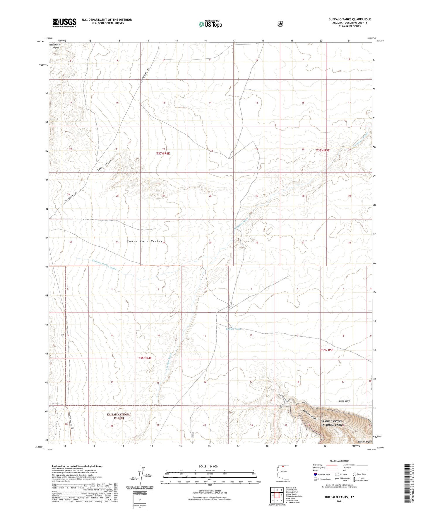
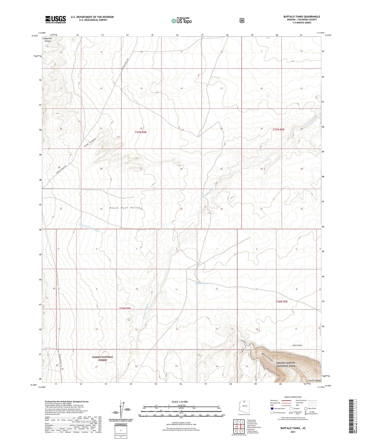
2021 topographic map quadrangle Buffalo Tanks in the state of Arizona. Scale: 1:24000. Based on the newly updated USGS 7.5' US Topo map series, this map is in the following counties: Coconino. The map contains contour data, water features, and other items you are used to seeing on USGS maps, but also has updated roads and other features. This is the next generation of topographic maps. Printed on high-quality waterproof paper with UV fade-resistant inks.
Quads adjacent to this one:
West: Kane Ranch
Northwest: House Rock
North: Emmett Hill
Northeast: Emmett Wash
East: North Canyon Point
Southeast: Tatahatso Point
South: Buffalo Ranch
Southwest: Dog Point
This map covers the same area as the classic USGS quad with code o36111e8.
Contains the following named places: Anderson Tank, Buffalo Tanks, Cane Cairn, Cane Canyon, House Rock Valley Buffalo Range, Pleasant Valley Outlet