MyTopo
Emmett Wash Arizona US Topo Map
Couldn't load pickup availability
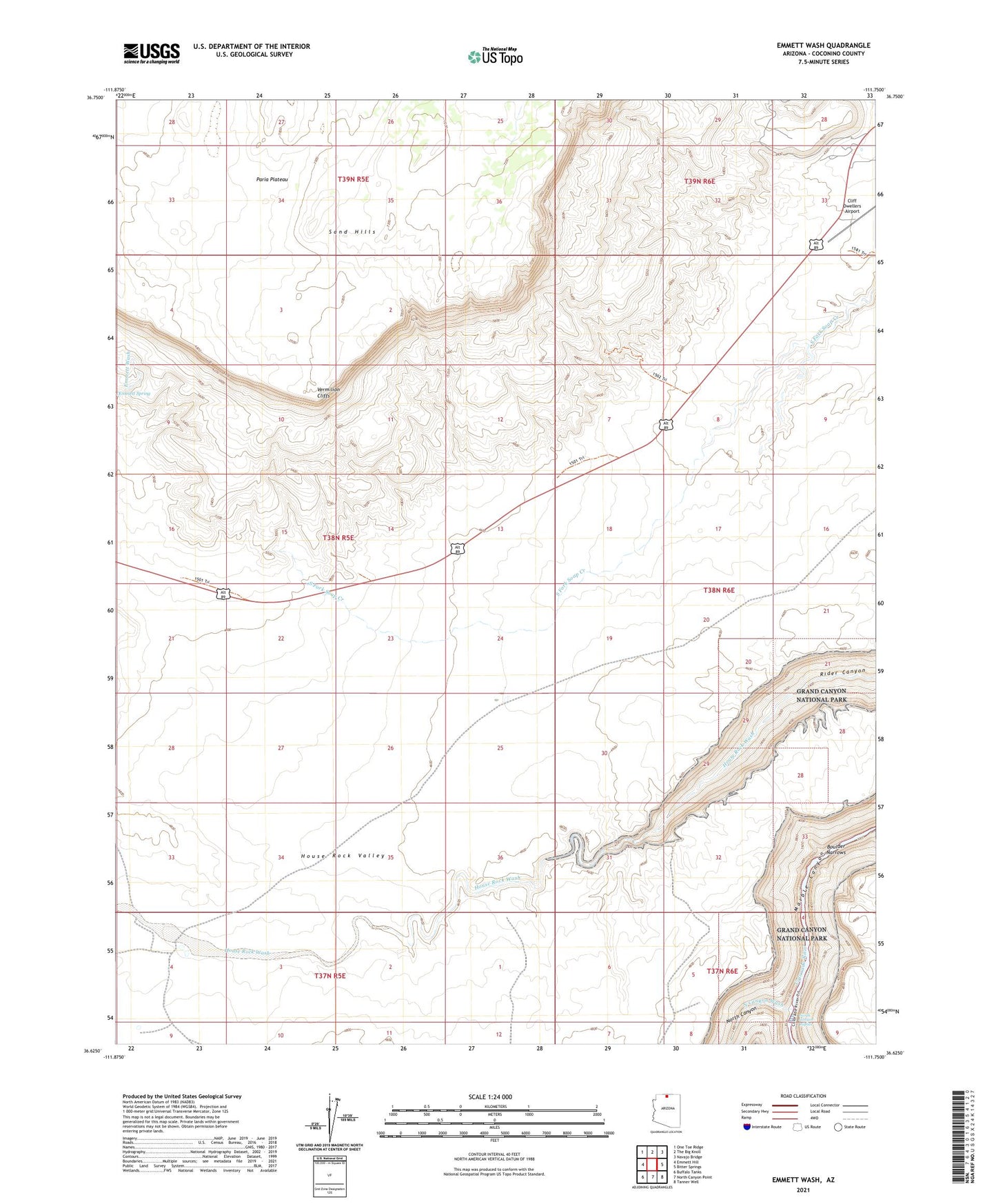
2021 topographic map quadrangle Emmett Wash in the state of Arizona. Scale: 1:24000. Based on the newly updated USGS 7.5' US Topo map series, this map is in the following counties: Coconino. The map contains contour data, water features, and other items you are used to seeing on USGS maps, but also has updated roads and other features. This is the next generation of topographic maps. Printed on high-quality waterproof paper with UV fade-resistant inks.
Quads adjacent to this one:
West: Emmett Hill
Northwest: One Toe Ridge
North: The Big Knoll
Northeast: Navajo Bridge
East: Bitter Springs
Southeast: Tanner Well
South: North Canyon Point
Southwest: Buffalo Tanks
This map covers the same area as the classic USGS quad with code o36111f7.
Contains the following named places: Boulder Narrows, Cliff Dwellers Airport, Cliff Dwellers Lodge, Cram Ranch, North Canyon, North Canyon Rapids, North Canyon Wash, North Creek, Soap Creek Trail, ZIP Code: 86036