MyTopo
Burnt Corn Spring Arizona US Topo Map
Couldn't load pickup availability
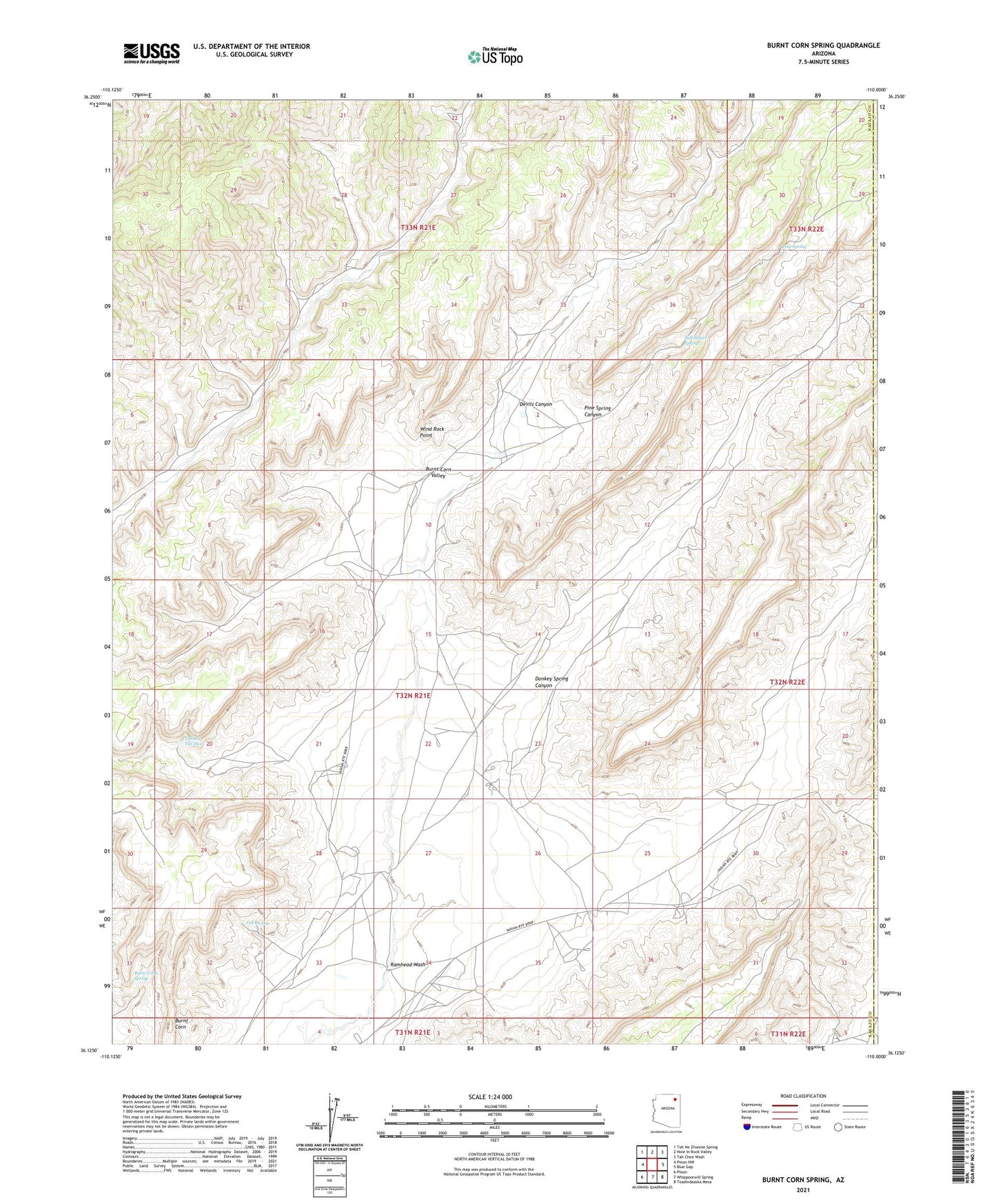
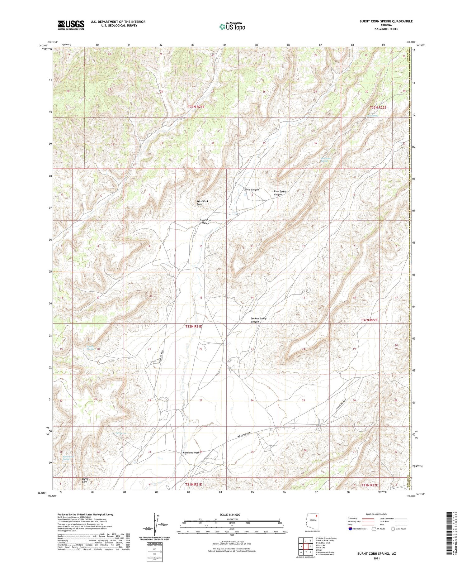
2021 topographic map quadrangle Burnt Corn Spring in the state of Arizona. Scale: 1:24000. Based on the newly updated USGS 7.5' US Topo map series, this map is in the following counties: Navajo, Apache. The map contains contour data, water features, and other items you are used to seeing on USGS maps, but also has updated roads and other features. This is the next generation of topographic maps. Printed on high-quality waterproof paper with UV fade-resistant inks.
Quads adjacent to this one:
West: Pinon NW
Northwest: Toh Ne Zhonnie Spring
North: Hole In Rock Valley
Northeast: Tah Chee Wash
East: Blue Gap
Southeast: Toadindaaska Mesa
South: Whippoorwill Spring
Southwest: Pinon
This map covers the same area as the classic USGS quad with code o36110b1.
Contains the following named places: Blue Gap, Burnt Corn, Burnt Corn Spring, Devils Canyon, Donkey Spring Canyon, Pine Spring, Pine Spring Canyon, Ramhead Wash, Salt Water Spring, Teadepahto Spring, Toh De Coz, Toh Ha Tsil Dize, Tohadistoa Spring, Wind Rock Point