MyTopo
Cactus Forest Arizona US Topo Map
Couldn't load pickup availability
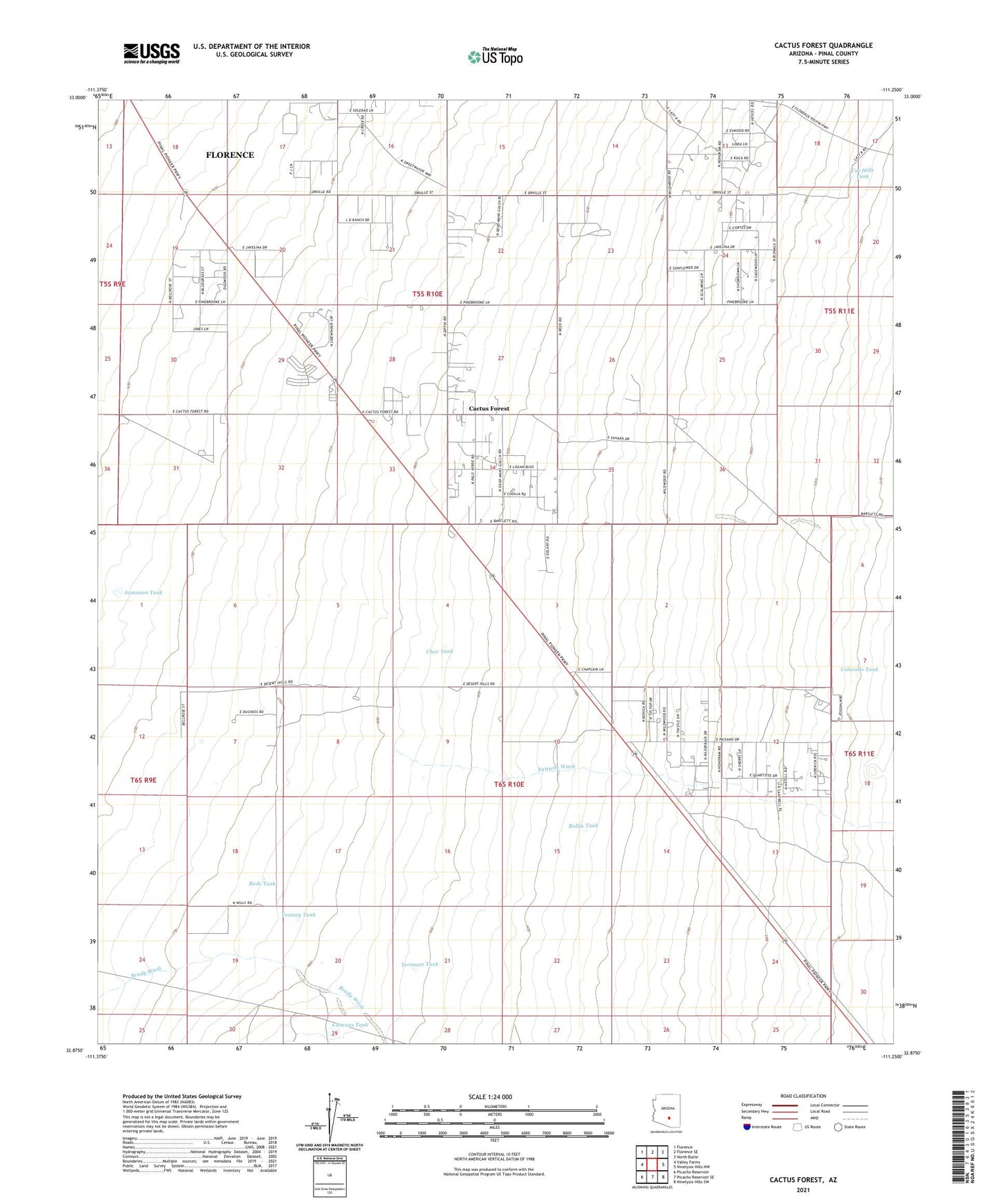
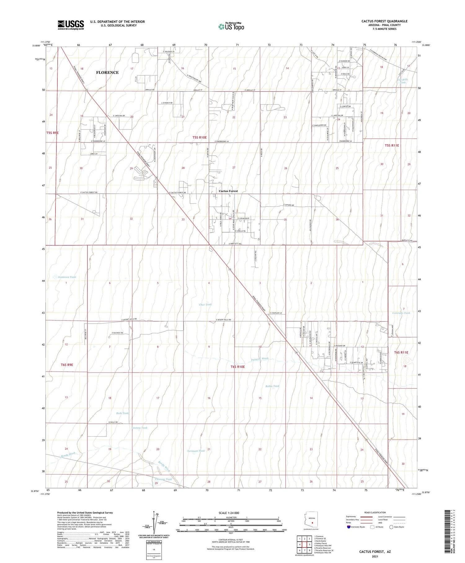
2021 topographic map quadrangle Cactus Forest in the state of Arizona. Scale: 1:24000. Based on the newly updated USGS 7.5' US Topo map series, this map is in the following counties: Pinal. The map contains contour data, water features, and other items you are used to seeing on USGS maps, but also has updated roads and other features. This is the next generation of topographic maps. Printed on high-quality waterproof paper with UV fade-resistant inks.
Quads adjacent to this one:
West: Valley Farms
Northwest: Florence
North: Florence SE
Northeast: North Butte
East: Ninetysix Hills NW
Southeast: Ninetysix Hills SW
South: Picacho Reservoir SE
Southwest: Picacho Reservoir
This map covers the same area as the classic USGS quad with code o32111h3.
Contains the following named places: Bollin Tank, Cactus Forest, Cactus Forest Census Designated Place, Cat Hills Tank, Char Tank, Clemans Tank, Colorado Tank, Jamieson Tank, Paisano Wash, Pinal County, Pinal Pioneer Parkway Rest Area, Reds Tank, Terimate Tank, Youtsey Tank