MyTopo
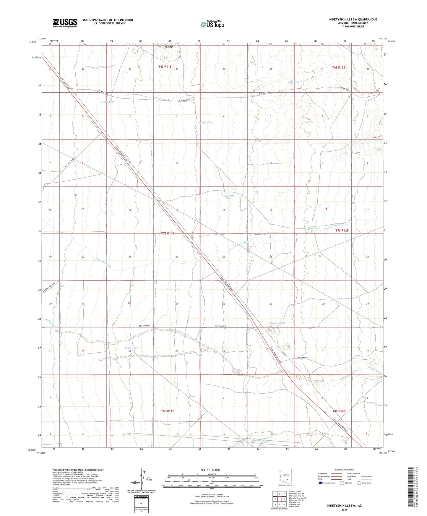
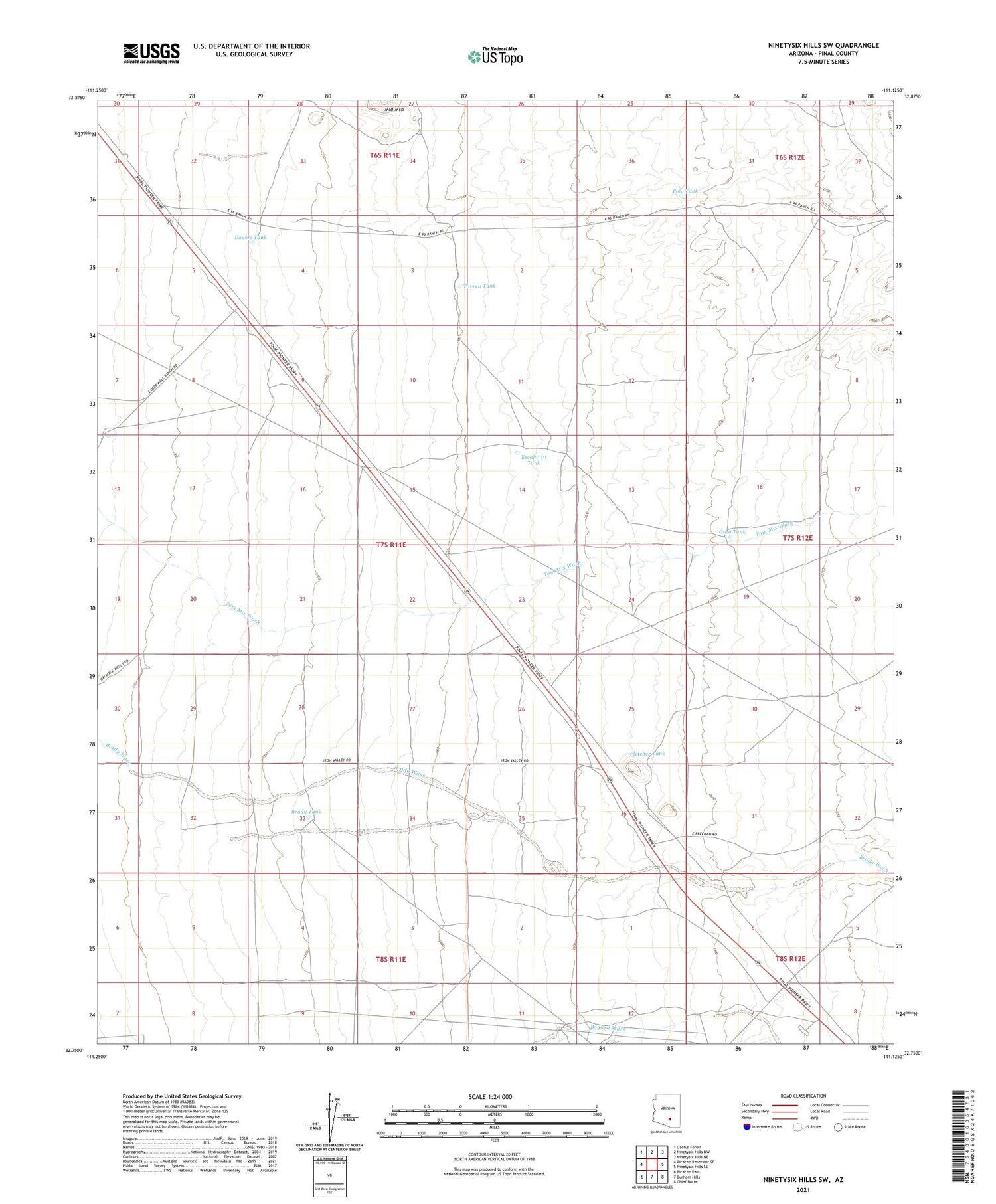
Ninetysix Hills SW Arizona US Topo Map
Couldn't load pickup availability
2021 topographic map quadrangle Ninetysix Hills SW in the state of Arizona. Scale: 1:24000. Based on the newly updated USGS 7.5' US Topo map series, this map is in the following counties: Pinal. The map contains contour data, water features, and other items you are used to seeing on USGS maps, but also has updated roads and other features. This is the next generation of topographic maps. Printed on high-quality waterproof paper with UV fade-resistant inks.
Quads adjacent to this one:
West: Picacho Reservoir SE
Northwest: Cactus Forest
North: Ninetysix Hills NW
Northeast: Ninetysix Hills NE
East: Ninetysix Hills SE
Southeast: Chief Butte
South: Durham Hills
Southwest: Picacho Pass
This map covers the same area as the classic USGS quad with code o32111g2.
Contains the following named places: Brady Tank, Double Tank, Escalanta Tank, Fletcher Tank, Florence Division, Gato Tank, Grumble Wells, Polo Tank, Red Rock Mine, Tom Mix Monument, Tovrea Tank