MyTopo
Cameron North Arizona US Topo Map
Couldn't load pickup availability
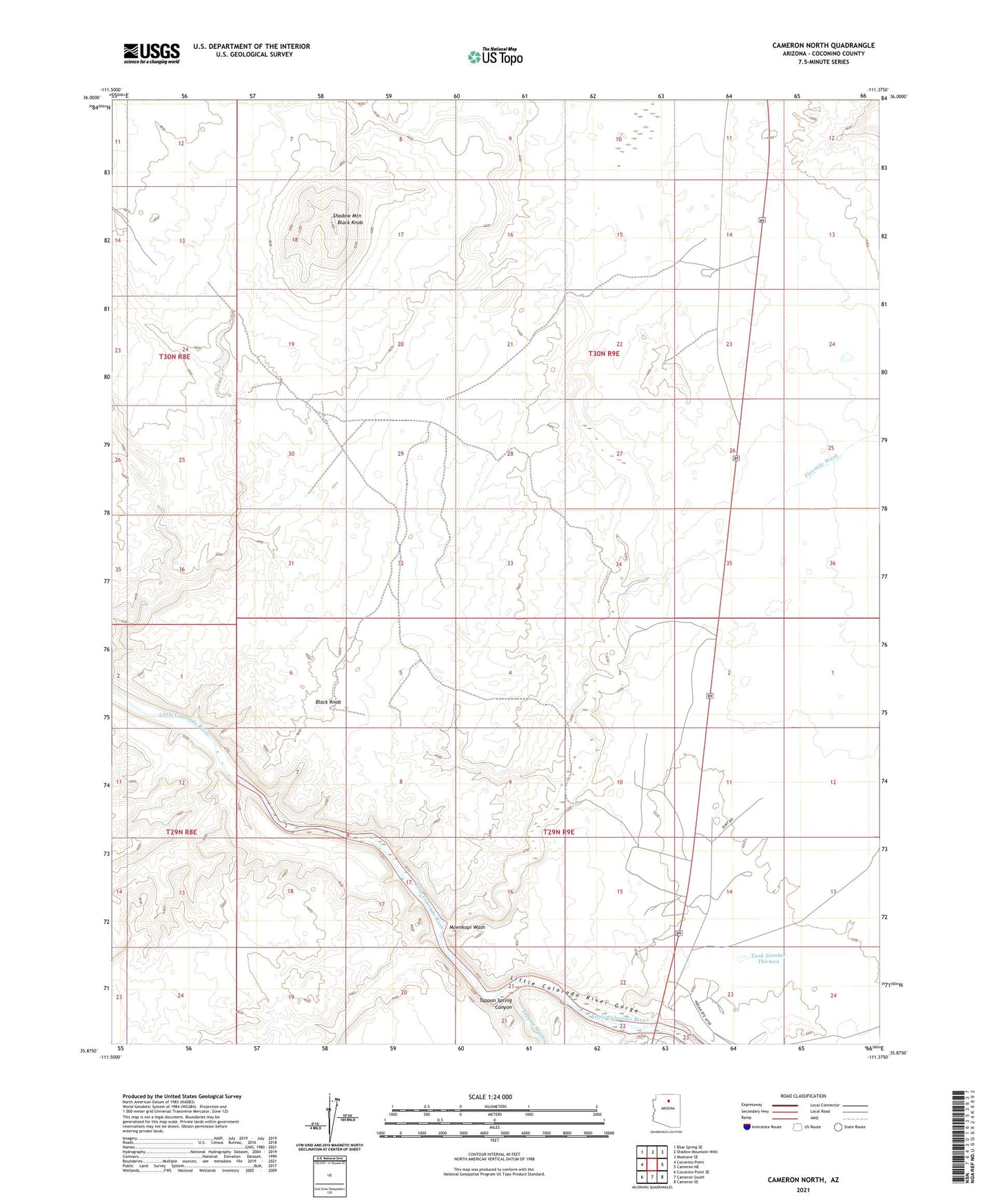
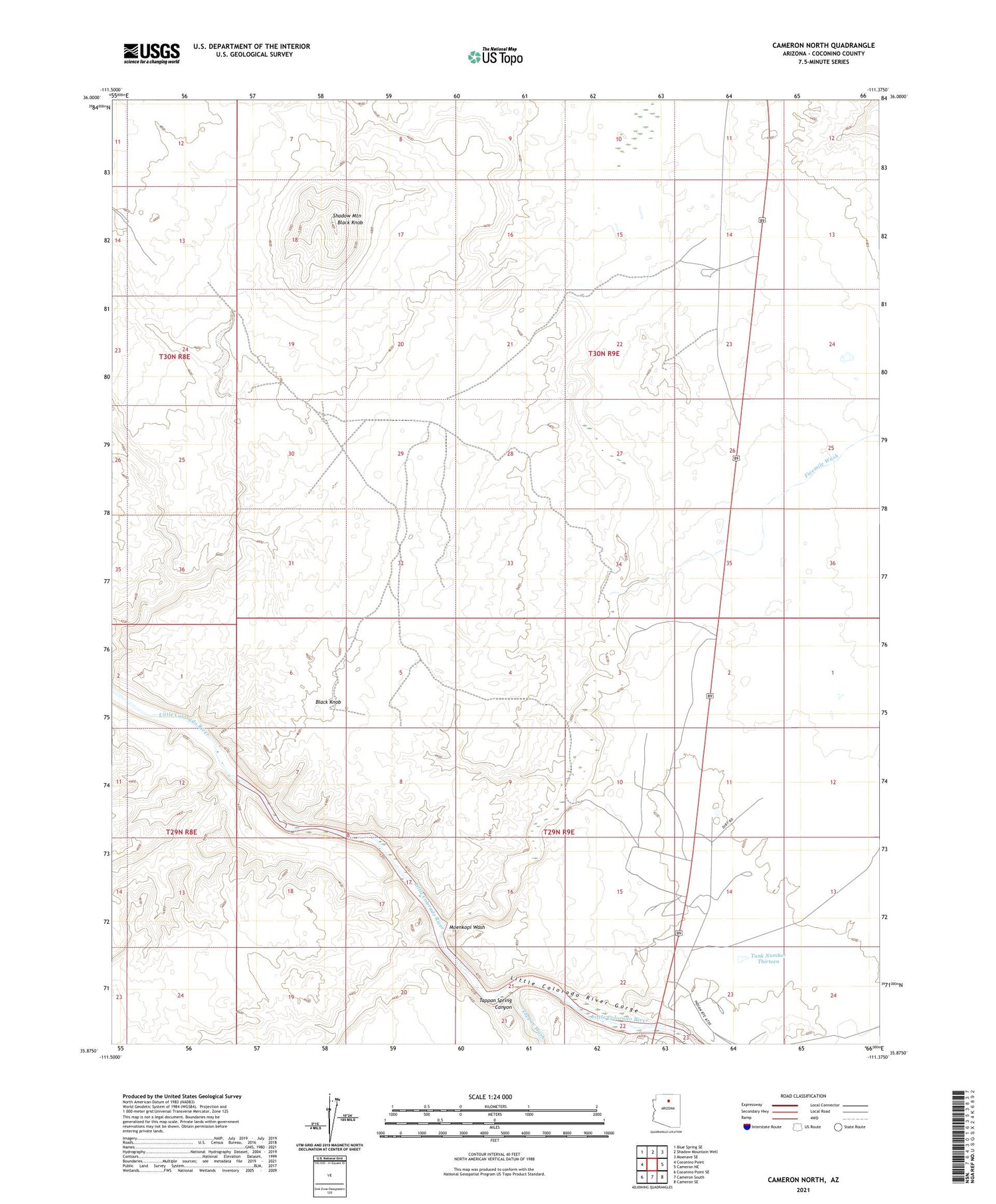
2021 topographic map quadrangle Cameron North in the state of Arizona. Scale: 1:24000. Based on the newly updated USGS 7.5' US Topo map series, this map is in the following counties: Coconino. The map contains contour data, water features, and other items you are used to seeing on USGS maps, but also has updated roads and other features. This is the next generation of topographic maps. Printed on high-quality waterproof paper with UV fade-resistant inks.
Quads adjacent to this one:
West: Coconino Point
Northwest: Blue Spring SE
North: Shadow Mountain Well
Northeast: Moenave SE
East: Cameron NE
Southeast: Cameron SE
South: Cameron South
Southwest: Coconino Point SE
This map covers the same area as the classic USGS quad with code o35111h4.
Contains the following named places: Black Knob, Cameron, Cameron Airport, Fivemile Wash, Moenkopi Wash, Shadow Mountain, Tank Number Thirteen, Tappan Spring Canyon, Tappan Wash, Tsinaabaas Habitiin Elementary School, ZIP Code: 86020