MyTopo
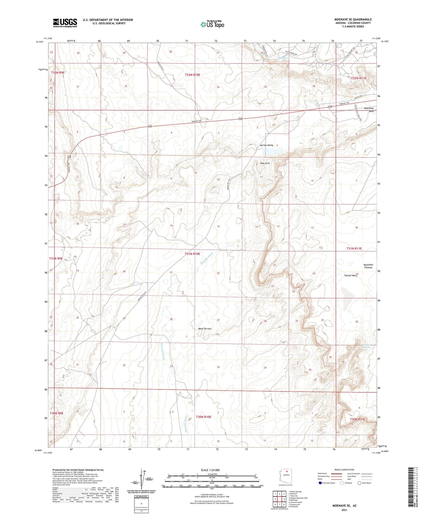
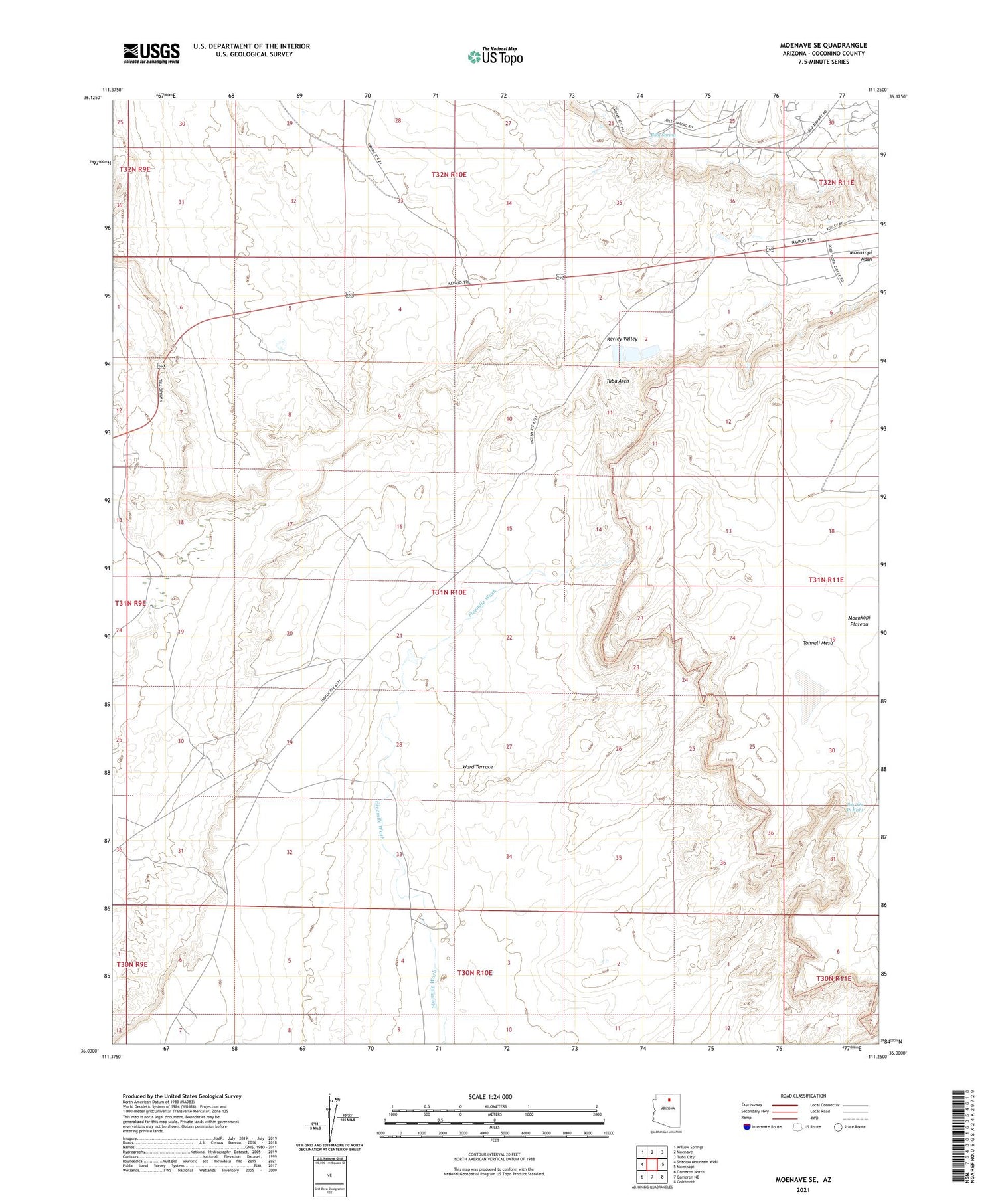
Moenave SE Arizona US Topo Map
Couldn't load pickup availability
2021 topographic map quadrangle Moenave SE in the state of Arizona. Scale: 1:24000. Based on the newly updated USGS 7.5' US Topo map series, this map is in the following counties: Coconino. The map contains contour data, water features, and other items you are used to seeing on USGS maps, but also has updated roads and other features. This is the next generation of topographic maps. Printed on high-quality waterproof paper with UV fade-resistant inks.
Quads adjacent to this one:
West: Shadow Mountain Well
Northwest: Willow Springs
North: Moenave
Northeast: Tuba City
East: Moenkopi
Southeast: Goldtooth
South: Cameron NE
Southwest: Cameron North
This map covers the same area as the classic USGS quad with code o36111a3.
Contains the following named places: Billy Spring, Dinosaur Tracks, Kerley Valley, Toh Nee Di Kishi, Tuba Arch