MyTopo
Cameron South Arizona US Topo Map
Couldn't load pickup availability
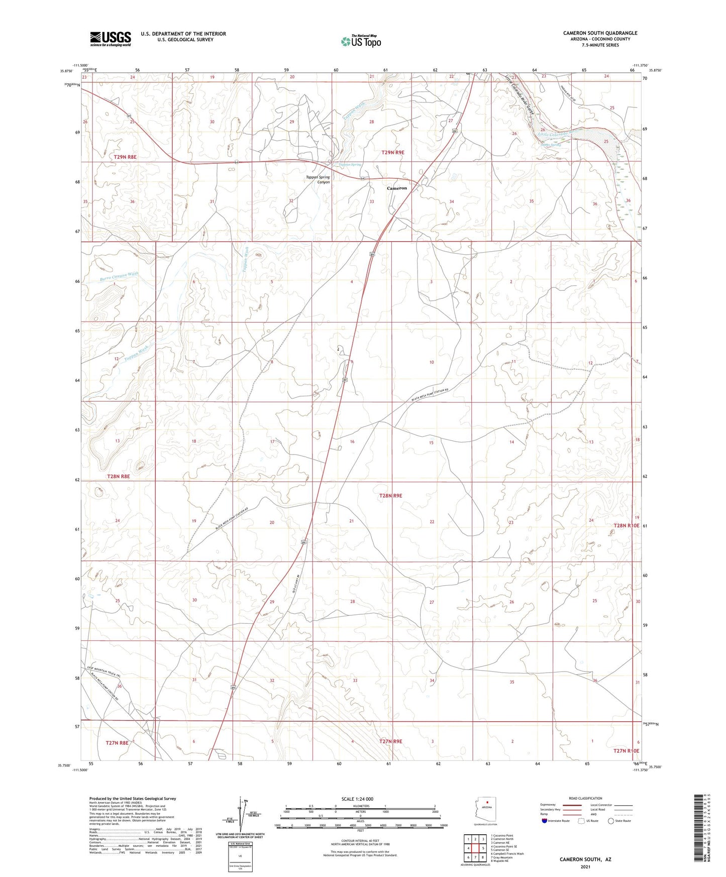
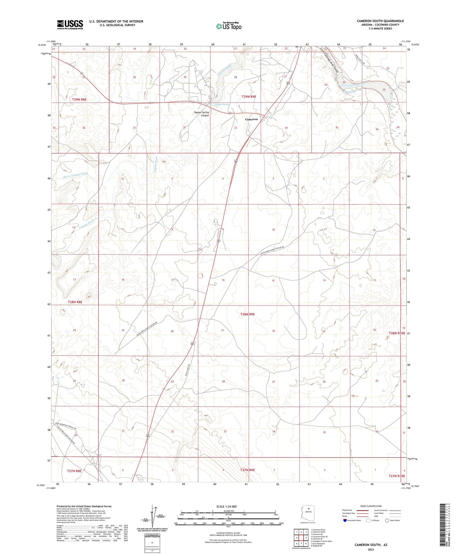
2021 topographic map quadrangle Cameron South in the state of Arizona. Scale: 1:24000. Based on the newly updated USGS 7.5' US Topo map series, this map is in the following counties: Coconino. The map contains contour data, water features, and other items you are used to seeing on USGS maps, but also has updated roads and other features. This is the next generation of topographic maps. Printed on high-quality waterproof paper with UV fade-resistant inks.
Quads adjacent to this one:
West: Coconino Point SE
Northwest: Coconino Point
North: Cameron North
Northeast: Cameron NE
East: Cameron SE
Southeast: Wupatki NE
South: Gray Mountain
Southwest: Campbell Francis Wash
This map covers the same area as the classic USGS quad with code o35111g4.
Contains the following named places: Buck Rodgers Trading Post, Burro Canyon Wash, Cameron Census Designated Place, Cameron Gauging Station, Cameron Post Office, Dzil Libei Elementary School, Gray Mountain Pumping Station, Janus Spring, Tanners Crossing, Tappan Spring, Wagon Wheel Trading Post