MyTopo
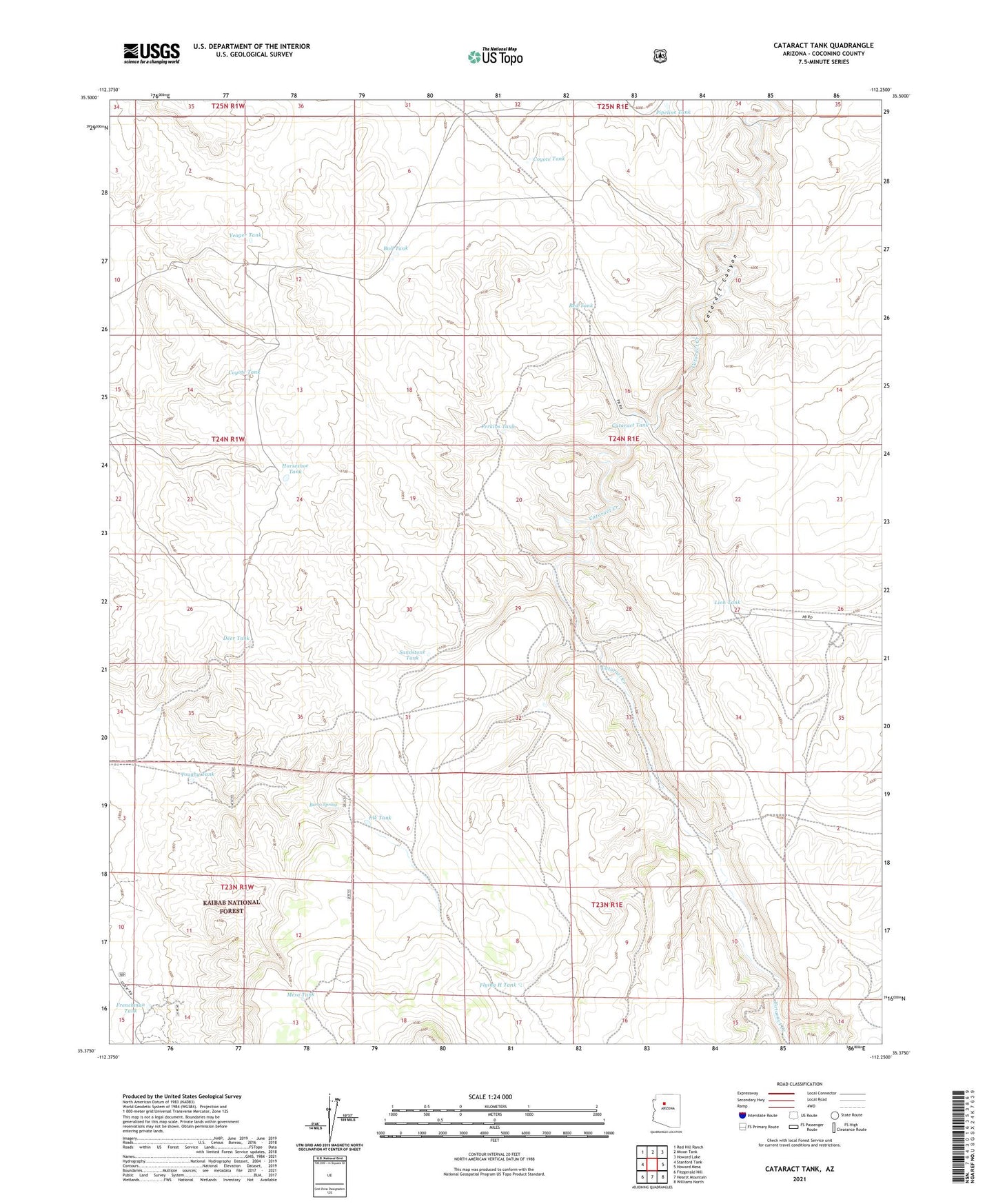
Cataract Tank Arizona US Topo Map
Couldn't load pickup availability
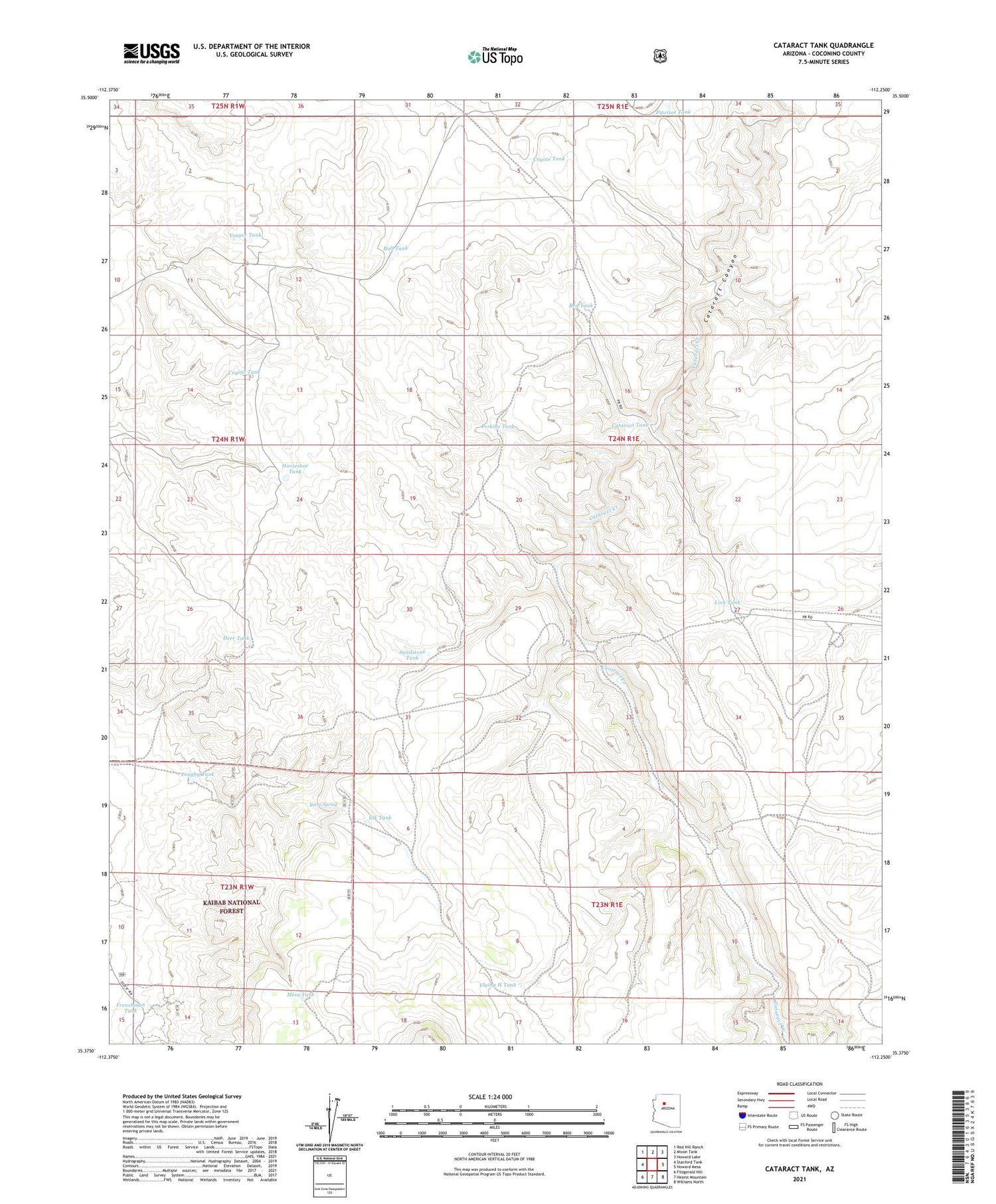
Also explore the Cataract Tank Forest Service Topo of this same quad for updated USFS data
2021 topographic map quadrangle Cataract Tank in the state of Arizona. Scale: 1:24000. Based on the newly updated USGS 7.5' US Topo map series, this map is in the following counties: Coconino. The map contains contour data, water features, and other items you are used to seeing on USGS maps, but also has updated roads and other features. This is the next generation of topographic maps. Printed on high-quality waterproof paper with UV fade-resistant inks.
Quads adjacent to this one:
West: Stanford Tank
Northwest: Red Hill Ranch
North: Mixon Tank
Northeast: Howard Lake
East: Howard Mesa
Southeast: Williams North
South: Hearst Mountain
Southwest: Fitzgerald Hill
This map covers the same area as the classic USGS quad with code o35112d3.
Contains the following named places: Bull Tank, Burro Spring, Cataract Tank, Coyote Tank, Davis Dam, Deer Tank, Elk Tank, Flying H Tank, Frenchman Tank, Horseshoe Tank, Lion Tank, Mesa Tank, Perkins Tank, Pipeline Tank, Red Tank, Robert Tank, Sandstone Tank, Toughy Tank, Yeager Tank