MyTopo
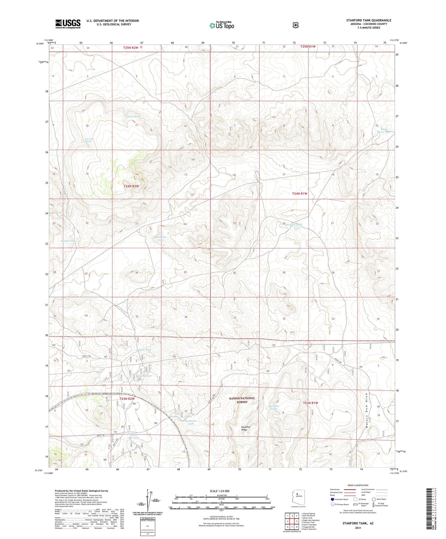
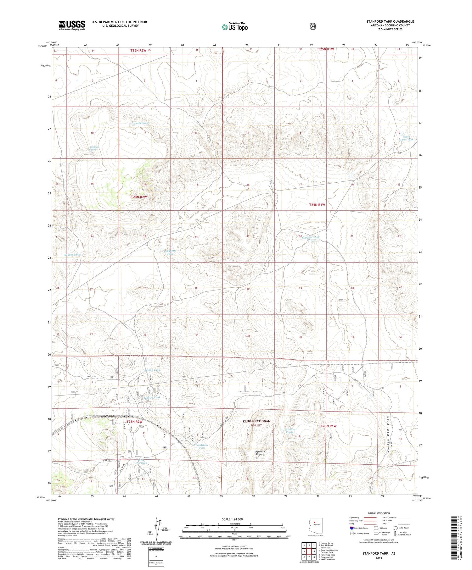
Stanford Tank Arizona US Topo Map
Couldn't load pickup availability
Also explore the Stanford Tank Forest Service Topo of this same quad for updated USFS data
2021 topographic map quadrangle Stanford Tank in the state of Arizona. Scale: 1:24000. Based on the newly updated USGS 7.5' US Topo map series, this map is in the following counties: Coconino. The map contains contour data, water features, and other items you are used to seeing on USGS maps, but also has updated roads and other features. This is the next generation of topographic maps. Printed on high-quality waterproof paper with UV fade-resistant inks.
Quads adjacent to this one:
West: Eagle Nest Mountain
Northwest: Howard Spring
North: Red Hill Ranch
Northeast: Mixon Tank
East: Cataract Tank
Southeast: Hearst Mountain
South: Fitzgerald Hill
Southwest: Horse Trap Mesa
This map covers the same area as the classic USGS quad with code o35112d4.
Contains the following named places: Aja Ranch, Antelope Tank, Apache Spring, Barney Dry Dam, Chinese Tank, Con Clair Spring, Doe Tank, Indian Tank, Jimmy Tank, Little Aso Tank, M K Tank, Martin Dam, Martin Dam Draw, Paradise Tanks, Pouquette Tank, Quarry Tank, Reneke Tank, Sandstone Tank, Stanford Tank, Tom Tank, Upper Sandstone Tank, White Horse Tank