
MyTopo
Chaiyahi Rim SE Arizona US Topo Map
Couldn't load pickup availability
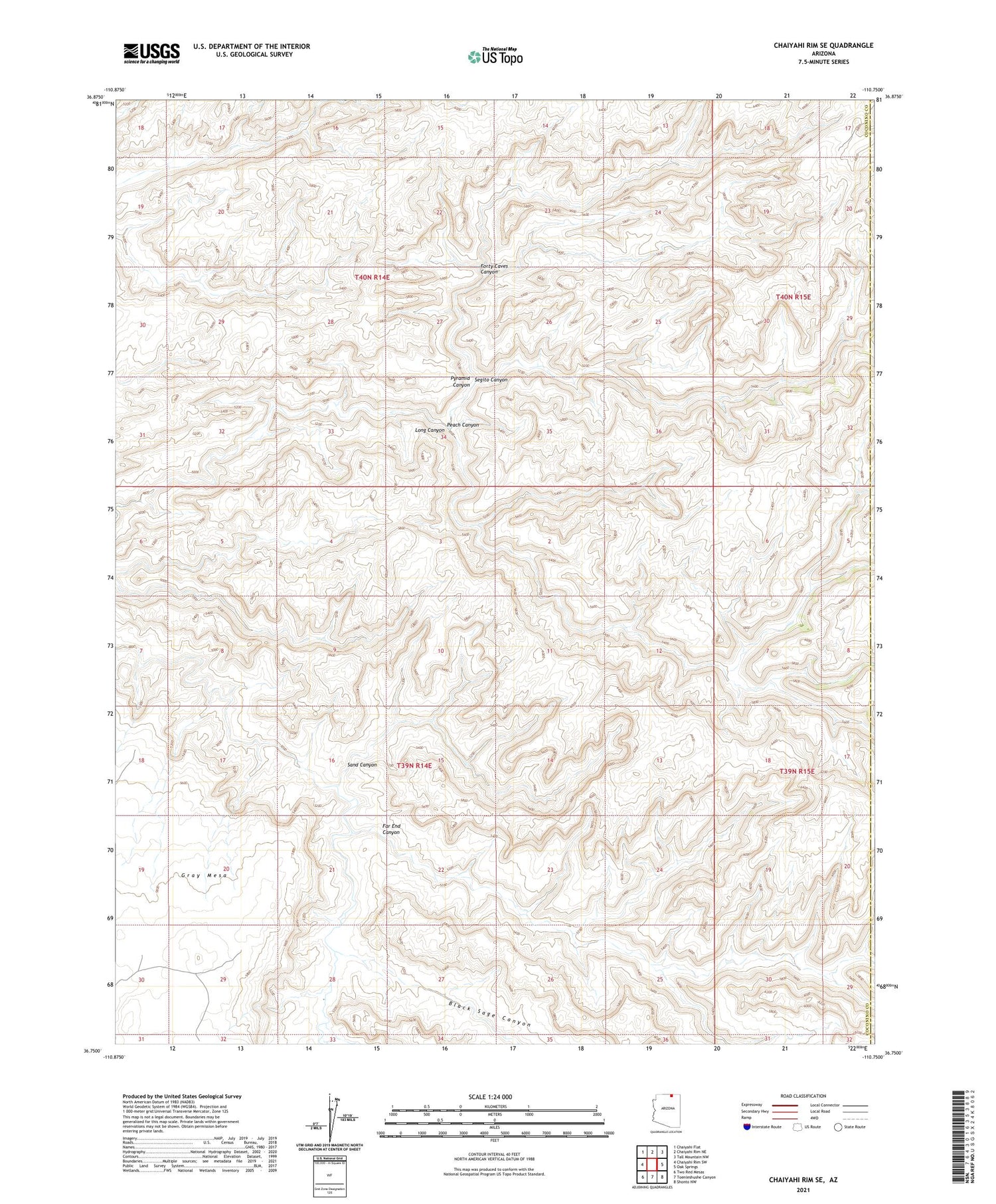
2021 topographic map quadrangle Chaiyahi Rim SE in the state of Arizona. Scale: 1:24000. Based on the newly updated USGS 7.5' US Topo map series, this map is in the following counties: Coconino, Navajo. The map contains contour data, water features, and other items you are used to seeing on USGS maps, but also has updated roads and other features. This is the next generation of topographic maps. Printed on high-quality waterproof paper with UV fade-resistant inks.
Quads adjacent to this one:
West: Chaiyahi Rim SW
Northwest: Chaiyahi Flat
North: Chaiyahi Rim NE
Northeast: Tall Mountain NW
East: Oak Springs
Southeast: Shonto NW
South: Toenleshushe Canyon
Southwest: Two Red Mesas
This map covers the same area as the classic USGS quad with code o36110g7.
Contains the following named places: Black Sage Canyon, Far End Canyon, Forty Caves Canyon, Peach Canyon, Pyramid Canyon, Sand Canyon, Segito Canyon


