MyTopo
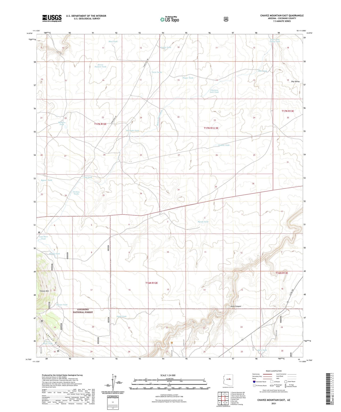
Chavez Mountain East Arizona US Topo Map
Couldn't load pickup availability
Also explore the Chavez Mountain East Forest Service Topo of this same quad for updated USFS data
2021 topographic map quadrangle Chavez Mountain East in the state of Arizona. Scale: 1:24000. Based on the newly updated USGS 7.5' US Topo map series, this map is in the following counties: Coconino. The map contains contour data, water features, and other items you are used to seeing on USGS maps, but also has updated roads and other features. This is the next generation of topographic maps. Printed on high-quality waterproof paper with UV fade-resistant inks.
Quads adjacent to this one:
West: Chavez Mountain West
Northwest: Chavez Mountain NW
North: Chavez Mountain NE
Northeast: West Sunset Mountain
East: Sunset Pass
Southeast: Hamilton Crossing
South: Quayle Hill
Southwest: Hay Lake
This map covers the same area as the classic USGS quad with code o34111g1.
Contains the following named places: Bypass Tank, Chavez Draw Tank, Chavez Mountain, Chavez Pass Ditch, Deep Well, Fourteen Inch Tank, Goslin Tank, Hart Tank, Horse Pasture Tank, Lute Hart Tank, Melbourne Dam, Melburn Tank, Mud Tank, New Tank, Pat Duke Tank, Perkins Tanks, Pieper Tank, Pollack Tank, Pyeatt Tank, Red Tank, Service Tank, Small Tank, State Antelope Trap, Twin Tanks, Upper Dog Valley Tank, Windy Tank