MyTopo
Chavez Mountain NE Arizona US Topo Map
Couldn't load pickup availability
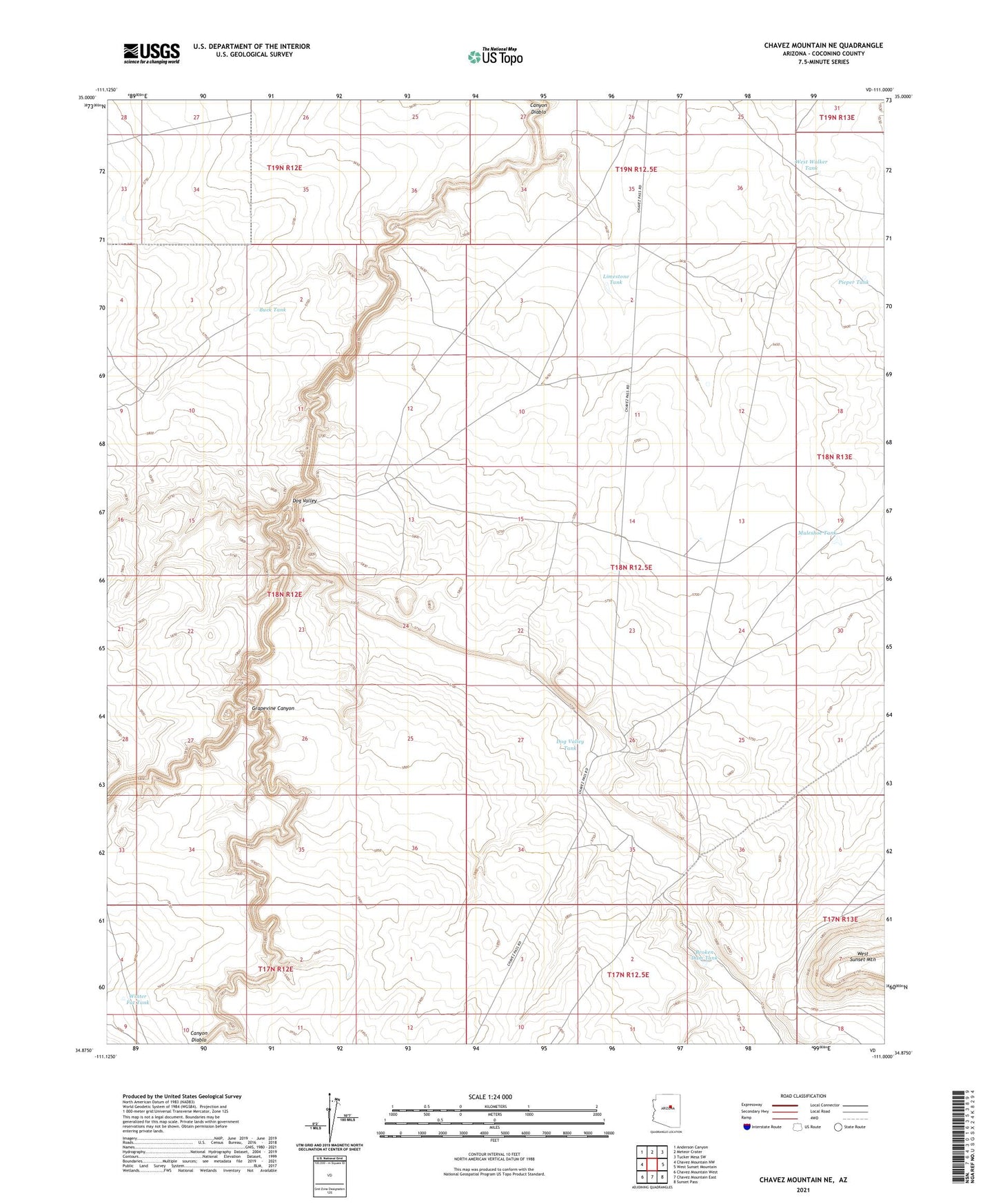
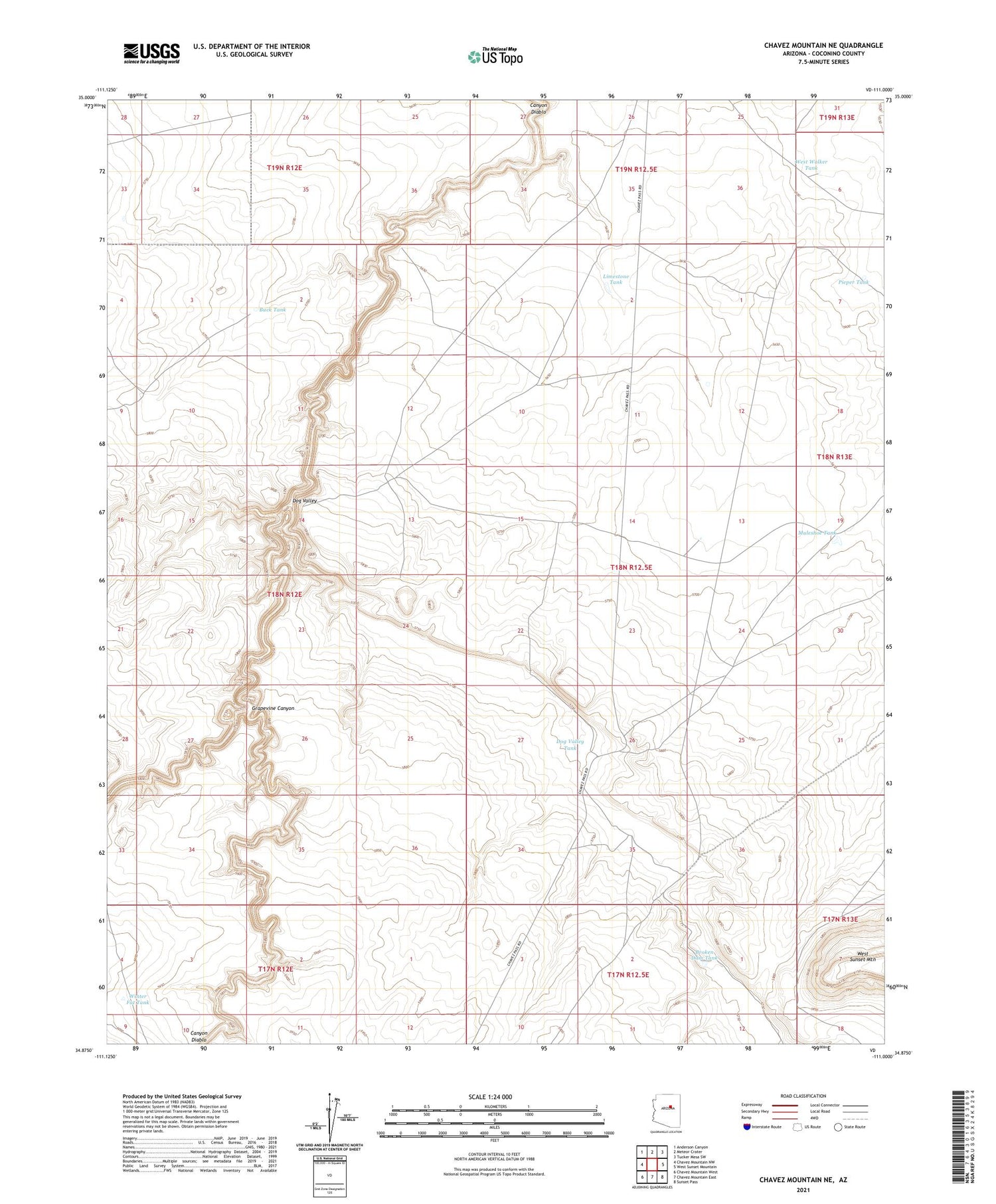
2021 topographic map quadrangle Chavez Mountain NE in the state of Arizona. Scale: 1:24000. Based on the newly updated USGS 7.5' US Topo map series, this map is in the following counties: Coconino. The map contains contour data, water features, and other items you are used to seeing on USGS maps, but also has updated roads and other features. This is the next generation of topographic maps. Printed on high-quality waterproof paper with UV fade-resistant inks.
Quads adjacent to this one:
West: Chavez Mountain NW
Northwest: Anderson Canyon
North: Meteor Crater
Northeast: Tucker Mesa SW
East: West Sunset Mountain
Southeast: Sunset Pass
South: Chavez Mountain East
Southwest: Chavez Mountain West
This map covers the same area as the classic USGS quad with code o34111h1.
Contains the following named places: Broken Dam Tank, Buck Tank, Dog Valley, Dog Valley Tank, Dog Valley Well, Grapevine Canyon, Limestone Tank, Muleshoe Tank, Pieper Tank, West Walker Tank, Winter Fat Tank, Wolflok Well