
MyTopo
Chimney Canyon Arizona US Topo Map
Couldn't load pickup availability
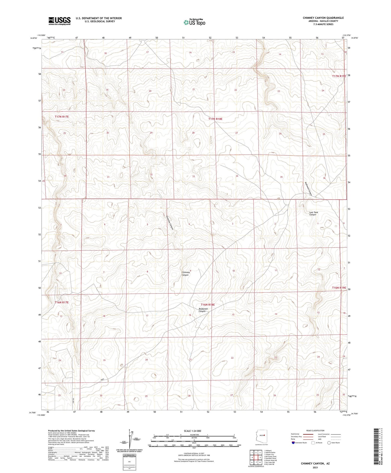
2021 topographic map quadrangle Chimney Canyon in the state of Arizona. Scale: 1:24000. Based on the newly updated USGS 7.5' US Topo map series, this map is in the following counties: Navajo. The map contains contour data, water features, and other items you are used to seeing on USGS maps, but also has updated roads and other features. This is the next generation of topographic maps. Printed on high-quality waterproof paper with UV fade-resistant inks.
Quads adjacent to this one:
West: McCauley Sinks
Northwest: Hibbard
North: Apache Butte
Northeast: Joseph City
East: Saunders Draw
Southeast: Dry Lake NE
South: Dry Lake NW
Southwest: Potato Wash NE
This map covers the same area as the classic USGS quad with code o34110g4.
Contains the following named places: Chamise Tank, East Fork Tank, Lost Tank Canyon, Small Tank


