MyTopo
Hibbard Arizona US Topo Map
Couldn't load pickup availability
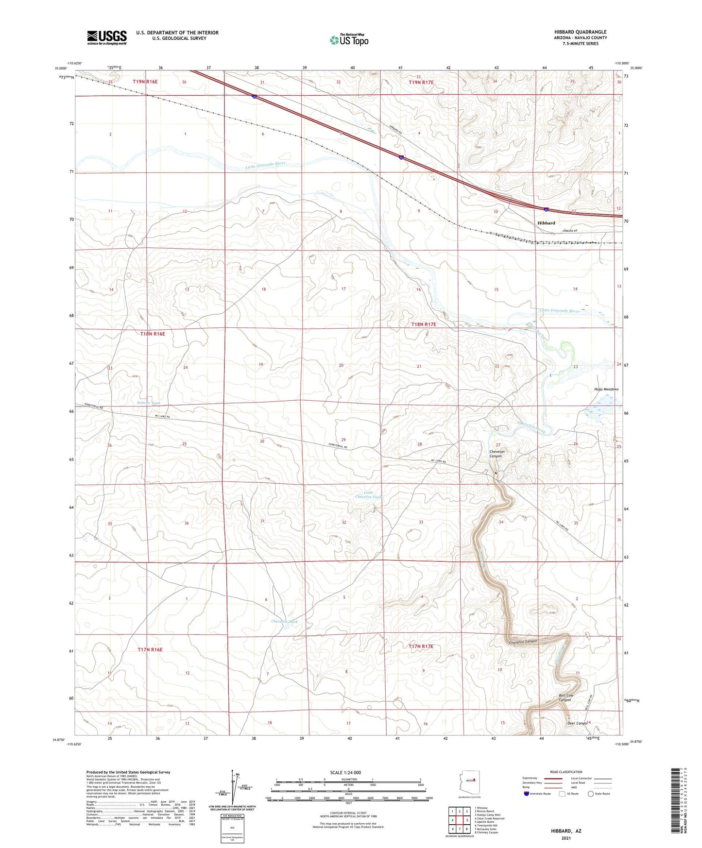
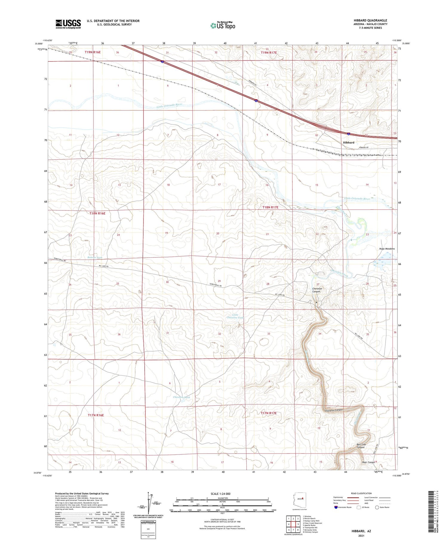
2021 topographic map quadrangle Hibbard in the state of Arizona. Scale: 1:24000. Based on the newly updated USGS 7.5' US Topo map series, this map is in the following counties: Navajo. The map contains contour data, water features, and other items you are used to seeing on USGS maps, but also has updated roads and other features. This is the next generation of topographic maps. Printed on high-quality waterproof paper with UV fade-resistant inks.
Quads adjacent to this one:
West: Clear Creek Reservoir
Northwest: Winslow
North: Rincon Ranch
Northeast: Humpy Camp Well
East: Apache Butte
Southeast: Chimney Canyon
South: McCauley Sinks
Southwest: Twentymile Hill
This map covers the same area as the classic USGS quad with code o34110h5.
Contains the following named places: Aja Ranch, Bell Cow Canyon, Bottom Tank, Chevelon Canyon, Chevelon Creek, Chevelon Tank, Deer Canyon, Hibbard, Little Chevelon Tank