MyTopo
Cibola Arizona US Topo Map
Couldn't load pickup availability
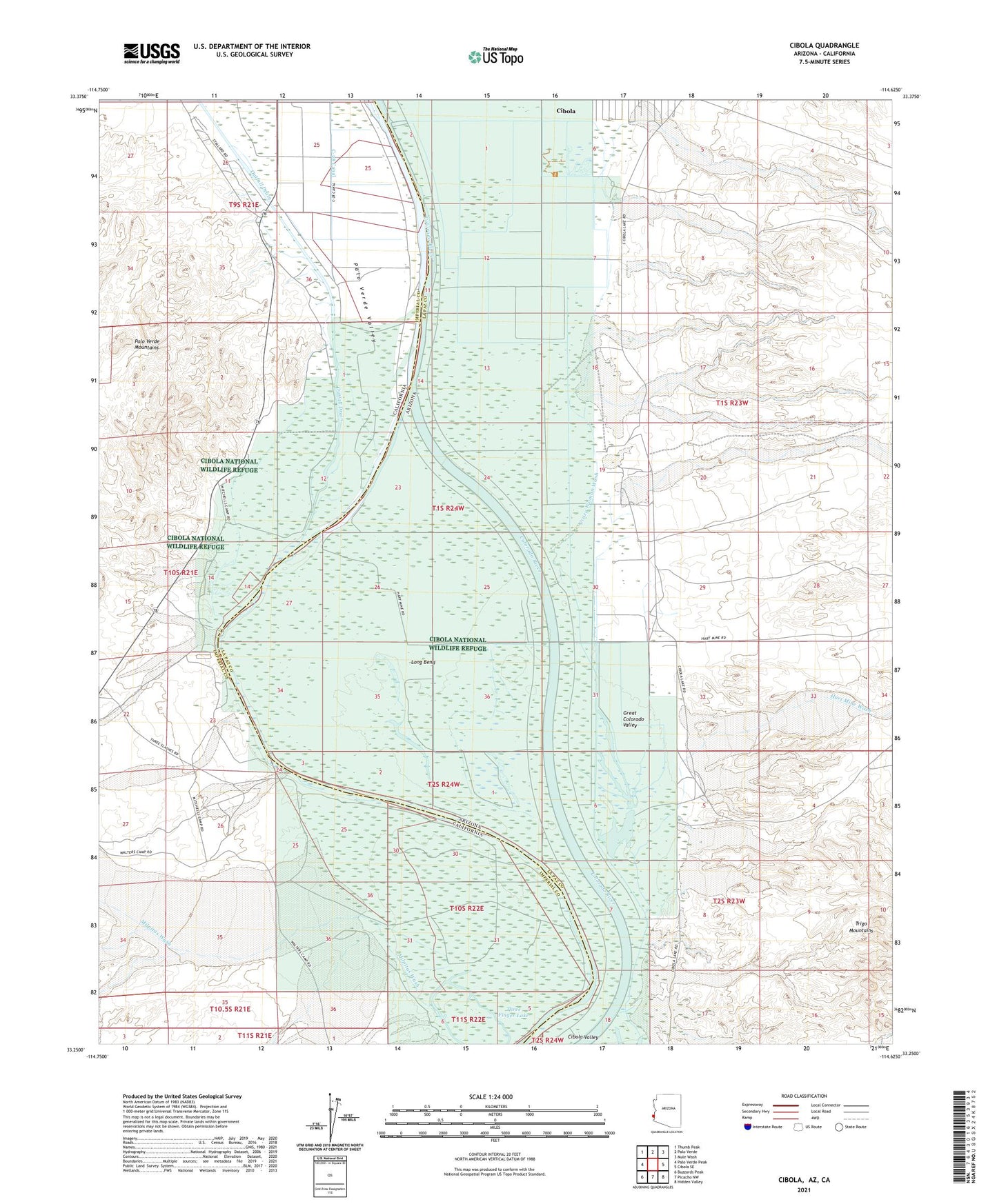
2021 topographic map quadrangle Cibola in the states of Arizona, California. Scale: 1:24000. Based on the newly updated USGS 7.5' US Topo map series, this map is in the following counties: La Paz, Imperial. The map contains contour data, water features, and other items you are used to seeing on USGS maps, but also has updated roads and other features. This is the next generation of topographic maps. Printed on high-quality waterproof paper with UV fade-resistant inks.
Quads adjacent to this one:
West: Palo Verde Peak
Northwest: Thumb Peak
North: Palo Verde
Northeast: Mule Wash
East: Cibola SE
Southeast: Hidden Valley
South: Picacho NW
Southwest: Buzzards Peak
Contains the following named places: Cibola, Cibola Census Designated Place, Cibola National Wildlife Refuge, Davis Lake, Great Colorado Valley, Hart Mine Wash, Long Bend, Milpitas Wash, Outfall Drain, Palo Verde Valley, Three Finger Lake