MyTopo
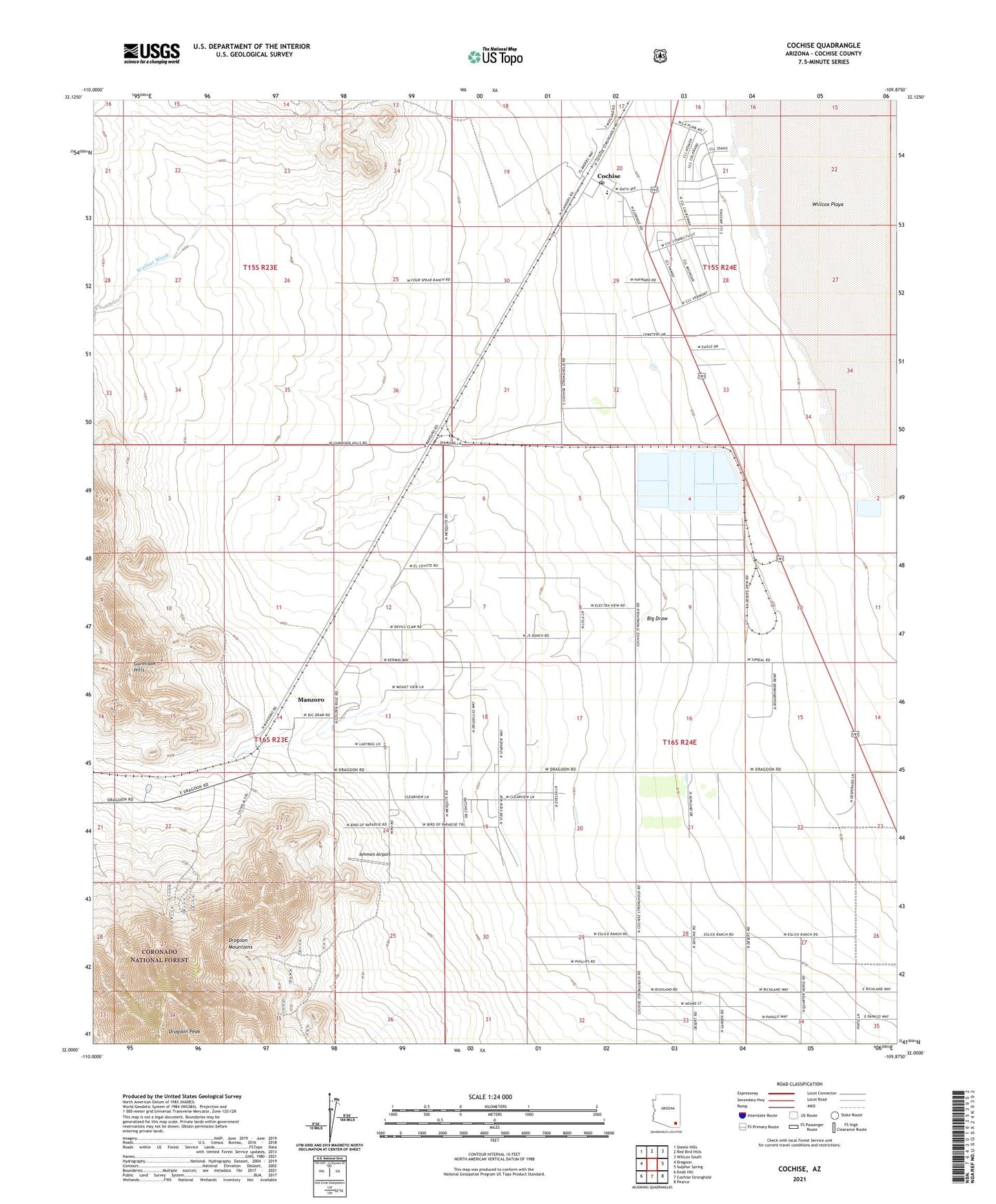
Cochise Arizona US Topo Map
Couldn't load pickup availability
Also explore the Cochise Forest Service Topo of this same quad for updated USFS data
2021 topographic map quadrangle Cochise in the state of Arizona. Scale: 1:24000. Based on the newly updated USGS 7.5' US Topo map series, this map is in the following counties: Cochise. The map contains contour data, water features, and other items you are used to seeing on USGS maps, but also has updated roads and other features. This is the next generation of topographic maps. Printed on high-quality waterproof paper with UV fade-resistant inks.
Quads adjacent to this one:
West: Dragoon
Northwest: Steele Hills
North: Red Bird Hills
Northeast: Willcox South
East: Sulphur Spring
Southeast: Pearce
South: Cochise Stronghold
Southwest: Knob Hill
This map covers the same area as the classic USGS quad with code o32109a8.
Contains the following named places: Ammon Airport, Big Draw, Cochise, Cochise Elementary School, Cochise Post Office, Cochise Power Plant, Dragoon Peak, Dragoon Railroad Station, Golden Rule Mine, Manzoro, Walnut Wash, ZIP Code: 85606