MyTopo
E C P Peak Arizona US Topo Map
Couldn't load pickup availability
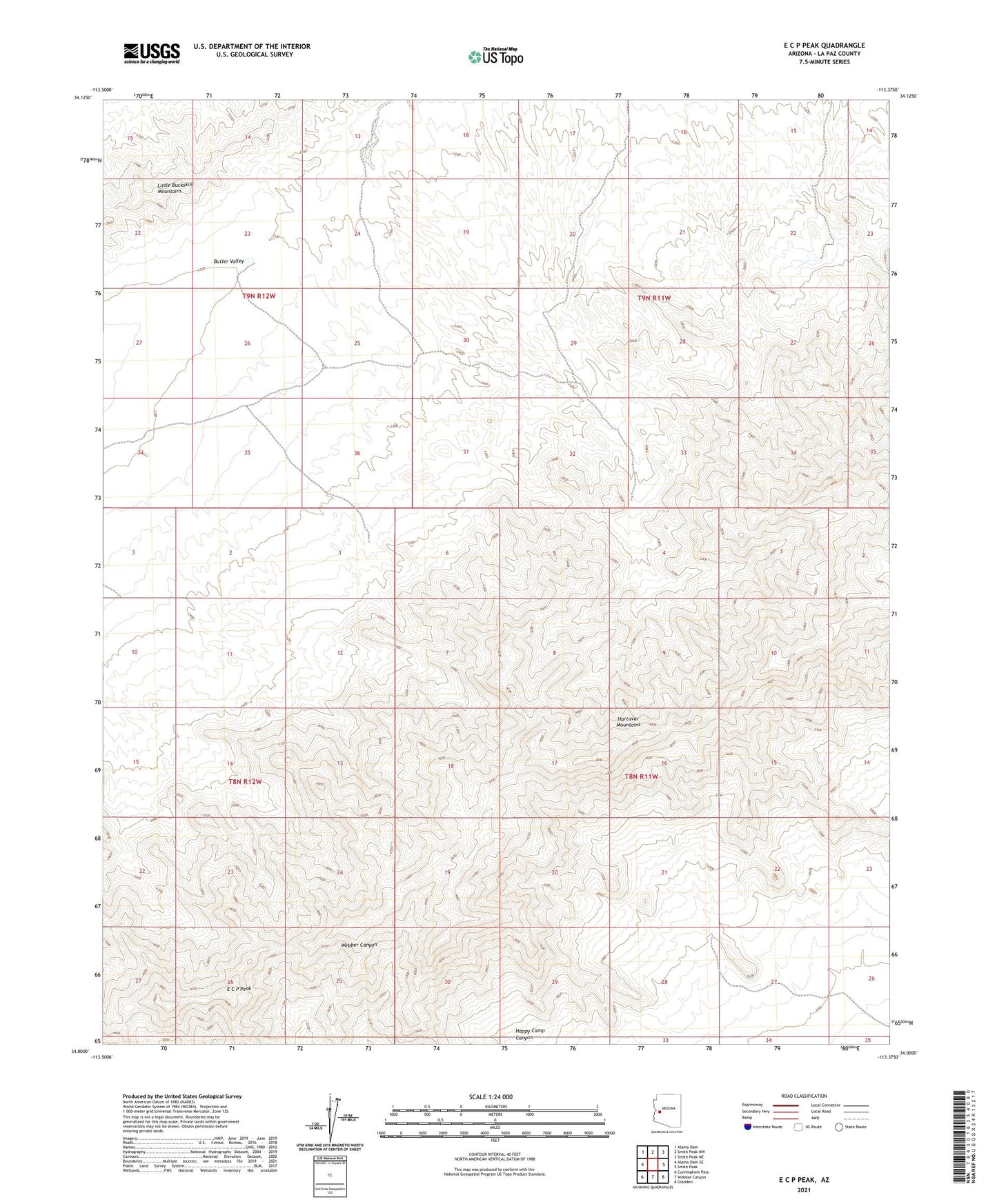
2021 topographic map quadrangle E C P Peak in the state of Arizona. Scale: 1:24000. Based on the newly updated USGS 7.5' US Topo map series, this map is in the following counties: La Paz. The map contains contour data, water features, and other items you are used to seeing on USGS maps, but also has updated roads and other features. This is the next generation of topographic maps. Printed on high-quality waterproof paper with UV fade-resistant inks.
Quads adjacent to this one:
West: Alamo Dam SE
Northwest: Alamo Dam
North: Smith Peak NW
Northeast: Smith Peak NE
East: Smith Peak
Southeast: Gladden
South: Webber Canyon
Southwest: Cunningham Pass
This map covers the same area as the classic USGS quad with code o34113a4.
Contains the following named places: Burnt Well, E C P Peak, Happy Camp Canyon, Harcuvar Mountains Wilderness, Little Buckskin Mountains, Webber Mine, ZIP Code: 85357