MyTopo
Smith Peak NW Arizona US Topo Map
Couldn't load pickup availability
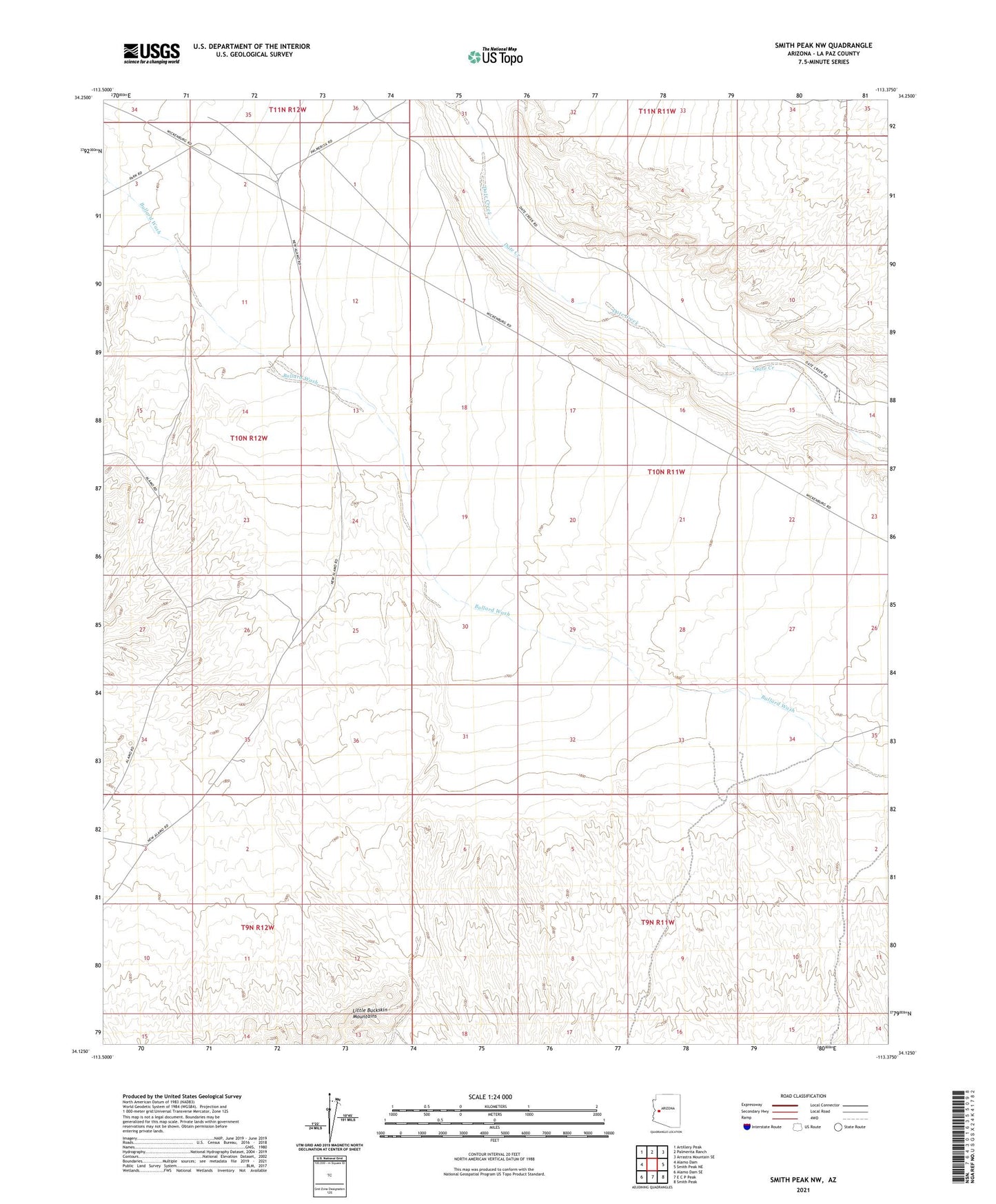
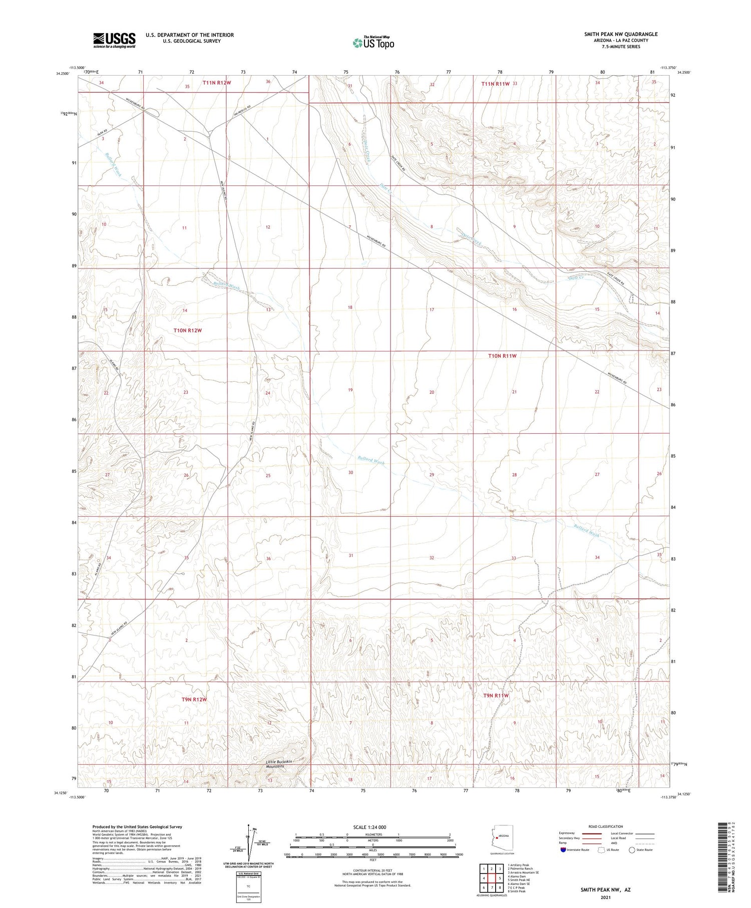
2021 topographic map quadrangle Smith Peak NW in the state of Arizona. Scale: 1:24000. Based on the newly updated USGS 7.5' US Topo map series, this map is in the following counties: La Paz. The map contains contour data, water features, and other items you are used to seeing on USGS maps, but also has updated roads and other features. This is the next generation of topographic maps. Printed on high-quality waterproof paper with UV fade-resistant inks.
Quads adjacent to this one:
West: Alamo Dam
Northwest: Artillery Peak
North: Palmerita Ranch
Northeast: Arrastra Mountain SE
East: Smith Peak NE
Southeast: Smith Peak
South: E C P Peak
Southwest: Alamo Dam SE
This map covers the same area as the classic USGS quad with code o34113b4.
Contains the following named places: East Well, Webber Well