
MyTopo
Fisher Hills Arizona US Topo Map
Couldn't load pickup availability
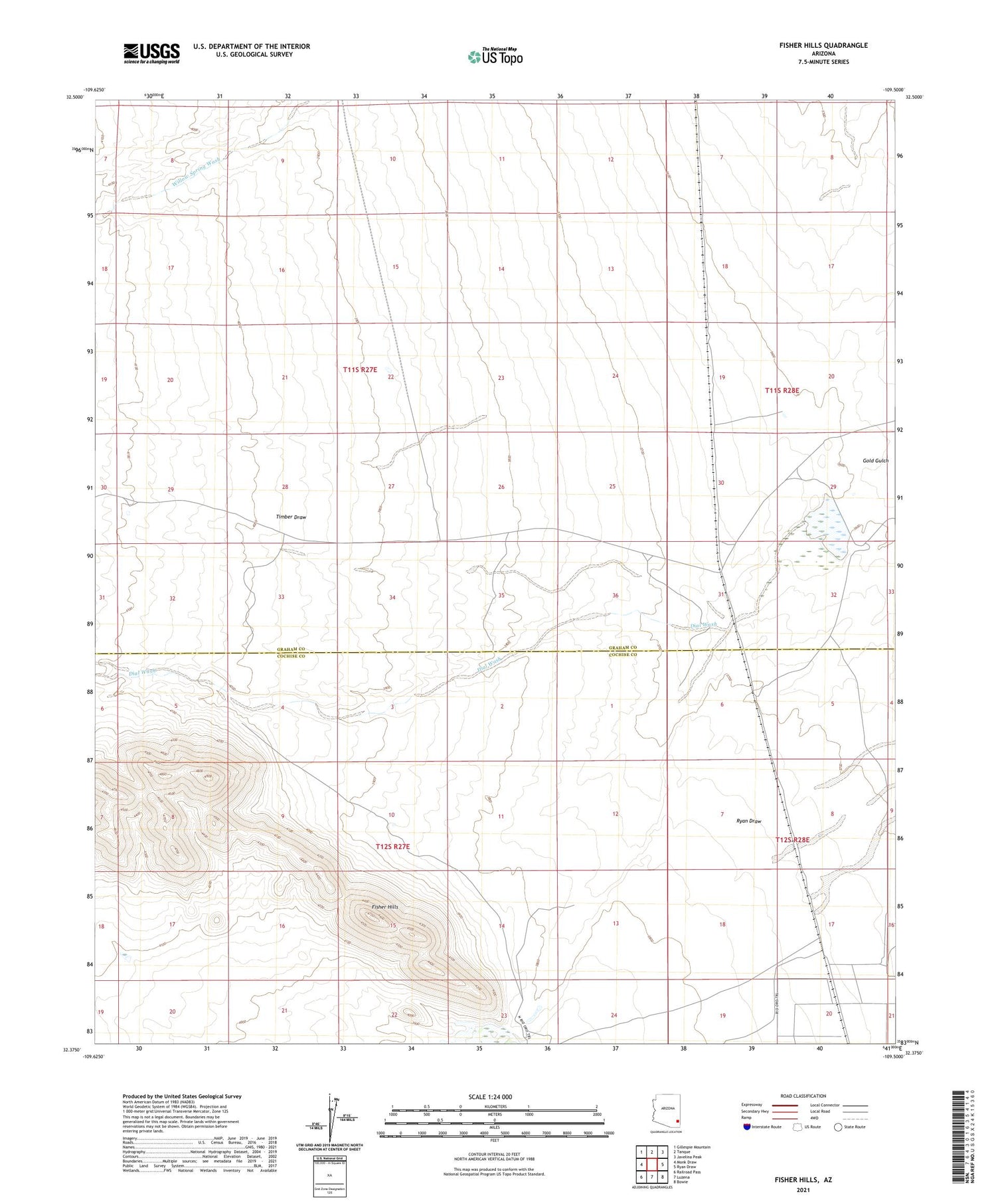
2021 topographic map quadrangle Fisher Hills in the state of Arizona. Scale: 1:24000. Based on the newly updated USGS 7.5' US Topo map series, this map is in the following counties: Cochise, Graham. The map contains contour data, water features, and other items you are used to seeing on USGS maps, but also has updated roads and other features. This is the next generation of topographic maps. Printed on high-quality waterproof paper with UV fade-resistant inks.
Quads adjacent to this one:
West: Monk Draw
Northwest: Gillespie Mountain
North: Tanque
Northeast: Javelina Peak
East: Ryan Draw
Southeast: Bowie
South: Luzena
Southwest: Railroad Pass
This map covers the same area as the classic USGS quad with code o32109d5.
Contains the following named places: Creighton Dam, Creighton Reservoir, Dial Wash, Fisher Hills, H X Dam


