MyTopo
Flattop Hill Arizona US Topo Map
Couldn't load pickup availability
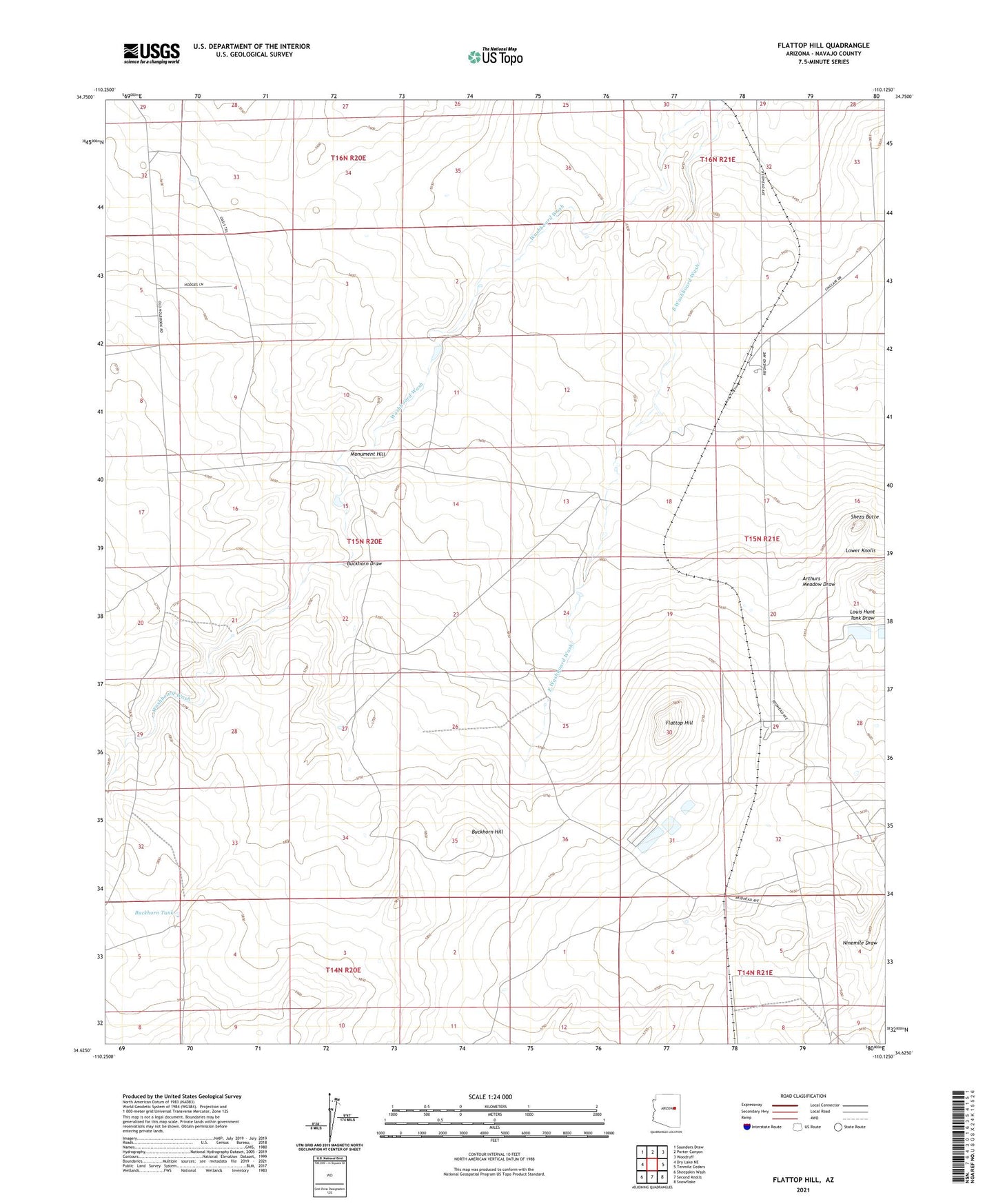
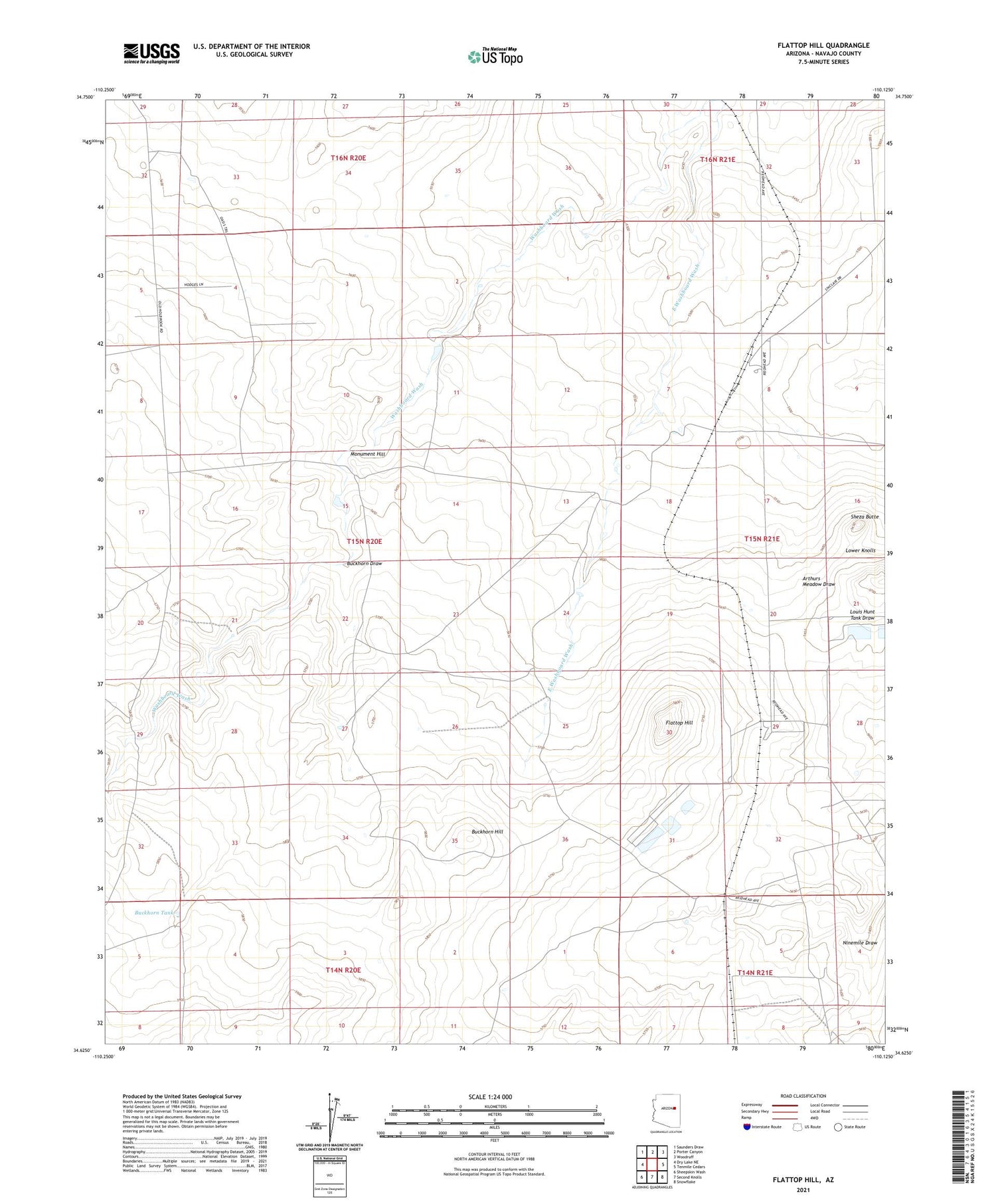
2021 topographic map quadrangle Flattop Hill in the state of Arizona. Scale: 1:24000. Based on the newly updated USGS 7.5' US Topo map series, this map is in the following counties: Navajo. The map contains contour data, water features, and other items you are used to seeing on USGS maps, but also has updated roads and other features. This is the next generation of topographic maps. Printed on high-quality waterproof paper with UV fade-resistant inks.
Quads adjacent to this one:
West: Dry Lake NE
Northwest: Saunders Draw
North: Porter Canyon
Northeast: Woodruff
East: Tenmile Cedars
Southeast: Snowflake
South: Second Knolls
Southwest: Sheepskin Wash
This map covers the same area as the classic USGS quad with code o34110f2.
Contains the following named places: Buckhorn Draw, Buckhorn Hill, Buckhorn Tank, Flattop Hill, Flattop Windmill, Halfway Ranch, Monument Hill, Ninemile Draw, Sheza Butte