MyTopo
Snowflake Arizona US Topo Map
Couldn't load pickup availability
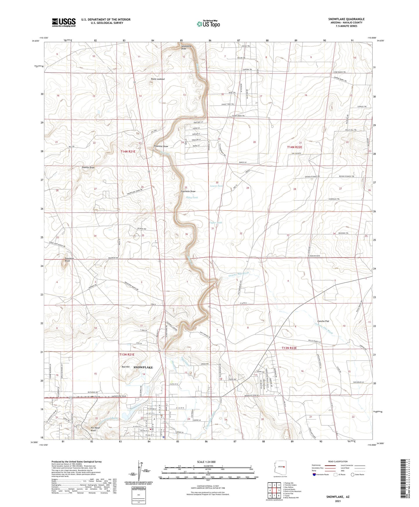
2021 topographic map quadrangle Snowflake in the state of Arizona. Scale: 1:24000. Based on the newly updated USGS 7.5' US Topo map series, this map is in the following counties: Navajo. The map contains contour data, water features, and other items you are used to seeing on USGS maps, but also has updated roads and other features. This is the next generation of topographic maps. Printed on high-quality waterproof paper with UV fade-resistant inks.
Quads adjacent to this one:
West: Second Knolls
Northwest: Flattop Hill
North: Tenmile Cedars
Northeast: Hay Hollow
East: Point of the Mountain
Southeast: Mesa Redonda NW
South: Taylor
Southwest: Cactus Flat
This map covers the same area as the classic USGS quad with code o34110e1.
Contains the following named places: Carriage House on West Garden Lane Assisted Living Center, Concho Flat, Concho Flat Wash, Cottonwood Wash, East Snowflake Ditch, Fivemile Draw, Fourmile Draw, Fourmile Knoll, Highland Primary School, Lower Tank, North Well, Partnership Well, Pin Head Knoll, Point Lookout, Red Hill, Riley Tank, Sevenmile Dam, Sevenmile Draw, Silver Creek Community Bible Church, Sixmile Draw, Snowflake, Snowflake - Taylor Police Department, Snowflake - Taylor Public Library, Snowflake Elementary School, Snowflake Fire Department, Snowflake High School, Snowflake Intermediate School, Snowflake Municipal Airport, Snowflake Municipal Golf Course, The Box of Sevenmile, The Canal, The Church of Jesus Christ of Latter Day Saints, Town of Snowflake, Town of Snowflake Wastewater Treatment Plant, Upper Tank, Valley View Southern Baptist Church, West Snowflake Ditch, ZIP Code: 85937


