MyTopo
Fort Grant Arizona US Topo Map
Couldn't load pickup availability
Also explore the Fort Grant Forest Service Topo of this same quad for updated USFS data
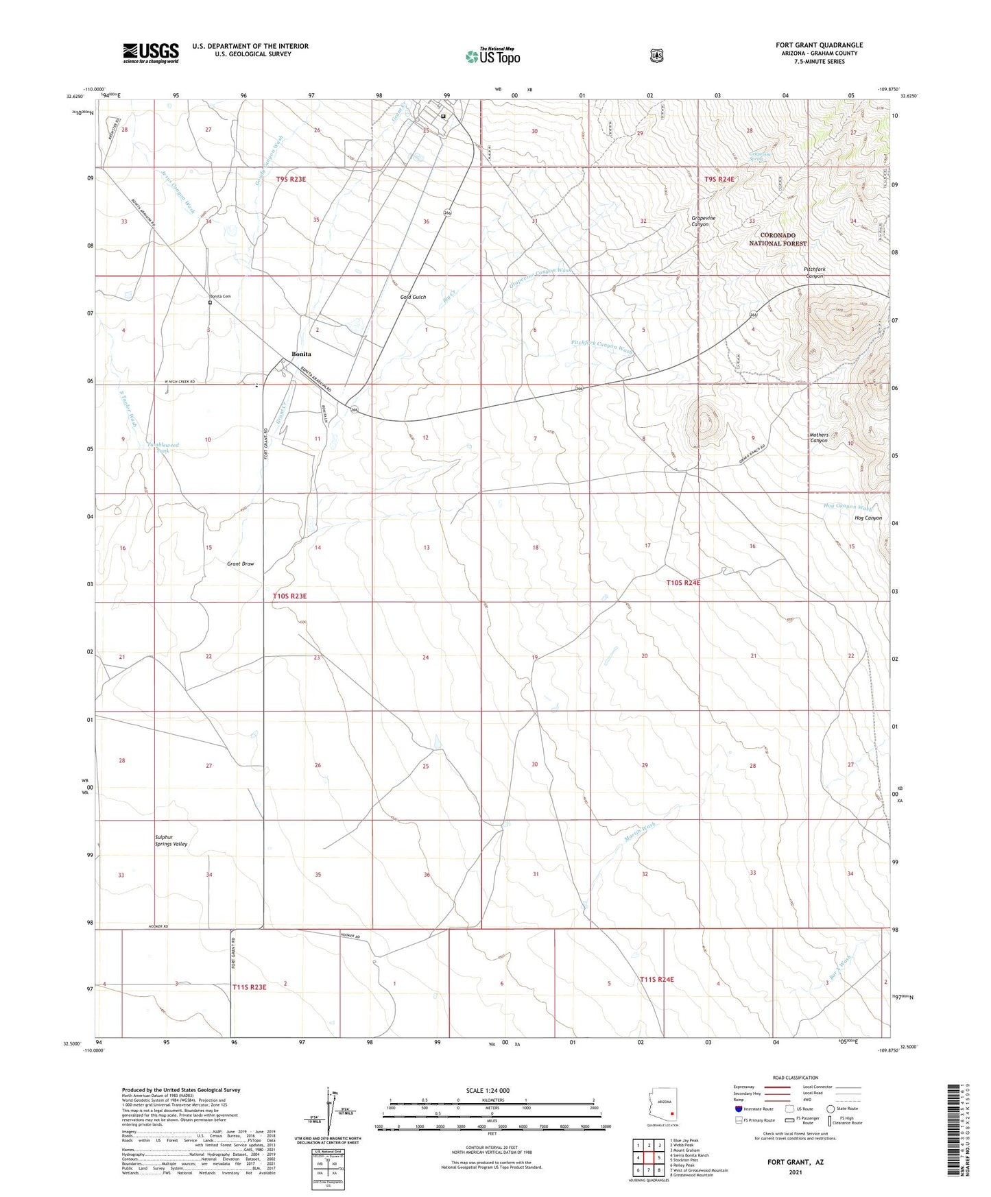
2021 topographic map quadrangle Fort Grant in the state of Arizona. Scale: 1:24000. Based on the newly updated USGS 7.5' US Topo map series, this map is in the following counties: Graham. The map contains contour data, water features, and other items you are used to seeing on USGS maps, but also has updated roads and other features. This is the next generation of topographic maps. Printed on high-quality waterproof paper with UV fade-resistant inks.
Quads adjacent to this one:
West: Sierra Bonita Ranch
Northwest: Blue Jay Peak
North: Webb Peak
Northeast: Mount Graham
East: Stockton Pass
Southeast: Greasewood Mountain
South: West of Greasewood Mountain
Southwest: Reiley Peak
This map covers the same area as the classic USGS quad with code o32109e8.
Contains the following named places: Angel Field, Arizona Department of Corrections - Fort Grant Unit, Big Creek, Bonita, Bonita Elementary School, Boone Well, Estes Ranch, Fort Grant, Fort Grant State Industrial School, Gold Gulch, Gold Gulch Corral, Goudy Canyon Wash, Grant Creek, Grapevine Canyon, Grapevine Canyon Wash, Grapevine Spring, Hog Canyon, Hog Canyon Wash, Jesus Canyon Wash, Martin Wash, Martin Well, Mills Ranch, Mothers Canyon, Pitchfork Canyon, Pitchfork Canyon Wash, South Taylor Wash, Tumbleweed Tank