MyTopo
Hat Knoll Arizona US Topo Map
Couldn't load pickup availability
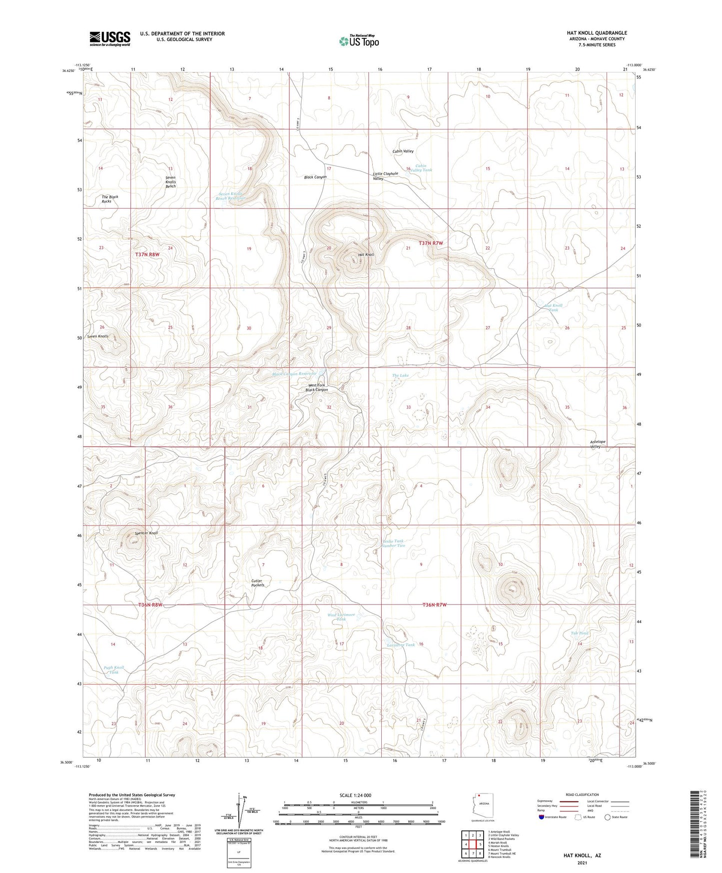
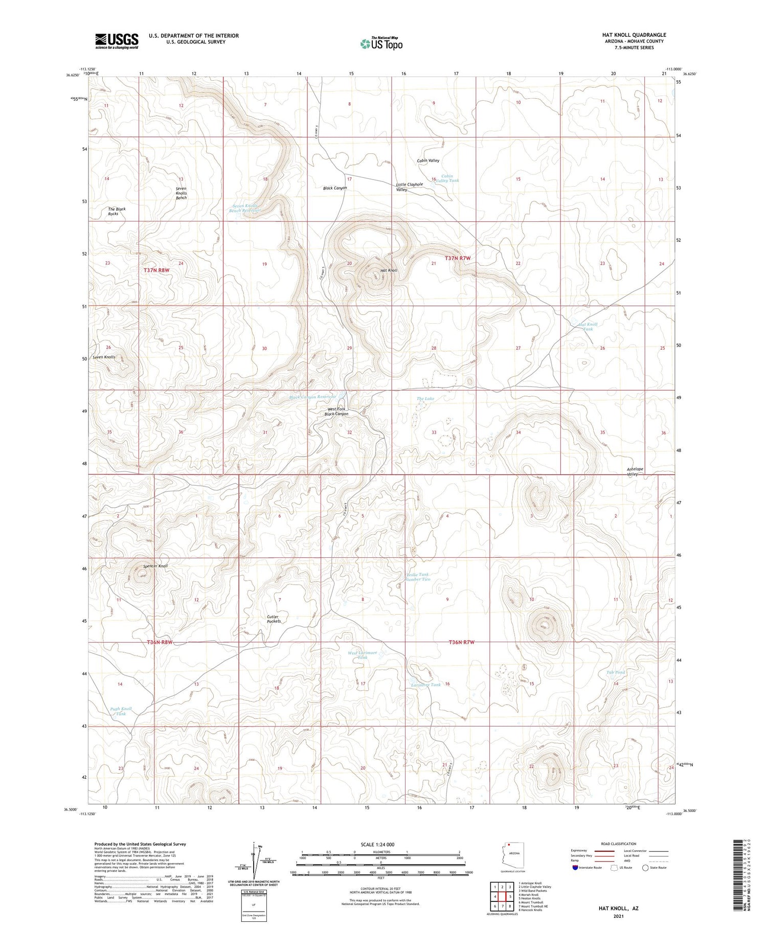
2021 topographic map quadrangle Hat Knoll in the state of Arizona. Scale: 1:24000. Based on the newly updated USGS 7.5' US Topo map series, this map is in the following counties: Mohave. The map contains contour data, water features, and other items you are used to seeing on USGS maps, but also has updated roads and other features. This is the next generation of topographic maps. Printed on high-quality waterproof paper with UV fade-resistant inks.
Quads adjacent to this one:
West: Moriah Knoll
Northwest: Antelope Knoll
North: Little Clayhole Valley
Northeast: Wild Band Pockets
East: Heaton Knolls
Southeast: Hancock Knolls
South: Mount Trumbull NE
Southwest: Mount Trumbull
This map covers the same area as the classic USGS quad with code o36113e1.
Contains the following named places: Black Canyon, Black Canyon Reservoir, Cabin Valley, Cabin Valley Tank, Cutler Pockets, Hat Knoll, Hat Knoll Tank, Larimore Tank, Leslie Tank Number Two, Pugh Knoll Tank, Seven Knolls Bench, Seven Knolls Bench Reservoir, Spencer Knoll, The Lake, Tub Pond, West Fork Black Canyon, West Larimore Tank