
MyTopo
Wild Band Pockets Arizona US Topo Map
Couldn't load pickup availability
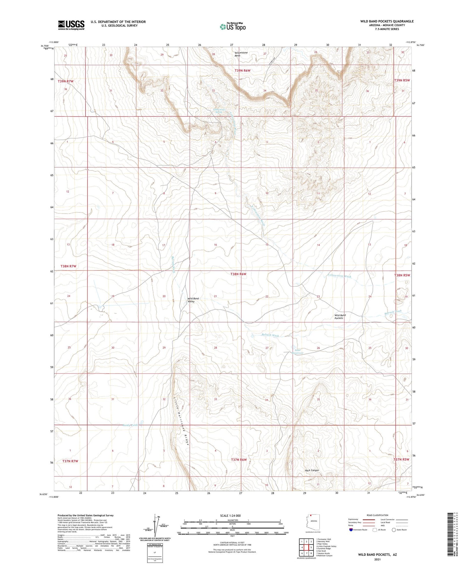
2021 topographic map quadrangle Wild Band Pockets in the state of Arizona. Scale: 1:24000. Based on the newly updated USGS 7.5' US Topo map series, this map is in the following counties: Mohave. The map contains contour data, water features, and other items you are used to seeing on USGS maps, but also has updated roads and other features. This is the next generation of topographic maps. Printed on high-quality waterproof paper with UV fade-resistant inks.
Quads adjacent to this one:
West: Little Clayhole Valley
Northwest: Formaster Well
North: Maroney Well
Northeast: Pipe Valley
East: Sunshine Ridge
Southeast: Robinson Canyon
South: Heaton Knolls
Southwest: Hat Knoll
This map covers the same area as the classic USGS quad with code o36112f8.
Contains the following named places: Bundy Ponds, Sims Reservoir, Wild Band Pockets, Yellowstone Spring, Yellowstone Wash


