
MyTopo
Antelope Knoll Arizona US Topo Map
Couldn't load pickup availability
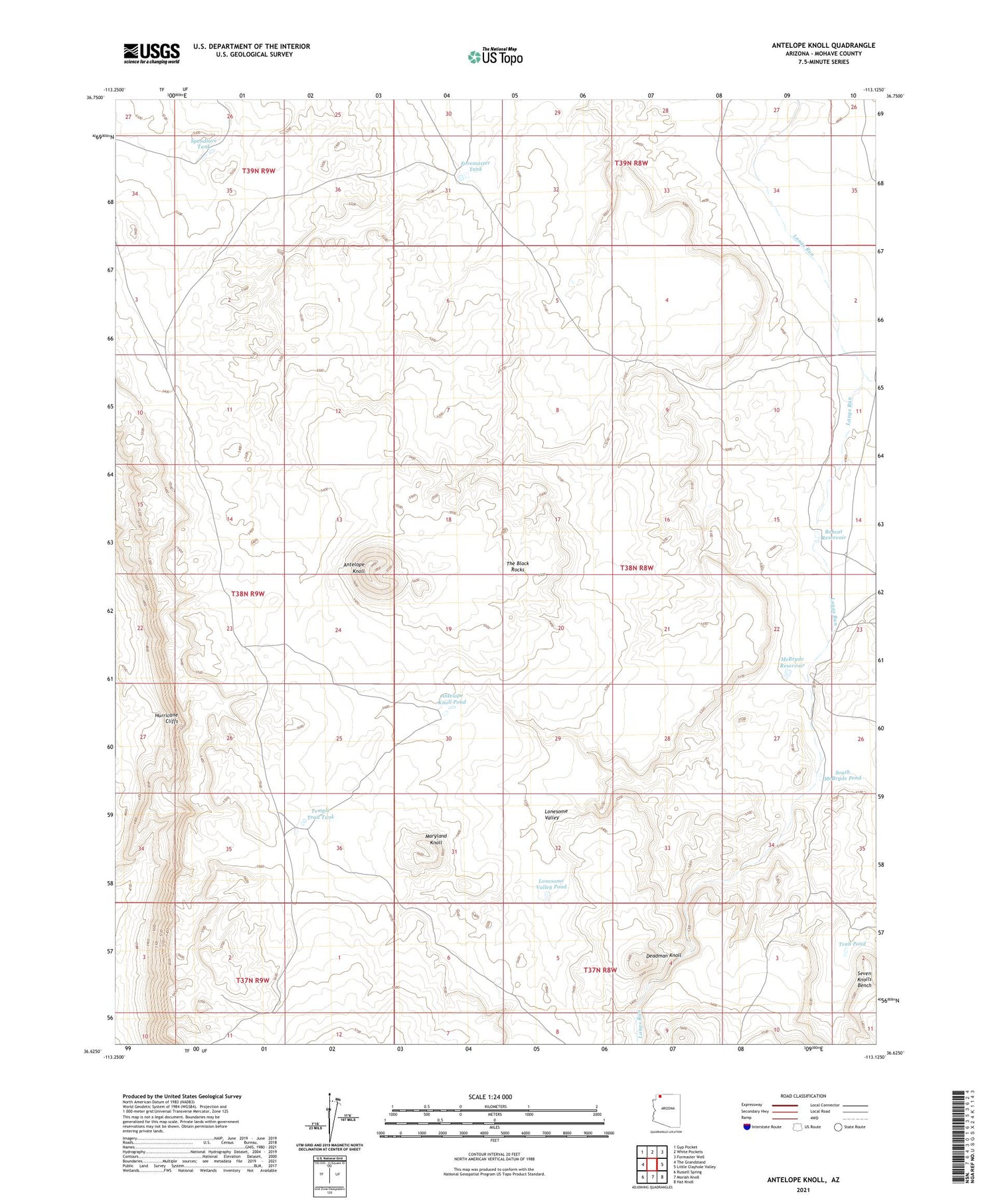
2021 topographic map quadrangle Antelope Knoll in the state of Arizona. Scale: 1:24000. Based on the newly updated USGS 7.5' US Topo map series, this map is in the following counties: Mohave. The map contains contour data, water features, and other items you are used to seeing on USGS maps, but also has updated roads and other features. This is the next generation of topographic maps. Printed on high-quality waterproof paper with UV fade-resistant inks.
Quads adjacent to this one:
West: The Grandstand
Northwest: Gyp Pocket
North: White Pockets
Northeast: Formaster Well
East: Little Clayhole Valley
Southeast: Hat Knoll
South: Moriah Knoll
Southwest: Russell Spring
This map covers the same area as the classic USGS quad with code o36113f2.
Contains the following named places: Antelope Knoll, Antelope Knoll Pond, Bobcat Reservoir, Deadman Knoll, Foremaster Tank, Little Clayhole Wash, Lonesome Valley, Lonesome Valley Pond, Maryland Knoll, McBryde Reservoir, South McBryde Pond, Spendlove Tank, Temple Trail Tank, Trail Pond


