MyTopo
Howard Spring Arizona US Topo Map
Couldn't load pickup availability
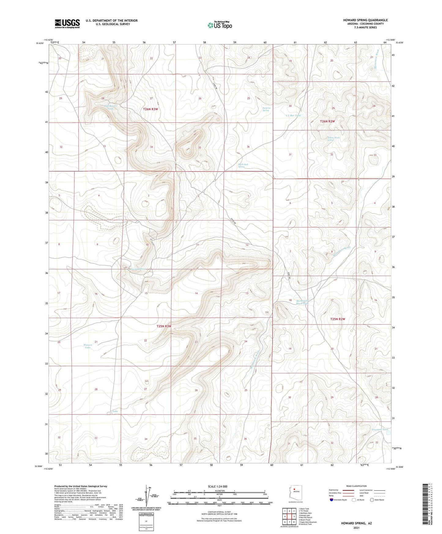
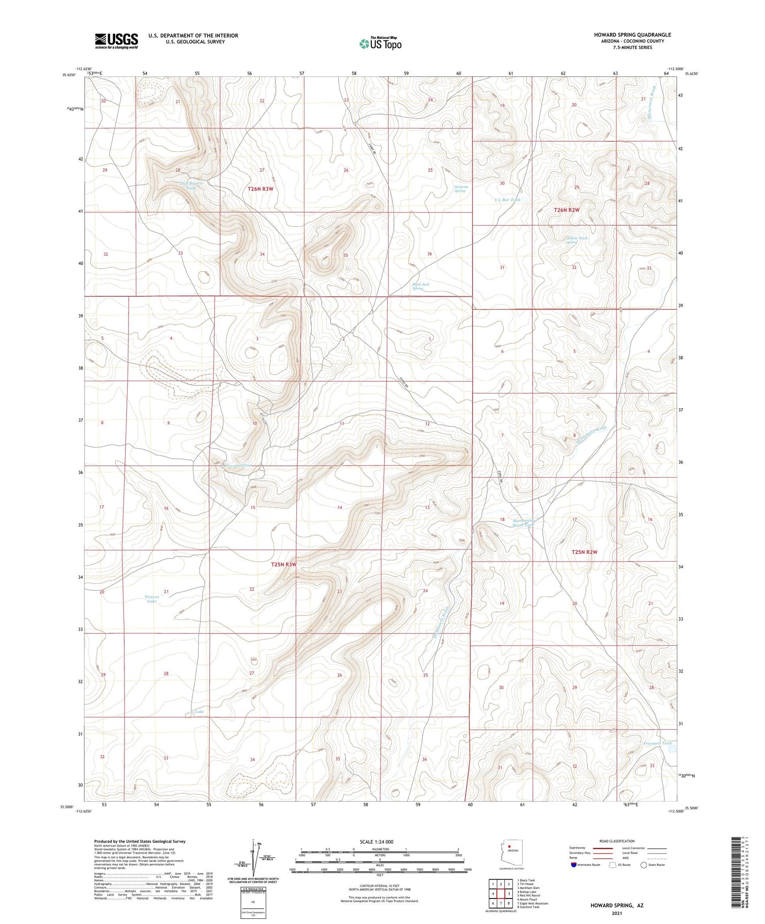
2021 topographic map quadrangle Howard Spring in the state of Arizona. Scale: 1:24000. Based on the newly updated USGS 7.5' US Topo map series, this map is in the following counties: Coconino. The map contains contour data, water features, and other items you are used to seeing on USGS maps, but also has updated roads and other features. This is the next generation of topographic maps. Printed on high-quality waterproof paper with UV fade-resistant inks.
Quads adjacent to this one:
West: Bishop Lake
Northwest: Black Tank
North: Tin House
Northeast: Markham Dam
East: Red Hill Ranch
Southeast: Stanford Tank
South: Eagle Nest Mountain
Southwest: Mount Floyd
This map covers the same area as the classic USGS quad with code o35112e5.
Contains the following named places: Black Jack Spring, C Lake, Duff Brown Tank, Espee Camp, Freeman Tank, Howard Spring, Little Freeman Tank, Middle Water Tank, Monument Wash Tank, Surprise Spring, V L Bar Tank, Watson Lake, Willow Wash Spring