MyTopo
La Paz Mountain Arizona US Topo Map
Couldn't load pickup availability
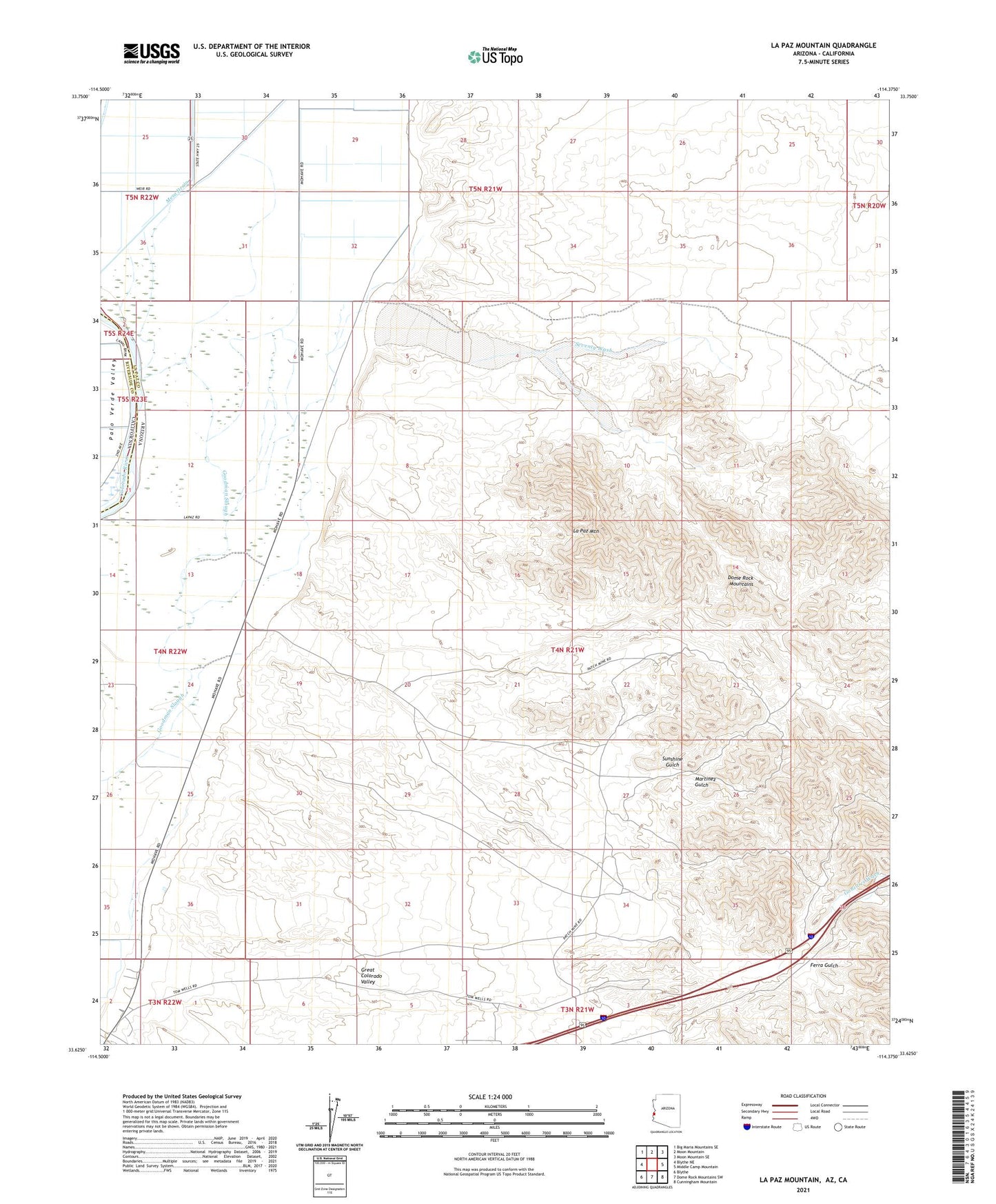
2021 topographic map quadrangle La Paz Mountain in the state of Arizona. Scale: 1:24000. Based on the newly updated USGS 7.5' US Topo map series, this map is in the following counties: La Paz, Riverside. The map contains contour data, water features, and other items you are used to seeing on USGS maps, but also has updated roads and other features. This is the next generation of topographic maps. Printed on high-quality waterproof paper with UV fade-resistant inks.
Quads adjacent to this one:
West: Blythe NE
Northwest: Big Maria Mountains SE
North: Moon Mountain
Northeast: Moon Mountain SE
East: Middle Camp Mountain
Southeast: Cunningham Mountain
South: Dome Rock Mountains SW
Southwest: Blythe
Contains the following named places: Ferra Gulch, Gonzales Wash, Goodman Mine, Goodman Tank, Goodman Wash, Israel Mine, La Paz, La Paz Mountain, La Paz Wash, La Paz Well, Martinez Gulch, Martinez Well, Morgantown, Quail Mesa Airport, Seventy Wash, Sunshine Gulch