
MyTopo
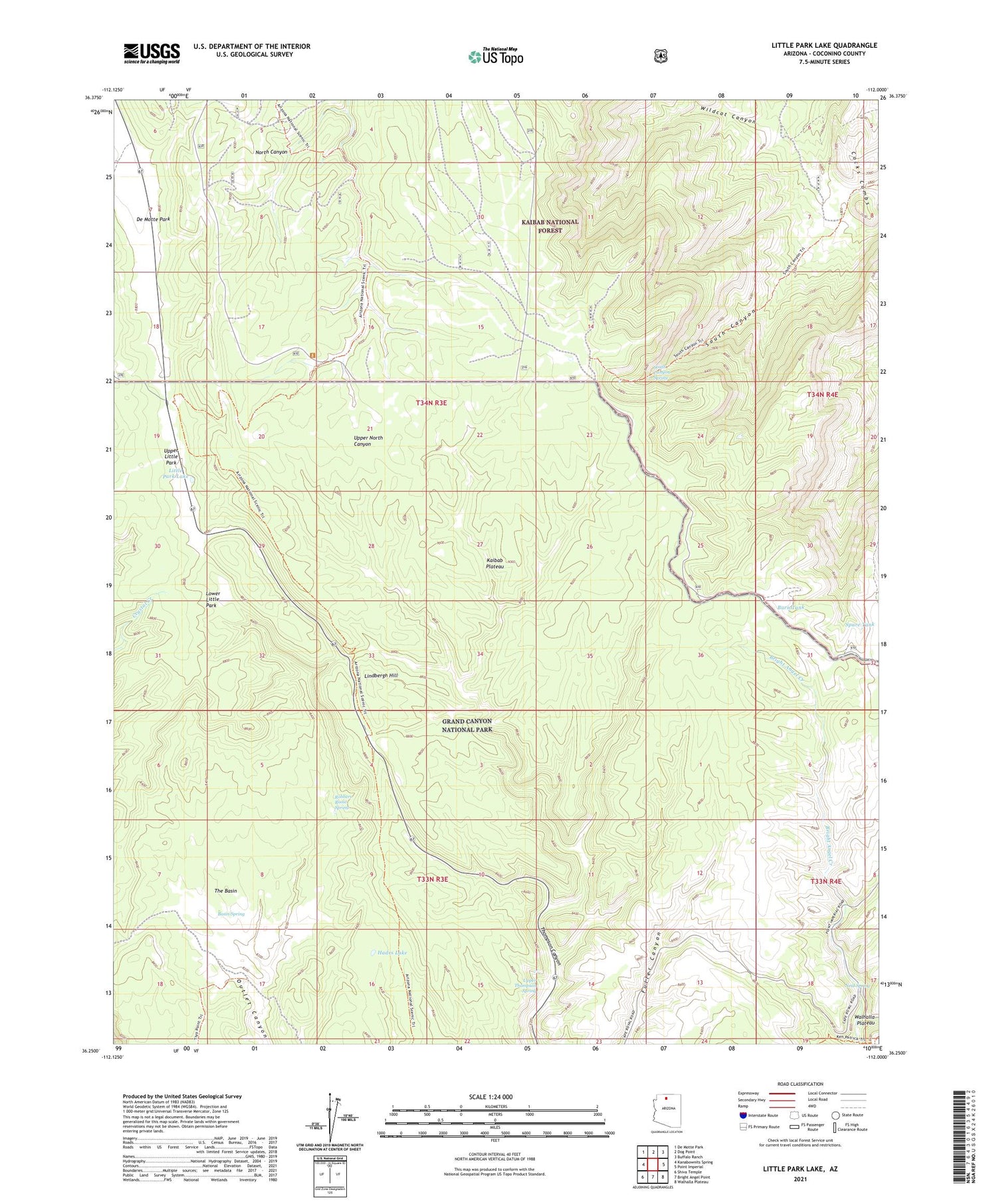
Little Park Lake Arizona US Topo Map
Couldn't load pickup availability
Also explore the Little Park Lake Forest Service Topo of this same quad for updated USFS data
2021 topographic map quadrangle Little Park Lake in the state of Arizona. Scale: 1:24000. Based on the newly updated USGS 7.5' US Topo map series, this map is in the following counties: Coconino. The map contains contour data, water features, and other items you are used to seeing on USGS maps, but also has updated roads and other features. This is the next generation of topographic maps. Printed on high-quality waterproof paper with UV fade-resistant inks.
Quads adjacent to this one:
West: Kanabownits Spring
Northwest: De Motte Park
North: Dog Point
Northeast: Buffalo Ranch
East: Point Imperial
Southeast: Walhalla Plateau
South: Bright Angel Point
Southwest: Shiva Temple
This map covers the same area as the classic USGS quad with code o36112c1.
Contains the following named places: Basin Spring, Burn Tank, Hades Lake, Johns Tank, Lindbergh Hill, Little Park Lake, Lower Little Park, Mason Well, Neal Spring, North Rim Entrance Station, North Rim Lookout Tower, Robbers Roost Spring, Sourdough Well, South Canyon Spring, Spare Tank, The Basin, Upper Little Park, Upper Thompson Spring, Vaughn Tank


