MyTopo
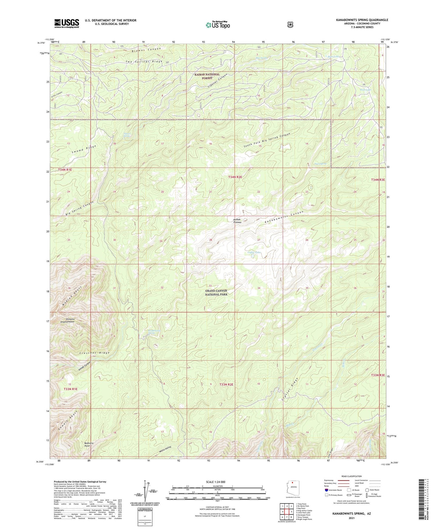
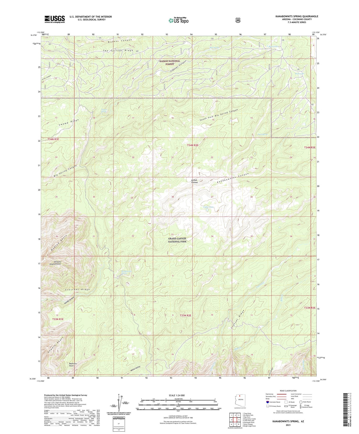
Kanabownits Spring Arizona US Topo Map
Couldn't load pickup availability
Also explore the Kanabownits Spring Forest Service Topo of this same quad for updated USFS data
2021 topographic map quadrangle Kanabownits Spring in the state of Arizona. Scale: 1:24000. Based on the newly updated USGS 7.5' US Topo map series, this map is in the following counties: Coconino. The map contains contour data, water features, and other items you are used to seeing on USGS maps, but also has updated roads and other features. This is the next generation of topographic maps. Printed on high-quality waterproof paper with UV fade-resistant inks.
Quads adjacent to this one:
West: King Arthur Castle
Northwest: Timp Point
North: De Motte Park
Northeast: Dog Point
East: Little Park Lake
Southeast: Bright Angel Point
South: Shiva Temple
Southwest: Havasupai Point
This map covers the same area as the classic USGS quad with code o36112c2.
Contains the following named places: Bear Lake, Bear Spring, Bear Spring Tank, Bedivere Point, Coffee Lake, Crescent Ridge, Crystal Ridge, Fawn Spring, Kanabownits Lookout Tower, Kanabownits Spring, Little Dragon, Point Sublime Trail, Shinumo Amphitheater, South Big Spring Tank, South Fork Big Spring Canyon, Swamp Ridge, Tipover Canyon, Tipover Spring, Two Springs Ridge, Wall Lake