MyTopo
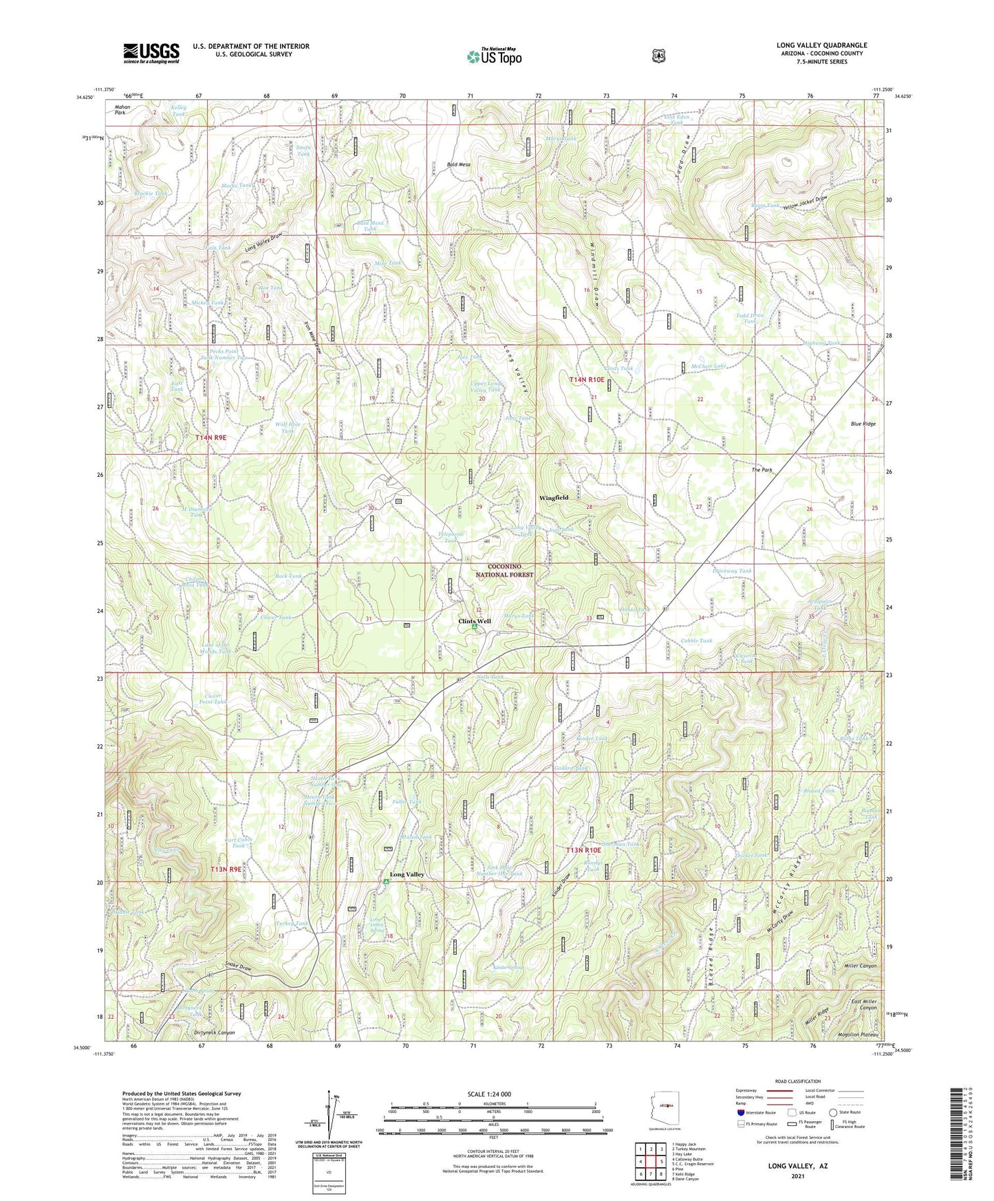
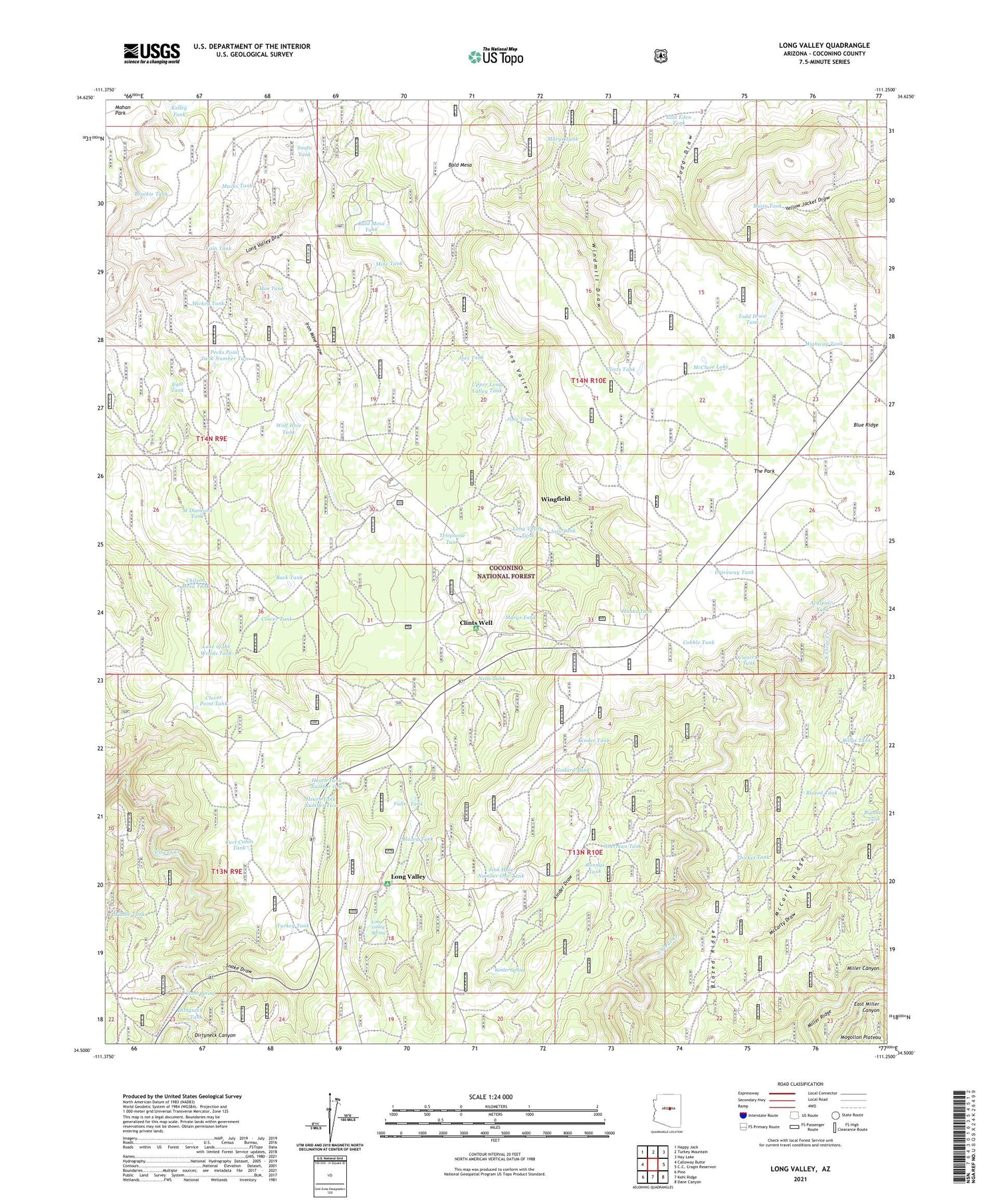
Long Valley Arizona US Topo Map
Couldn't load pickup availability
Also explore the Long Valley Forest Service Topo of this same quad for updated USFS data
2021 topographic map quadrangle Long Valley in the state of Arizona. Scale: 1:24000. Based on the newly updated USGS 7.5' US Topo map series, this map is in the following counties: Coconino. The map contains contour data, water features, and other items you are used to seeing on USGS maps, but also has updated roads and other features. This is the next generation of topographic maps. Printed on high-quality waterproof paper with UV fade-resistant inks.
Quads adjacent to this one:
West: Calloway Butte
Northwest: Happy Jack
North: Turkey Mountain
Northeast: Hay Lake
Southeast: Dane Canyon
South: Kehl Ridge
Southwest: Pine
This map covers the same area as the classic USGS quad with code o34111e3.
Contains the following named places: Aculpulco Tank, Aswan Tank, Back Tank, Bald Mesa, Bald Mesa Tank, Basin Tank, Billys Tank, Blazed Tank, Blue Ridge, Brockie Tank, Cart Cabin Tank, Chilson Mesa Tank, Clark Tank, Clearcut Tank, Clint Wells Campground, Clints Tank, Clints Well, Clover Point Tank, Clover Spring, Clover Tank, Cobble Tank, Dirtyneck Canyon, Dirtyneck Tank, Driveway Tank, Dry Lake, East Miller Canyon, East Tank, Fain Tank, Fortyfour Canyon, Fuller Tank, Godard Tank, Hanks Tank, Heath Tank Number One, Heath Tank Number Two, Highway Tank, Hoe Tank, Hoot Tank, Iron Mine Draw, Jims Tank, Joes Tank, Jones Crossing, Kelley Tank, Kinder Draw, Kinder Spring, Kinder Tank, Lake of the Woods Tank, Last Chance Mine, Long Valley, Long Valley Draw, Long Valley Experimental Forest, Long Valley Spring, Long Valley Tank, Lost Eden Tank, M Diamond Tank, Macks Tank, Marys Tank, McCarty Ridge, McClure Lake, Mickey Tank, Middle Tank, Mine Tank, Natural Tank, Nells Tank, Pecks Point Tank Number Two, Pigman Tank, Roadside Tank, Rock Tank, Ronnys Tank, Section 26 Tank, Sherman Tank, Sink Hole Number One Tank, Snafu Tank, Snake Draw, Telephone Tank, The Park, Thicket Tank, Todd Draw Tank, Turkey Tank, Upper Long Valley Tank, Wingfield, Wolf Hole Tank


