MyTopo
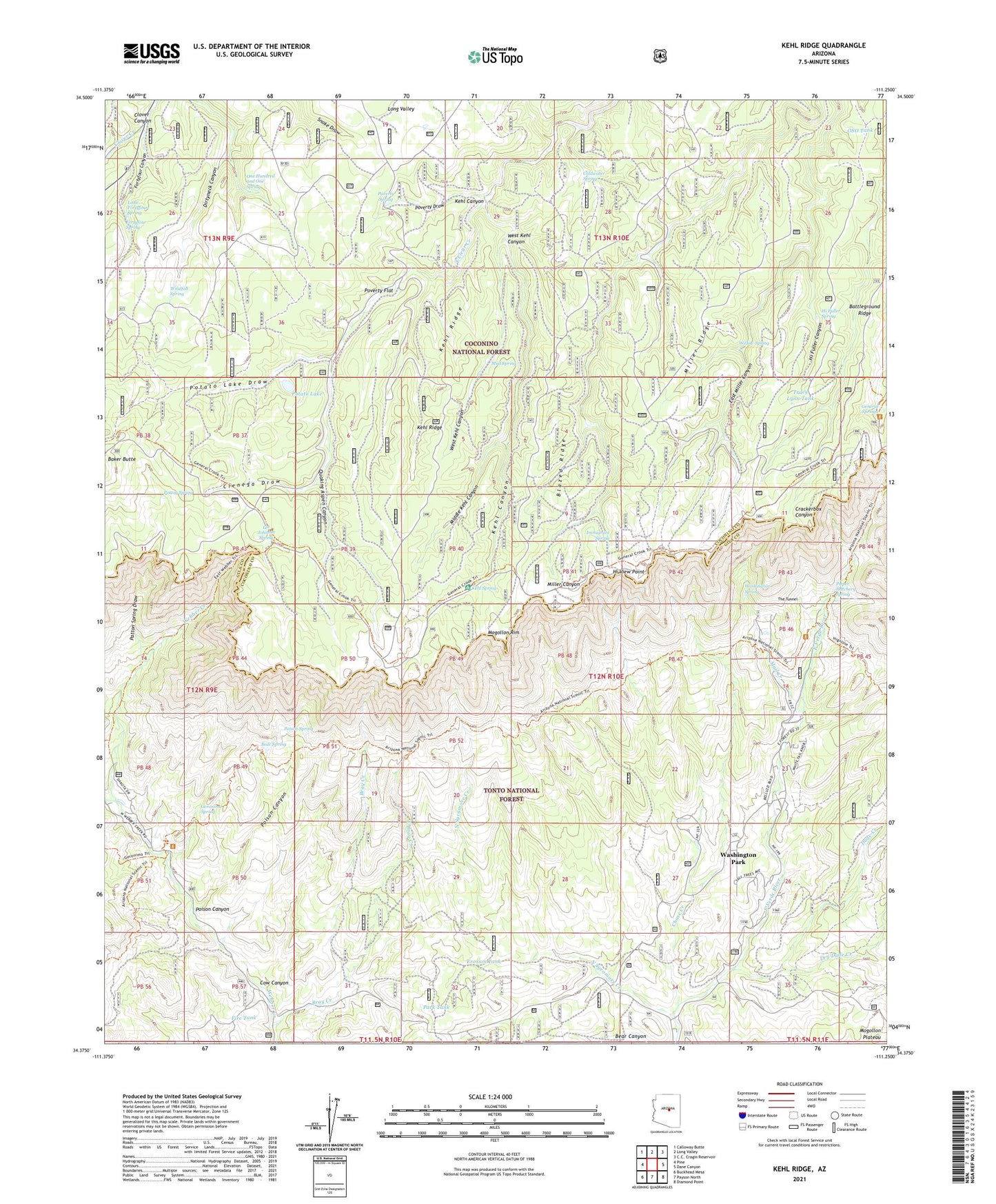
Kehl Ridge Arizona US Topo Map
Couldn't load pickup availability
Also explore the Kehl Ridge Forest Service Topo of this same quad for updated USFS data
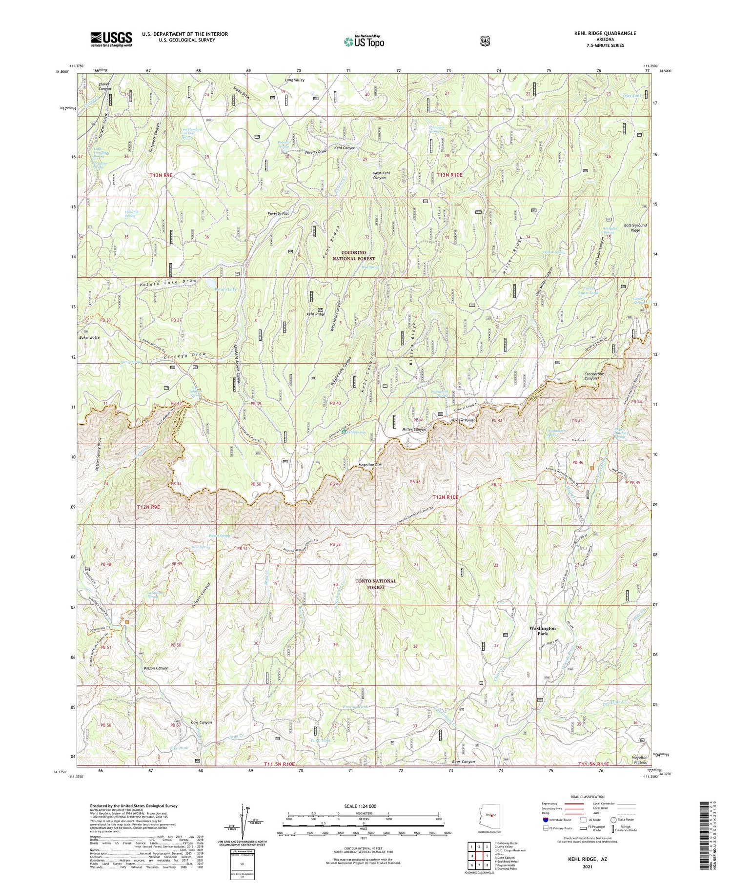
2021 topographic map quadrangle Kehl Ridge in the state of Arizona. Scale: 1:24000. Based on the newly updated USGS 7.5' US Topo map series, this map is in the following counties: Gila, Coconino. The map contains contour data, water features, and other items you are used to seeing on USGS maps, but also has updated roads and other features. This is the next generation of topographic maps. Printed on high-quality waterproof paper with UV fade-resistant inks.
Quads adjacent to this one:
West: Pine
Northwest: Calloway Butte
North: Long Valley
East: Dane Canyon
Southeast: Diamond Point
South: Payson North
Southwest: Buckhead Mesa
This map covers the same area as the classic USGS quad with code o34111d3.
Contains the following named places: Battle of Big Dry Wash Historical Marker, Battleground Ridge, Bear Spring, Blazed Ridge, Bray Creek, Bray Creek Ranch, Center Tank, Chase Creek, Cienega Draw, Clover Canyon, Coldwater Spring, Cow Canyon, Dry Dude Creek, Dude Creek, East Bray Creek, Erosion Tank, Estate Tank, Fire Tank, Fortyfour Spring, General George Crook National Recreation Trail, General Springs, General Springs Cabin, Geronimo Spring, Geronimo Trailhead, Hi Fuller Canyon, Hi Fuller Spring, Hi View Point, Immigrant Spring, Jiffer Tank, Kehl Campground, Kehl Canyon, Kehl Ridge, Kehl Spring, Lee Johnson Spring, Little Fortyfour Spring, Mail Creek, Middle Kehl Canyon, Miller Ridge, Mud Spring, North Sycamore Creek, One Hundred and One Spring, OSO Tank, Park Tank, Patton Spring, Patton Spring Draw, Pieper Hatchery Spring, Poison Canyon, Poison Spring, Potato Lake, Potato Lake Draw, Poverty Draw, Poverty Flat, Poverty Spring, Quaking Aspen Canyon, Shadow Rim Camp, The Tunnel, Tracy Lynn Tank, Verde Glen, Verde Glen Campground, Washington Park, Washington Park Census Designated Place, Washington Park Trailhead, Washington Spring, Webber Tank, West Kehl Canyon, West Webber Creek, Willow Spring, Windfall Spring


