MyTopo
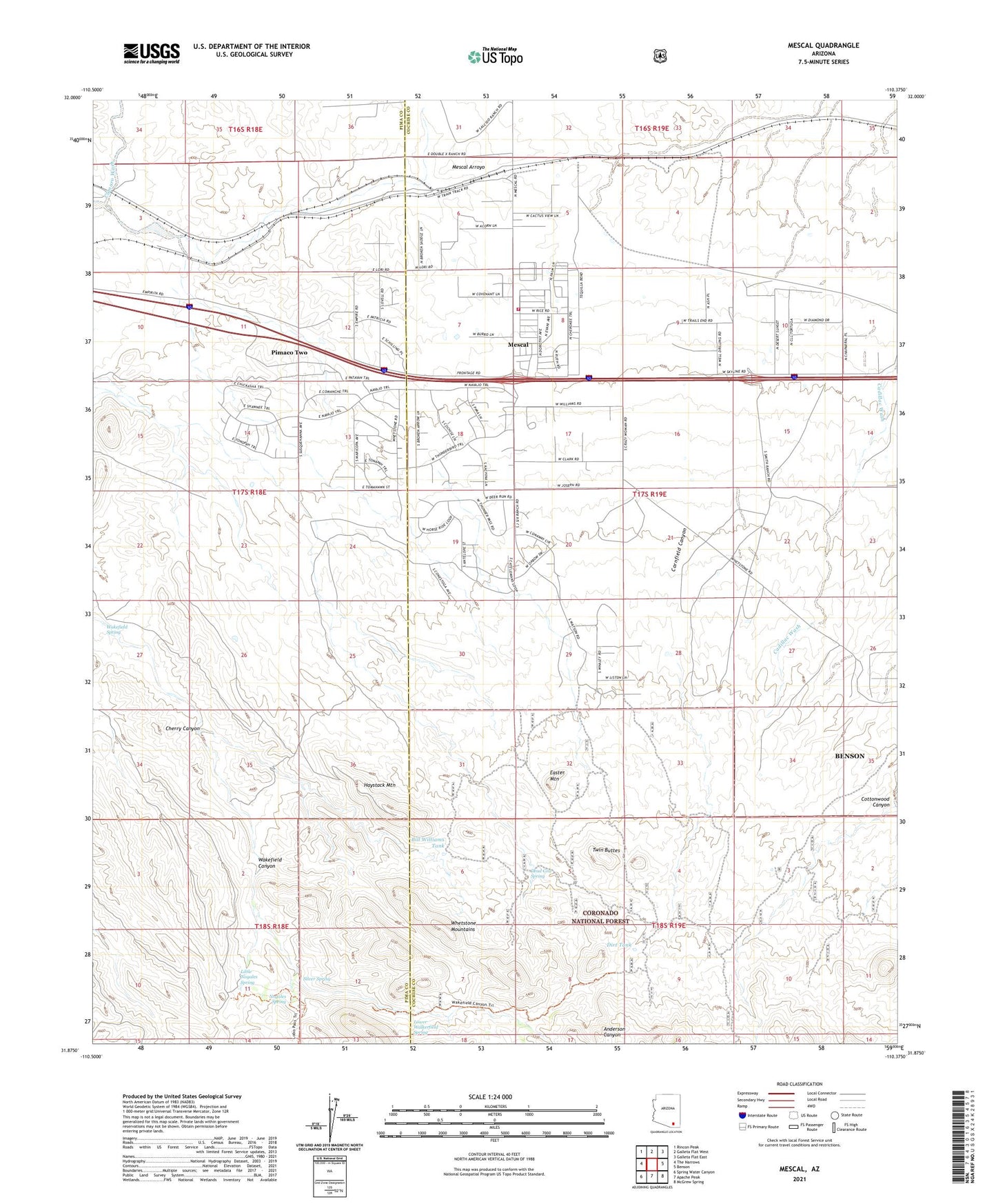
Mescal Arizona US Topo Map
Couldn't load pickup availability
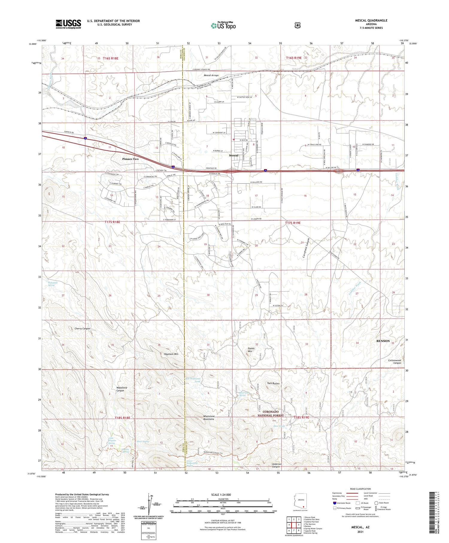
Also explore the Mescal Forest Service Topo of this same quad for updated USFS data
2021 topographic map quadrangle Mescal in the state of Arizona. Scale: 1:24000. Based on the newly updated USGS 7.5' US Topo map series, this map is in the following counties: Cochise, Pima. The map contains contour data, water features, and other items you are used to seeing on USGS maps, but also has updated roads and other features. This is the next generation of topographic maps. Printed on high-quality waterproof paper with UV fade-resistant inks.
Quads adjacent to this one:
West: The Narrows
Northwest: Rincon Peak
North: Galleta Flat West
Northeast: Galleta Flat East
East: Benson
Southeast: McGrew Spring
South: Apache Peak
Southwest: Spring Water Canyon
This map covers the same area as the classic USGS quad with code o31110h4.
Contains the following named places: B Smith Ranch, Bill Williams Tank, Canary Well, Cherry Canyon, Church of Christ, Community Bible Church, Crystal Well, Cumaro Wash, Dead Cow Spring, Dirt Tank, Dolphin Well, Double X Ranch, Easter Mountain, Forest Well, Haystack Mountain, Jason Well, Jay Six Ranch, J-Six Ranchettes Census Designated Place, KAVV-FM (Benson), KAVV-FM (Sierra Vista), Little Nogales Spring, Lower Walkerfield Spring, Mescal, Mescal - J6 Fire District, Mescal Census Designated Place, Naegle Well, New West School, Nogales Spring, North Tank, Peace in the Valley Lutheran Church, Pimaco Two, Round Corral, Silver Spring, Trask Well, Twin Buttes, Wakefield Spring, West Well, Wildcat Well, Williams Ranch, Williams Well