MyTopo
Galleta Flat East Arizona US Topo Map
Couldn't load pickup availability
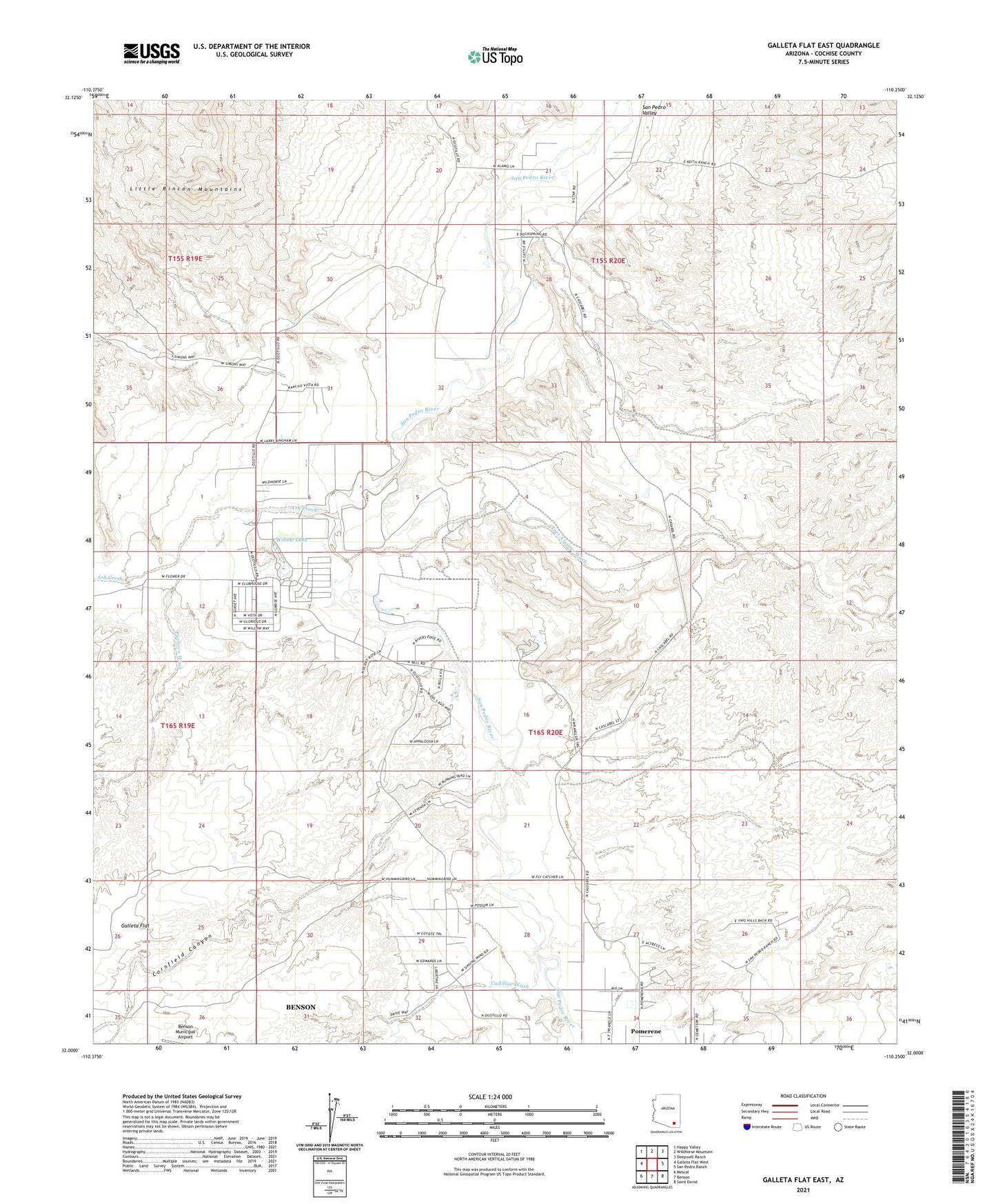
2021 topographic map quadrangle Galleta Flat East in the state of Arizona. Scale: 1:24000. Based on the newly updated USGS 7.5' US Topo map series, this map is in the following counties: Cochise. The map contains contour data, water features, and other items you are used to seeing on USGS maps, but also has updated roads and other features. This is the next generation of topographic maps. Printed on high-quality waterproof paper with UV fade-resistant inks.
Quads adjacent to this one:
West: Galleta Flat West
Northwest: Happy Valley
North: Wildhorse Mountain
Northeast: Deepwell Ranch
East: San Pedro Ranch
Southeast: Saint David
South: Benson
Southwest: Mescal
This map covers the same area as the classic USGS quad with code o32110a3.
Contains the following named places: Ash Creek, Benson Division, Cadillac Wash, Cornfield Canyon, Pacheco Wash, Pachelo Ranch, Section Fourteen Well, Singing Wind Ranch, Stone Tank, Tres Alamos Ranch, Tres Alamos Wash, Willow Lake