MyTopo
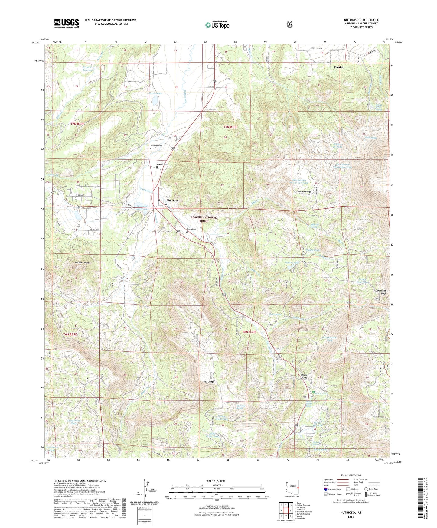
Nutrioso Arizona US Topo Map
Couldn't load pickup availability
Also explore the Nutrioso Forest Service Topo of this same quad for updated USFS data
2021 topographic map quadrangle Nutrioso in the state of Arizona. Scale: 1:24000. Based on the newly updated USGS 7.5' US Topo map series, this map is in the following counties: Apache. The map contains contour data, water features, and other items you are used to seeing on USGS maps, but also has updated roads and other features. This is the next generation of topographic maps. Printed on high-quality waterproof paper with UV fade-resistant inks.
Quads adjacent to this one:
West: Rudd Knoll
Northwest: Eagar
North: Nelson Reservoir
Northeast: Loco Knoll
East: Escudilla Mountain
Southeast: Luna Lake
South: Alpine
Southwest: Buffalo Crossing
This map covers the same area as the classic USGS quad with code o33109h2.
Contains the following named places: Alpine Divide, Alpine Divide Campground, Alpine Divide Spring, Auger Creek, Carex Spring, Charlies Spring, Colter Creek, Corral Tank, Crackerjack Tank, Divide Tank, East Section Thirty-five Tank, Escudilla Mountain, Feaster, Foster Ranch, Gobbler Peak, Greenhead Tank, Hulsey Bench, Hulsey Creek, Hulsey Fork Tank, Hulsey Lake, Hulsey Lake Dam, Husley Tank, Jarvis Dam, Jarvis Lake, Long Draw Tank, Long Tank, Maxwell Cemetery, Milk Creek, Milk Flat Spring, Miller Ranch, Noble Draw Tank, Noble Mountain, Nutrioso, Nutrioso Census Designated Place, Nutrioso Dam, Nutrioso Post Office, Nutrioso Reservoir, Paddy Creek, Paddy Fork Tank, Profanity Tank, Riggs Creek Dam, Riggs Creek Reservoir, Road Forks Tank, Rogers Cemetery, Sandy Spring, Section 26 Tank, Shane Tank, Tal-Wi-Wi Lodge, Tal-Wi-Wi Ranch, Tal-Wi-Wi Tank, Toolbox Draw, Trail Tank, Turkey Draw Tank, Welch Spring, West Section Thirty-five Tank, White Mountain Boys Ranch, Whitetail Spring, Woods Creek Spring, ZIP Code: 85932