MyTopo
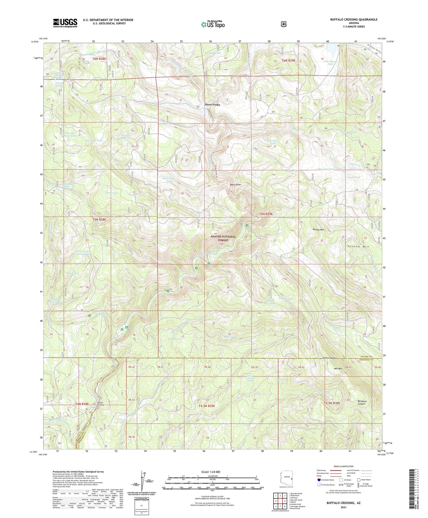
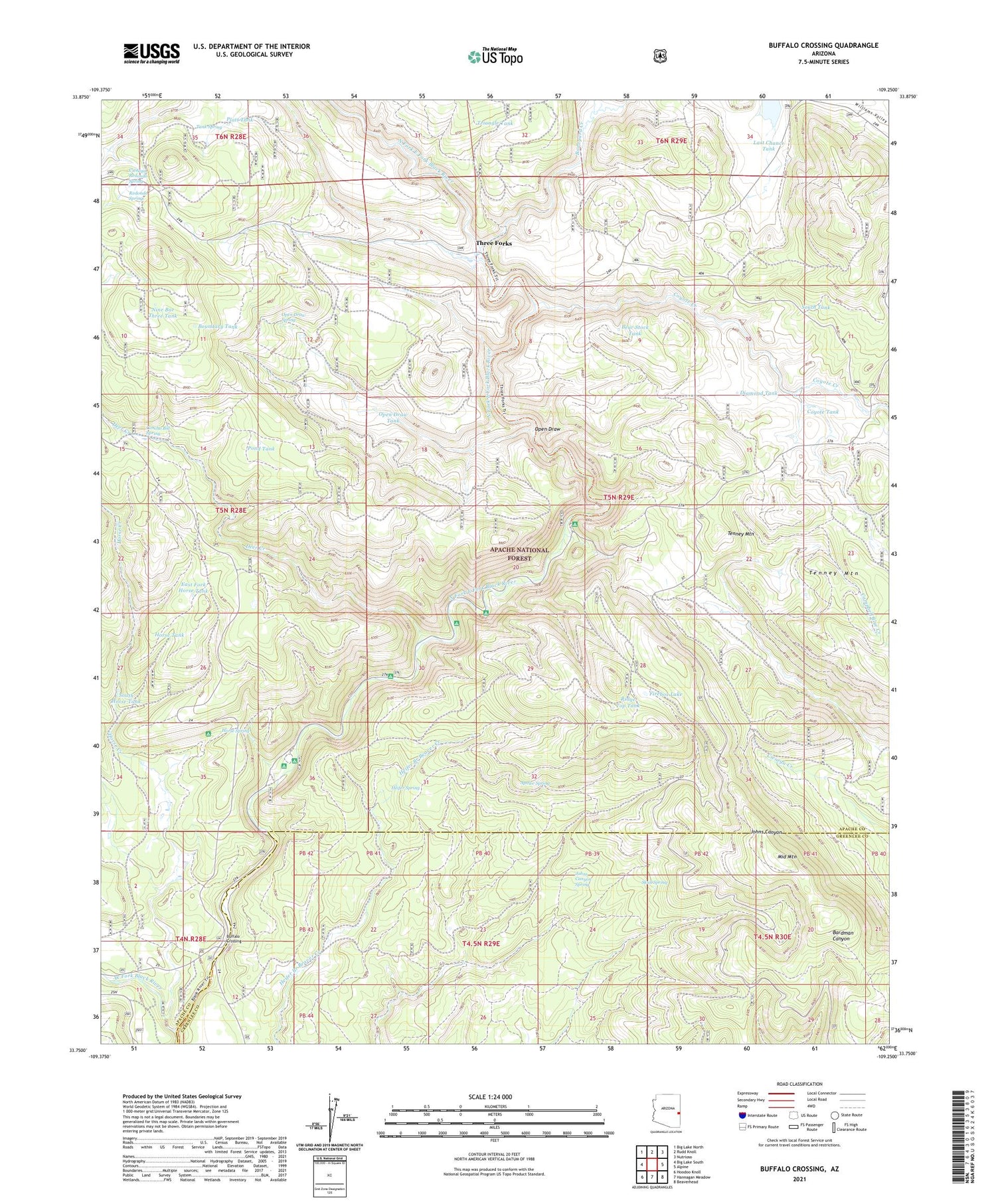
Buffalo Crossing Arizona US Topo Map
Couldn't load pickup availability
Also explore the Buffalo Crossing Forest Service Topo of this same quad for updated USFS data
2021 topographic map quadrangle Buffalo Crossing in the state of Arizona. Scale: 1:24000. Based on the newly updated USGS 7.5' US Topo map series, this map is in the following counties: Apache, Greenlee. The map contains contour data, water features, and other items you are used to seeing on USGS maps, but also has updated roads and other features. This is the next generation of topographic maps. Printed on high-quality waterproof paper with UV fade-resistant inks.
Quads adjacent to this one:
West: Big Lake South
Northwest: Big Lake North
North: Rudd Knoll
Northeast: Nutrioso
East: Alpine
Southeast: Beaverhead
South: Hannagan Meadow
Southwest: Hoodoo Knoll
This map covers the same area as the classic USGS quad with code o33109g3.
Contains the following named places: 88A Tank, Apalee Spring, Aspen Campground, Aspen Forest Camp, Bear Stock Tank, Beaver Dam Forest Camp, Boneyard Creek, Boundary Tank, Brentwood, Buffalo Crossing, Buffalo Crossing Camp, Center Tank, Cienega Redondo Camp, Cienega Redondo Spring, Clabber City, Concho Bill Spring, Coyote Creek, Coyote Tank, Deer Creek, Deer Creek Campground, Diamond Rock Campground, Diamond Rock Forest Camp, Diamond Tank, Dry Lake, East Fork Black River, East Fork Horse Tank, Firebox Lake, Hall Forest Camp, Heap Tank, Heifer Spring, Horse Creek, Horse Spring, Horse Spring Campground, Horse Tank, Johns Canyon Spring, Lake Sierra Blanca, Last Chance Tank, Loggers Bog, Middle Mountain, Middle Mountain Tank, Nine Bar Three Tank, North Fork East Fork Black River, Open Draw, Open Draw Spring, Open Draw Tank, P S Knoll Forest Camp, Platt Tank, Pond Tank, Raccoon Campground, Railroad Tank, Redondo Spring, Ridge Top Tank, Skull Spring, South Draw Tank, South Horse Tank, South Tank, Spur Eleven Tank, Sut Tank, Tank Spring, Three Forks, Triangle Tank, West Fork Black River, West Side Tank


