MyTopo
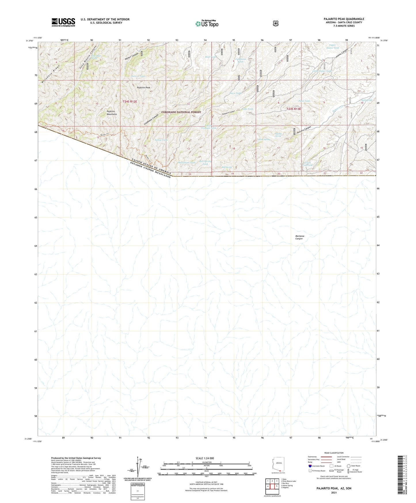
Pajarito Peak Arizona US Topo Map
Couldn't load pickup availability
Also explore the Pajarito Peak Forest Service Topo of this same quad for updated USFS data
2021 topographic map quadrangle Pajarito Peak in the state of Arizona. Scale: 1:24000. Based on the newly updated USGS 7.5' US Topo map series, this map is in the following counties: Santa Cruz. The map contains contour data, water features, and other items you are used to seeing on USGS maps, but also has updated roads and other features. This is the next generation of topographic maps. Printed on high-quality waterproof paper with UV fade-resistant inks.
Quads adjacent to this one:
West: Alamo Spring
Northwest: Ruby
North: Pena Blanca Lake
Northeast: Rio Rico
East: Nogales
This map covers the same area as the classic USGS quad with code o31111c1.
Contains the following named places: Adobe Spring, Bull Spring, Bull Spring Tank, Calabasas Tank, Davis Tank, Green Can Tank, Juniper Tank Dam, Little Alamo Tank, Lobo Tank, Lower Triangle Tank, Mine Shaft Spring, Monument Tank, Mud Tank, Old Bextrum Mine, Pajarito Mountains, Pajarito Peak, Pesquiera Tank, Punk Tank, Russell Spring, Sonny Tank, Split Tank, Sunset Mine, Three C Tank, Tinker Dam, Upper Alamo Tank, Upper Calabasas Dam, Walker Dam, White Oak Mine