MyTopo
Pena Blanca Lake Arizona US Topo Map
Couldn't load pickup availability
Also explore the Pena Blanca Lake Forest Service Topo of this same quad for updated USFS data
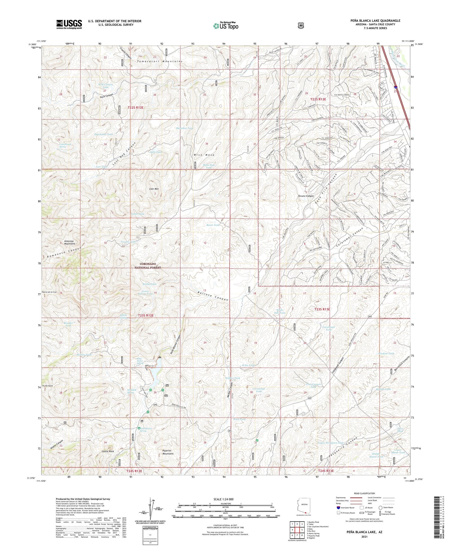
2021 topographic map quadrangle Pena Blanca Lake in the state of Arizona. Scale: 1:24000. Based on the newly updated USGS 7.5' US Topo map series, this map is in the following counties: Santa Cruz. The map contains contour data, water features, and other items you are used to seeing on USGS maps, but also has updated roads and other features. This is the next generation of topographic maps. Printed on high-quality waterproof paper with UV fade-resistant inks.
Quads adjacent to this one:
West: Ruby
Northwest: Murphy Peak
North: Tubac
Northeast: San Cayetano Mountains
East: Rio Rico
Southeast: Nogales
South: Pajarito Peak
Southwest: Alamo Spring
This map covers the same area as the classic USGS quad with code o31111d1.
Contains the following named places: Agua Fria Canyon, Alamo Canyon, Basin Tank, Bellota Canyon, Bellota Spring, Bellota Tank, Bellotosa Tank, Big Steve Mine, Bobby Tank, Boulder Tank, Buckshot Tank, Calabasas Picnic Area, Caralampi Tank, Castle Rock, Castle Tank, CCC Tank, Cottonwood Spring, Cruz Canyon Tank, Cumming Ranch, Dove Tank, Dutchman Tank, Fresno Canyon, H Six Tank, H Six Well, Kane Ranch, Lion Mountain, Lost Dog Canyon, Lost Tank, Lowell Ranch, Lower Alamo Tank, Lower Bellota Tank, Mesa Side Tank, Middle Alamo Tank, Morning Mine, Nogales Division, Noonville, Peck Well, Pena Blanca Canyon, Pena Blanca Dam, Pena Blanca Lake, Pena Blanca Spring, Pena Blanca Trail Number Forty-one, Puerto de la Cruz, Ramanote Canyon, Ramanote Wells, Red Rock Picnic Area, Rio Rico Airstrip, Rio Rico Southwest Census Designated Place, Rock Tank, Rock Water Spring, Saint Patrick Mine, Split Tank, Thumb Rock Picnic Area, Toruno Canyon, Toruno Tank, Twin Tank, Upper Pesqueira Tank, Walker Canyon, Walker Tank, Waterfall Spring, White Oak Tank, White Rock Campground, Wisdom Tank, Wise Mesa, Wolf Canyon Tank, ZIP Code: 85648


