MyTopo
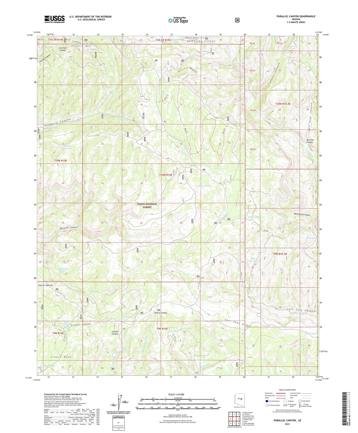
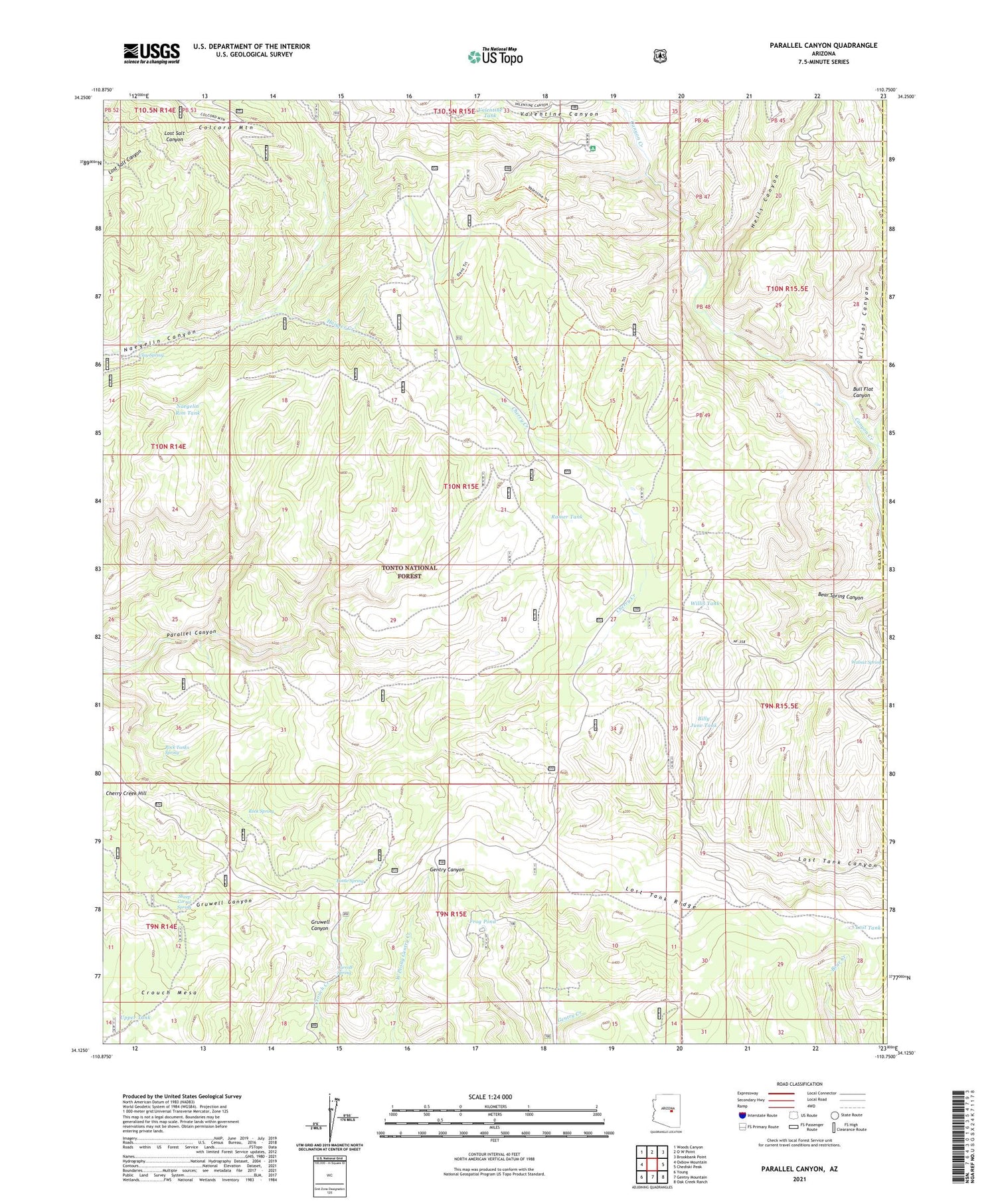
Parallel Canyon Arizona US Topo Map
Couldn't load pickup availability
Also explore the Parallel Canyon Forest Service Topo of this same quad for updated USFS data
2021 topographic map quadrangle Parallel Canyon in the state of Arizona. Scale: 1:24000. Based on the newly updated USGS 7.5' US Topo map series, this map is in the following counties: Gila, Navajo. The map contains contour data, water features, and other items you are used to seeing on USGS maps, but also has updated roads and other features. This is the next generation of topographic maps. Printed on high-quality waterproof paper with UV fade-resistant inks.
Quads adjacent to this one:
West: Oxbow Mountain
Northwest: Woods Canyon
North: O W Point
Northeast: Brookbank Point
East: Chediski Peak
Southeast: Oak Creek Ranch
South: Gentry Mountain
Southwest: Young
This map covers the same area as the classic USGS quad with code o34110b7.
Contains the following named places: Billy June Tank, Bottle Spring, Bull Flat Canyon, Burn Tank, Carroll Spring, Cherry Creek Hill, Clay Spring, Cow Creek, Frog Pond, Hells Canyon, Lost Lake, Lost Tank, Lost Tank Ridge, Naegelin Rim Tank, Nail Ranch, Ramer Tank, Red Lake Adminitrative Site, Redman Cave, Rock Spring, Rock Tanks Spring, Sheep Corral Spring, Swamp Creek, Trail Tank, Upper Tank, Valentine Canyon, Valentine Ridge Campground, Valentine Ridge Recreation Site, Valentine Tank, Walnut Spring, Willis Tank