MyTopo
Woods Canyon Arizona US Topo Map
Couldn't load pickup availability
Also explore the Woods Canyon Forest Service Topo of this same quad for updated USFS data
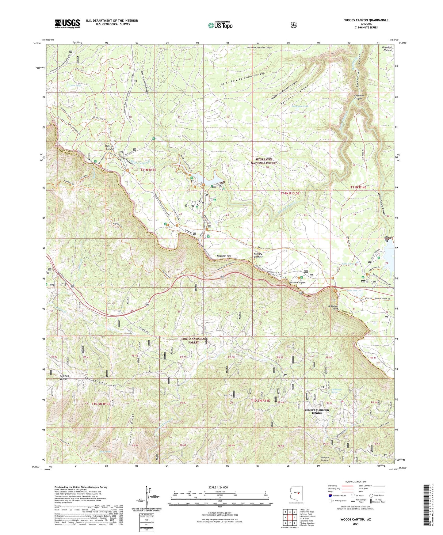
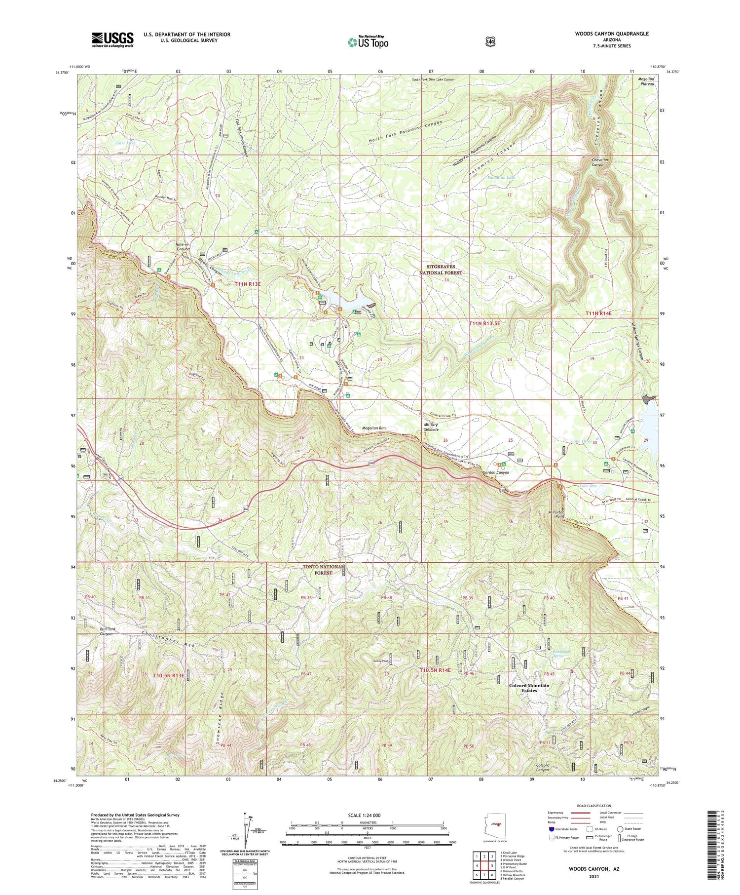
2021 topographic map quadrangle Woods Canyon in the state of Arizona. Scale: 1:24000. Based on the newly updated USGS 7.5' US Topo map series, this map is in the following counties: Gila, Coconino. The map contains contour data, water features, and other items you are used to seeing on USGS maps, but also has updated roads and other features. This is the next generation of topographic maps. Printed on high-quality waterproof paper with UV fade-resistant inks.
Quads adjacent to this one:
West: Promontory Butte
Northwest: Knoll Lake
North: Porcupine Ridge
Northeast: Weimer Point
East: O W Point
Southeast: Parallel Canyon
South: Oxbow Mountain
Southwest: Diamond Butte
This map covers the same area as the classic USGS quad with code o34110c8.
Contains the following named places: Al Fulton Point, Allenbaugh Spring, Aspen Campground, Aspen Recreation Area, Aspen Recreation Site, Bear Spring, Carr Lake, Carr Lake Trailhead, Christopher Kohl's Fire Department Ponderosa Estates Station 53, Christopher Mountain, Colcord Mountain Estates, Crook Campground, Drew Canyon Trailhead, East Fork Woods Canyon, Fisherman Trail, Gordon Canyon Ranch, Hole-in-Ground, Lake One, Lake Three, Middle Fork Palomino Canyon, Military Sinkhole, Military Sinkhole Trailhead, Mogollon Campground, Mogollon Rim Visitor Center, North Fork Chevelon Canyon, North Fork Palomino Canyon, Palomino Canyon, Palomino Lake, R Bar C Number Three, Rim Campground, Rim Lakes Vista, Rim Lakes Vista Trail, Rim Recreation Site, Rocky Point Recreation Area, Sharp Campground, Sharp Creek, Sinkhole Campground, Sleepy Hollow, Snowshoe Ridge, Spillway Campground, Thirteen Ranch, Turkey Peak, Two Sixty Trailhead, Willow Spring Lake Recreation Site, Willow Springs Boat Launch, Willow Springs Canyon, Willow Springs Dam, Willow Springs Lake, Wood Pond Campground, Woods Canyon, Woods Canyon Creek, Woods Canyon Dam, Woods Canyon Lake, Woods Canyon Lake Boat Launch, Woods Canyon Lake Recreation Area, Woods Canyon Vista, Woods Trailhead, ZIP Code: 85931


